Lipa - Dom na Menini planini
Starting point: Lipa (721 m)
| Lat/Lon: | 46,2614°N 14,8937°E |
| |
Time of walking: 3 h 15 min
Difficulty: easy marked way
Altitude difference: 732 m
Altitude difference po putu: 850 m
Map: Zgornja Savinjska dolina 1:50.000
Recommended equipment (summer):
Recommended equipment (winter): ice axe, crampons
Views: 24.175
 | 1 person likes this post |
Access to the starting point:
From the motorway Ljubljana - Celje take the exit Vransko. Continue driving along the old road in the direction of Ljubljana, but only until the road to Vransko branches off to the right. On the west side of Vransko you will see a road heading towards the village of Prapreče and Vologa. Follow the road, which then starts to climb steeply, through the village of Vologa to the Lipa Prevala, where you park in one of the car parks.
Access from the Zadrečka valley is also possible.
Path description:
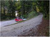
From the parking lot, follow the dirt road in the direction of Smolnik and Menina mountain pasture. After a moderately steep road, which passes through the forest the whole time, after a good 10 minutes' walk we reach a marked crossroads, where we continue to the left. The road gently slopes further and then continues crossing the slopes of Smolnika. After a while, you will see signs for Smolnik (sharp right), and we continue on the macadam road, which gradually starts to descend. A little further on, the marked path intersects a longer bend and then returns to the road, where it starts to descend more steeply. A small climb follows, and then the road descends to the isolated Jeseničnik farm, where the path from the village of Vologe joins us on the left.
Continue through the courtyard, then at the outbuilding continue right on cart track. Cart track then ascends diagonally to the left, crossing a grassy hayfield which offers a fine view of the Posavje hills. As the path enters the forest, it turns sharp right and then climbs slightly steeper to reach a less well maintained forest road. Slightly further on, a wide cart track road branches off from the above-mentioned road, slightly to the left, and after a few minutes' further walking this road leads us to the extensive grassy slopes called Slopi.
Here we see a lonely house on the right-hand side, and we continue in the same direction and walk across the less visible cart track to the middle of the grassy slope. Here we come across a slightly wider cart track, which we follow to the right, descending gently to a small hamlet. Here, cross a pasture fence and join a road which you follow westwards. The road then passes the hamlet on the right and, after a few steps, leads to a crossroads at which stands a small cross. At the cross, continue straight on (towards Biba), but follow the road to the left, which slowly starts to climb. After a short, steep climb, the road leads us into the forest, and the markings here direct us to the right on a steep footpath. This footpath soon crosses the wide cart track, and then continues along the rather overgrown and already abandoned cart track. Higher up, join the wider cart track, which you follow until you come out of the forest (as cart track has a few forks, follow the markings carefully). Once out of the forest, the trail turns right and after a few minutes of further walking leads to the macadam road leading to Menino mountain pasture. The ascent continues along the above-mentioned road, which initially offers beautiful views of the surrounding hills. The relatively slippery road then leads us past Limovska planina, and we follow it to a point where signs direct us to the right, over a pasture fence, onto a footpath. The footpath immediately turns left and quickly leads us along the edge of the forest to the shelter at Biba mountain pasture. From Biba mountain pasture continue along the marked path, which immediately after the chapel turns slightly to the left and continues to climb moderately over pleasant slopes. Higher up, the path lays down, crosses a stone fence and then continues along a pleasant grassy carpet. After a few minutes' further walking, the path descends gently and then crosses a wooden pasture fence at a small watering point. The path then crosses a short lane of wodland before joining a dirt road. The ascent continues along the above-mentioned folded road, and then signs direct you slightly to the left, onto a footpath which crosses above Lake Biba. On the other side of the lake, the path climbs a little more and then crosses the road again. The ascent continues along the marked footpath, which crosses the road or continues along it a few more times until it reaches the house on Menina mountain pasture.
In the fog, orientation is rather difficult.

Pictures:
 1
1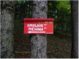 2
2 3
3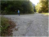 4
4 5
5 6
6 7
7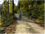 8
8 9
9 10
10 11
11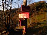 12
12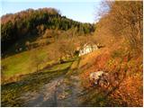 13
13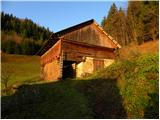 14
14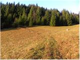 15
15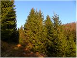 16
16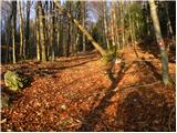 17
17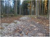 18
18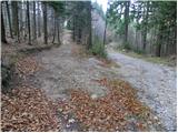 19
19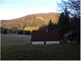 20
20 21
21 22
22 23
23 24
24 25
25 26
26 27
27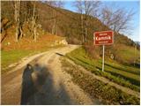 28
28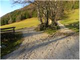 29
29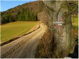 30
30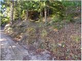 31
31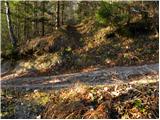 32
32 33
33 34
34 35
35 36
36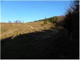 37
37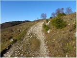 38
38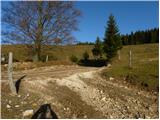 39
39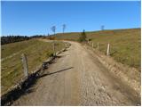 40
40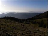 41
41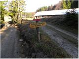 42
42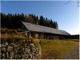 43
43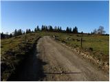 44
44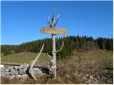 45
45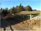 46
46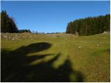 47
47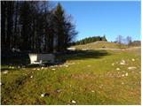 48
48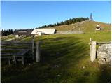 49
49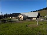 50
50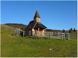 51
51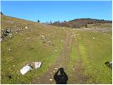 52
52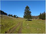 53
53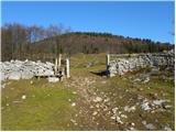 54
54 55
55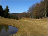 56
56 57
57 58
58 59
59 60
60 61
61 62
62 63
63 64
64 65
65 66
66 67
67 68
68 69
69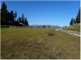 70
70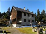 71
71
Discussion about the trail Lipa - Dom na Menini planini
|
| Vanjap10. 01. 2012 |
Obiščite Menino planino tudi pozimi. Za vikend imajo dežurstva. Hrana odlična, čaj gratis!  
|
|
|
|
| Lj29. 01. 2012 |
Smo obiskali včeraj in vse drži, kot je zapisala Vanjap. Na razcepu s 4. fotke smo šli naravnost, na Slopah se smeri združita. Lepa pohodniška, razpotegnjena varianta dostopa na Menino planino. Trenutno snega bolj malo, tako da niti gamaše niso potrebne. Zanima me pa, če mi kdo ve povedat, katera pot je označena z rumenimi tablicami, na katerih je narisan črn polžek?
|
|
|
|
| potepinka30. 01. 2012 |
Poglej TU Mogoče je to pravi polž.
|
|
|
|
| potepinka30. 01. 2012 |
Sem pozabila pripisati, da pri povezavi pogledaš pod zavihek "kam in kako", tam je pot na Goli vrh na Menini planini.
Upam, da je v pomoč in lep dan!
|
|
|
|
| Vanjap30. 01. 2012 |
Ja to je ta polžek. No zdaj pa vem, kaj pomeni. 
|
|
|
|
| Lj30. 01. 2012 |
Hvala potepinka in lep dan tudi tebi! Lp, Ljubica 
|
|
|
|
| pohodnica531. 02. 2012 |
Malce bi si skrajšala rada tole pot iz smeri Lipa do doma v tem zimskem času (na 2 urci hoje), pa me zanima, če je možno še kje vmes
parkirati; hvala in lp
|
|
|
|
| BRAZONIK1. 02. 2012 |
O ja,pelji se do Usranga klanca,to je mimo SEmprimožnika nad G.gradu,še 2km.,tam parkiraj,pa pot pod noge.Hoje je slabi 2uri.so že dežurni gor,se dobi čaj,ali kaj drugega.
|
|
|
|
| pohodnica531. 02. 2012 |
BRAZONIK, hvala za informacijo, G.grad mi je še bližji za dostop; super; lp 
|
|
|
|
| BRAZONIK1. 02. 2012 |
Jutri dopoldne bomo gor,dolžna si nam čaj.Lp
|
|
|
|
| pohodnica531. 02. 2012 |
Žal ne grem jutri gor, se pa zagotovo kdaj srečamo in častna, dobiš čaj pa še kakšne domače borovničke za vejico; lp 
|
|
|
|
| pohodnica536. 05. 2012 |
@BRAZONIK -obljubljene borovničke te plačane čakajo pri oskrbniku v Domu na Menini  ;
|
|
|
|
| miki_224. 03. 2013 |
Pot sicer lepa, vendar od slike 37 dalje sramotno slabo označena. Graja za PD, ki to pot upravlja. 
|
|
|
|
| Bernard Štiglic24. 03. 2013 |
Zadnjič sem prehodil Menino od Črnivca do Lipe.Do doma na Menini je pot dobro označena, naprej je potrebno nekaj iznajdljivosti. Seveda se je treba držati pravila, da pot prej prehodiš tudi v kopnih razmerah. Od doma na Menini do Lipe je mnogo markacij po večjih kamnih ob poti in ograjah, kar pa je v zdajšnjih razmerah globoko pod snegom. Zimske markacije so dobra rešitev.
|
|
|
|
| gorjanci27. 03. 2013 |
Čez praznike nameravam na Menino planino. Ogledna tura. Zanima me, kje je najbolje markirano v tem (zimskem) času. Je možna kakšna uporabna krožna tura?
|
|
|
|
| otiv28. 03. 2013 |
@gorjanci najbolje je markirano z Gornjega grada preko Borovnice ali mimo Semprimožnika.Verjetno je tudi najbolj zgaženo,da ne bo preveč dela  .Jaz grem najraje z Golic,ta pot ti lahko dela težave z orientacijo, zlasti v zimskem času,ko je veliko markacij pod snegom.Je tudi hitro zgažena in je človeku malo lažje pri hoji. Verjetno greš prvič na Menino,tako da ti želim vse najlepše. 
|
|
|
|
| CarpeDiem24731. 03. 2013 |
Se strinjam z Otiv-om, iz "naše" smeri mi je daleč najbližja pot iz Golic oz. Češnjic, na katerih pa lahko kaj hitro zaideš (preverjeno, hehe).
|
|
|