Litija - Janče (via Širmanski hrib)
Starting point: Litija (238 m)
| Lat/Lon: | 46,0575°N 14,8242°E |
| |
Name of path: via Širmanski hrib
Time of walking: 3 h 30 min
Difficulty: easy marked way
Altitude difference: 554 m
Altitude difference po putu: 554 m
Map: Posavsko hribovje zahodni del 1:50.000
Recommended equipment (summer):
Recommended equipment (winter):
Views: 8.963
 | 3 people like this post |
Access to the starting point:
Litija railway station - Litija is reached by train in the route Zidani most - Ljubljana or Ljubljana - Zidani most, by road in the route Ljubljana - Litija.
Path description:
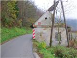
From ŽP Litija go over the bridge to the right bank of the Sava River, where you immediately turn right, first past the pharmacy, then right again along the Sava River past Plečnik's memorial to the fallen fighters and other victims of the National Liberation Struggle, or along the local road towards Kresnice. Passing the AMD Litija building on our right, after a few minutes we arrive at the oldest house in Litija (dilapidated), on which there is an information board for the mountain trail to Janče and the TV converter/Sitarjevec (Rudnik). Just after the house, turn left into the forest (it takes 10 minutes to get here from the railway station). Follow the signs along the forest path and after about 15 minutes you will reach the turn-off for Rudnik, and we will continue straight ahead. Out of the forest, we come to a macadam road and after 100 m to a crossroads (406 m), where signs direct us straight ahead. In a few minutes we reach a wooden cross by a trestle, and in front of us is Arch's homestead with outbuildings. We are at the eastern end of Širmanski hill. It is a good hour from Litija.
Continue along the road past the homestead and rejoin the forest by the meadow (keep right at the fork). After about 15 minutes we are at the next homestead, just after which there is a fork to the left towards Velika Štanga, and we go straight along the middle path (here our route joins the bee-forest trail) and after a few minutes we arrive at the next house. Follow the dirt road past the cross and in a few minutes you are at the next farm. From here, follow the road gently downhill to the second farm and from there into the forest. Soon we come to a fork: there is a trail on the left and we take the right for Janče. The forest path climbs gently to a few houses. After a while the path widens again and we come to a fork where our path goes left and slightly downhill. We have 1 h 30 min. to Janče.
Descend to Mala Štanga (550-640 m) and follow the asphalted road, which turns into a well-paved macadam at the turnoff for Velika Štanga. Go straight ahead here and follow the road for about 2 km until you reach the village of Tuji Grm (710 m). At the turnoff, turn right uphill and left at the top of the hill. Continue on the road through Tuji Grm, and at the chapel turn right off the road into the meadow past the goat house (if you miss the turnoff, it's no big deal, you'll rejoin the trail in a few 100 m). When you get back to the road through the spruce grove, cross it and immediately on the other side look for the continuation of the trail (after the ramp where the sign for the end of the village is). A short steep path through the forest leads to a meadow, which you cross on the right and you are already at Janče. The church bell tower is visible ahead and, after crossing the main road, we head straight ahead to the mountain home at Janče (794 m). It takes about 3 h 30 min. to get here from Litija. You can return the same way, or take the mountain route to Jevnica (1 h 30 min), where you can get back on the train.

Pictures:
 1
1 2
2 3
3 4
4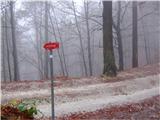 5
5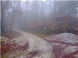 6
6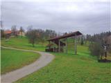 7
7 8
8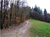 9
9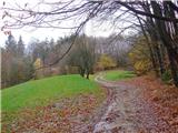 10
10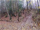 11
11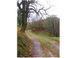 12
12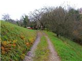 13
13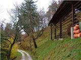 14
14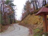 15
15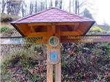 16
16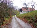 17
17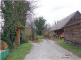 18
18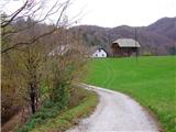 19
19 20
20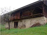 21
21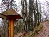 22
22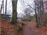 23
23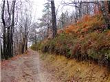 24
24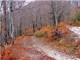 25
25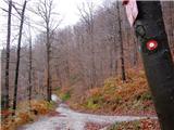 26
26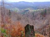 27
27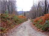 28
28 29
29 30
30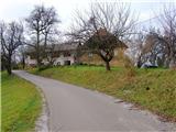 31
31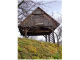 32
32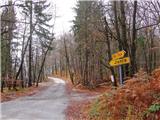 33
33 34
34 35
35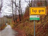 36
36 37
37 38
38 39
39 40
40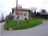 41
41 42
42 43
43 44
44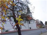 45
45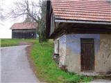 46
46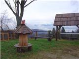 47
47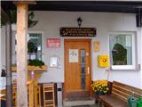 48
48
Discussion about the trail Litija - Janče (via Širmanski hrib)
|
| zdomec26. 11. 2013 |
Ta pot je zelo razgibana in po leti sencna,
To pot lahko uporabljajo samo tisti ki jo 100% poznajo.
Markacije so redke, Raspotja niso opremljena z smernimi tablami, vsaj ni vsa krizisca, tako da tisti kateri gre prvic po poti lahko ima velike tezava.
PD Litija, bilo bi zelo pohvalno da pot opremite z smernimi tablami.
|
|
|
|
| bruny26. 11. 2013 |
,,To pot lahko uporabljajo samo tisti ki jo 100% poznajo.,,. Zelo zanimivo  . To pomeni po zapisanem, kdor te poti 100% ne pozna je ne sme uporabljati in naj bo recimo doma, kot je nekdo že zapisal, leži v postelji...tam pa mu lahko pade slika na glavo. Predvidevam, da je v vsakem povprečnem bralcu teh strani tudi nekaj orientacista, izvidnika, ,,stezosledništva,,..., da eno pot iz Litije na Janče bo pa ja zmogel, kolikor toliko korektno odhoditi, tudi s pomočjo odličnega opisa s strani Žuže in poln zadovoljstva v naravi prispeti na Janče.Lp
|
|
|
|
| zdomec27. 11. 2013 |
Bruny, opravicujem se, res sem ga malo zalomil in zadevo nekoliko nerodno napisal. Zakaj se oglasam? Sredi oktobra smo na sirmanskem hribu nabirali kostanj in srecali en starejsi par iz Hrasnika kateri je sel nazaj v Litijo. Povedali so nam da na raspotju niso vedeli kam zaviti in nobenega ni bilo v blizini da bi vprasali.Toliko za pojasnilo. Seveda da vsak lahko uporablja to pot, saj je res lepa in razgledna. LP. 
|
|
|
|
| bruny27. 11. 2013 |
Ja ni problema, bo res potrebno v ta konec Slovenije enkrat, da preverim(o) kot nekateri  pravijo...Janče ,,mali biser,, med Ljubljano in Litijo. Lp
|
|
|
|
| Žuža29. 11. 2013 |
Res so Janče pravi mali biser. Pot je razgledna in ti v vseh letnih časih nudi obilo užitkov: takih za konzumirat (gozdne jagode, borvnice ...)in tistih za gledat (prelepi razgledi, zanimiva kmečka arhitektura ..). Jaz ponavadi najraje uberem dostop iz Litije in sestop v Jevnico. Res je tudi, da je pot v obratni smeri, tj. Janče-Litija, malenkost težje sledljiva, na nekaterih razpotjih bi bilo dobro dodat markacije oz. smerne table. Sicer so lani markacisti PD Litija pot obnavljali, vendar mislim, da ne v celoti, le začetni del iz Litije pa nekje do pol poti (lahko me kdo popravi, če pozna drugačne informacije). Uživajte na pot. Lp 
|
|
|
|
| bruny30. 11. 2013 |
Za poti iz večjih naselij ni neke posebne panike glede označenosti...frekvenca hoje, teka, kolesarjenja...željnih je dovolj velika, da se pot nekako ohranja. Tudi iz manjših naselij ni problem, ker kakšen domač markacist poskrbi za ustrezno označenost. Problem so vezne povezave med posameznimi hribovji, kjer naletiš na ,,čuda,, in so slabo obiskane še predvsem v mejnih delih med posameznimi društvi oziroma hribovji. Ampak to te še bolj motivira, da nekje najdeš vsaj v največji meri optimalno in natančno pot. Opažam, da je celo preveč smernih tabel, ki so večji strošek manjka pa markacij, ki so zanemarljiv strošek. No glede te poti menim, da ne bi smelo biti večjih težav iz stališča, da uradno nima razpotij planinskih poti in samo kakšna markacija na razpotjih razmere poenostavi in ni nepotrebnih iskanj oziroma vračanj. Lp
|
|
|