Starting point: Litochoro (238 m)
Time of walking: 12 h
Difficulty: very difficult marked way
Altitude difference: 2679 m
Altitude difference po putu: 2679 m
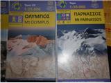
Map:
Recommended equipment (summer): helmet, lamp
Recommended equipment (winter): helmet, ice axe, crampons, lamp
Views: 2.120
 | 1 person likes this post |
Access to the starting point:
From the Thessaloniki-Athens motorway, take the exit for Litochoro.
Path description:
In Litochore, signs point north towards Prionie, 18 km by road from Litochore. We had already turned left onto the footpath that leads to Prionie through the Enipeas Canyon, passing by two tavernas, where we cross the river for the first time. We then climb up the canyon through the forest, keeping to the north side of the canyon. There is also a parallel path on the other, south side of the canyon; this coincides with the European footpath E7. The two paths merge in the second half of the canyon route; then you cross the river several times over wooden bridges. The ascent to Prionie is only 800 metres, but the path descends several times deep into the canyon, so that the difference in altitude along the route is greater by about 400 metres. The route also takes you past the old Dionysius Monastery. The walk along this path is already interesting; many hikers aim for the Enipeas Canyon itself and do not go further towards the top of Olympusa. For most hikers who also go to the summit, this is just the starting point, as they can drive to it.
From Prionia to the summit of Mitikas, it is a 6-hour uphill walk. At the beginning, the trail continues through the forest, but soon we leave the forest behind and when we reach the hut at 2100 m, the forest finally disappears. The trail is wide and easy to follow. The hut opens on 1 May; we climbed Mount Olympus at the end of April, when it was still closed. This year there was less snow than usual, so at the end of April there was only a sample of snow and it was possible to climb, but there were rather few climbers - but from the beginning to the top of Skala, where the path gets more difficult, we had an escort all the time. A dog from Litochor joined us, waited for us at Skala to do the hardest part of the route and reach the top, and then returned with us to the valley. The last half hour of the climb is very difficult and we have to use our hands all the time.
Anyone doing this route before 1 May should have everything they need in their rucksack, but the route from Skala to Mitikas requires caution and the right equipment for the conditions.

Pictures:
 1
1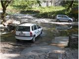 2
2 3
3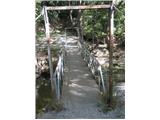 4
4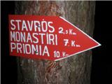 5
5 6
6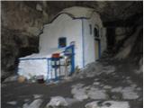 7
7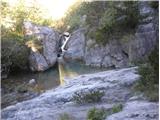 8
8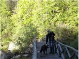 9
9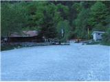 10
10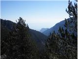 11
11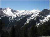 12
12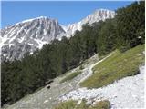 13
13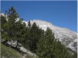 14
14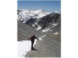 15
15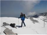 16
16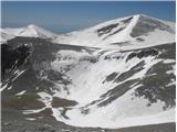 17
17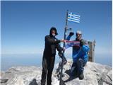 18
18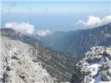 19
19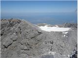 20
20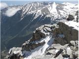 21
21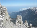 22
22 23
23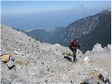 24
24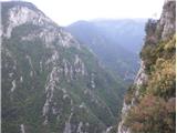 25
25 26
26
Discussion about the trail Litochoro - Mytikas