Livek - Monte Mataiur/Matajur
Starting point: Livek (692 m)
| Lat/Lon: | 46,203°N 13,5996°E |
| |
Time of walking: 3 h
Difficulty: easy marked way
Altitude difference: 950 m
Altitude difference po putu: 970 m
Map: Julijske Alpe - zahodni del 1:50.000
Recommended equipment (summer):
Recommended equipment (winter): ice axe, crampons
Views: 12.560
 | 1 person likes this post |
Access to the starting point:
a) Drive to Tolmin, then continue driving to Kobarid. When you reach Idrsko, turn left towards Livek. When you get to Livek, park at the NOB memorial and the multi-purpose building.
b) From Kobarid, drive towards Tolmin, but only as far as Idrsko, where you turn right in the direction of Livek. When you get to Livek, park at the NOB memorial and the multi-purpose building.
Path description:
From the NOB memorial, walk to the nearby crossroads, where you leave the road and continue to the right in the direction of the marked trail to Monte Mataiur (left Kolovrat, Nebesa and Livške Ravne, straight Itali and along the road to Avsa, Perati. . . ). Further on, first climb the stairs, and above the village the path turns into mostly low forest and lane of bushes. Occasionally, the slightly steeper path turns left higher up and leads to a road where it levels off. After a few more 10 steps of easy walking, you reach the Church of St Peter and Paul.
At the church, go left and quickly reach the village of Perati, where the path leads past a few houses, and after the village, continue right uphill from the crossroads. Further on, the scenic road, which runs between pastures, turns semicircularly to the left and, before the beginning of the village Avsa, leads us to a crossroads from which we continue to the right along a marked path, initially still on the road to Monte Mataiur (slightly to the left, the village of Avsa and the tourist farm Jelenov breg below Monte Mataiur, straight ahead, the parking lot above the village of Avsa and the old path).
The road quickly turns into cart track, which starts to climb moderately and leads us past several older, partly demolished bytes. Higher up, cart track leads to a footpath which climbs steeply and crosses a pasture fence. The path soon becomes level and the forest thins out, so that more and more often beautiful views of the surrounding mountains open up. After a while the path widens again into cart track, which after a few steps into the forest road, where at the crossroads continue left (right shepherd's hut on Idrska planina), and at the next crossroads go straight (right Svinska planina) and arrive at the upper part of Idrska planina, where the Konjarska guta hut stands, which is only a few steps away from the path.
Here another of several possible approaches to Mrzli vrh branches off to the left, and we go off the road shortly to the right onto a marked path, which then quickly reaches another road, where we join up with the old trail from Avsa.
Follow the road to the right and walk along it until you reach a nearby marked crossroads, where you turn right towards Monte Mataiur (straight Home to Monte Mataiure).
Further on, the path begins to climb again over a partly grassy slope, from which we can enjoy increasingly beautiful views of the surrounding mountains. Higher up, as the trail gradually passes onto the northern slopes, the trail from the village of Svino joins us from the right, and we continue towards Monte Mataiur. A few minutes of traversing and we arrive at a crossroads below Glavo, where the "Slovenian direction" continues straight ahead to Monte Mataiur and a path that leads to Visoka glava, where we continue up to the left and quickly climb to the scenic eastern ridge of Monte Mataiur, where we are joined by a path from Itali (starting point Mashera / Masseris).
Continue along the ridge, climbing gently to moderately along the Slovenian-Italian border. After a few minutes of increasingly scenic walking, we reach the Monte Mataiur summit, from where we have a fine view to the west.
Livek - Perati 0:20, Perati - Avsa 0:10, Avsa - Idrska planina 1:10, Idrska planina - Monte Mataiur 1:20.

Pictures:
 1
1 2
2 3
3 4
4 5
5 6
6 7
7 8
8 9
9 10
10 11
11 12
12 13
13 14
14 15
15 16
16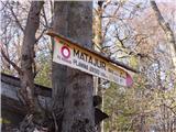 17
17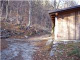 18
18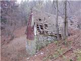 19
19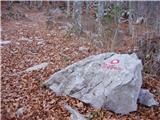 20
20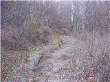 21
21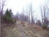 22
22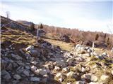 23
23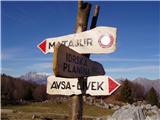 24
24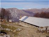 25
25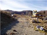 26
26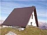 27
27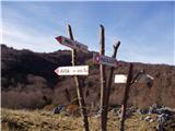 28
28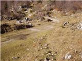 29
29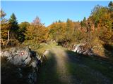 30
30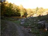 31
31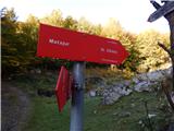 32
32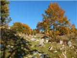 33
33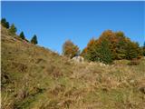 34
34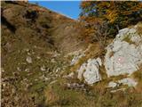 35
35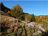 36
36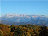 37
37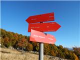 38
38 39
39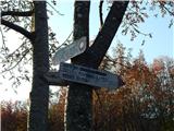 40
40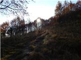 41
41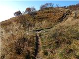 42
42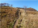 43
43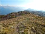 44
44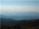 45
45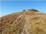 46
46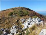 47
47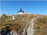 48
48 49
49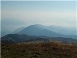 50
50
Discussion about the trail Livek - Monte Mataiur/Matajur