Ljubelj - Dom na Zelenici (via Ljubeljščica)
Starting point: Ljubelj (1058 m)
| Lat/Lon: | 46,4324°N 14,2602°E |
| |
Name of path: via Ljubeljščica
Time of walking: 2 h 50 min
Difficulty: very difficult unmarked way
Altitude difference: 478 m
Altitude difference po putu: 750 m
Map: Karavanke - osrednji del 1:50.000
Recommended equipment (summer): helmet, self belay set
Recommended equipment (winter): helmet, self belay set, ice axe, crampons
Views: 26.454
 | 1 person likes this post |
Access to the starting point:
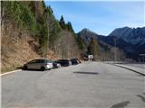
From the Ljubljana - Jesenice motorway, take the Ljubelj exit and follow the road to the border crossing. Just a few metres before the border crossing, you will see a parking lot on the right hand side.
Path description:
At the end of the parking lot, you will see the mountain signs for the Ljubelj hut, which take you up a few steps to the old Ljubelj road. Follow this road, which climbs moderately and is converted into a toboggan run in winter, all the way to the Ljubelj hut. This is reached after less than an hour's walk, with sometimes beautiful views of Loibler Baba, Veliki vrh and Begunjščica.
At the end of the parking lot, we see the mountain signs for Koča na Ljubelju, which lead us up a few steps to the old Ljubljana road. Follow this road, which climbs moderately and is converted into a toboggan run in winter, all the way to Koča na Ljubelju. This is reached after a 45-minute walk, with sometimes beautiful views of Loibler Baba, Veliki vrh and Begunjščica.
From the hut, continue left in the direction of Zelenica and Povna peča (Full Furnace). The trail continues past the hut and begins to climb immediately after it. The steepness soon gives way and the path leads us to a mostly vegetated ridge, from which we occasionally get some views. After a few more minutes, we see the Polna peč peak in front of us, which the path bypasses on its northern side on steep slopes. The path that almost encircles the peak leads us to a crossroads just a few steps below the peak. Here we continue left in the direction of Povna peči (Full Furnace) along the path which leads us in a few steps to the scenic peak (Zelenica on the right).
From Povna peć we return some 10 steps back to the last crossroads, and then continue along the ridge in the direction of Zelenica or ridge Ljubeljščica. The path continues westwards, initially following a partly woded ridge, before descending steeply along the edge of a steep grassy slope. As the path lays down, the ridge narrows and an exposed gully is crossed on the right, after which the ridge is quickly regained. There is some easy climbing, and then you reach the point where the sign says (was) the end of the safe route, and the safe route ended when you crossed the first gully.
There is a moderate descent on a crumbly exposed ridge, and then the path starts climbing again, and then it continues to climb moderately for the most part. The way forward leads us over a few more dangerous crossings, and the inscription Zelenica takes us a little further along the Slovenian side of the ridge. Once back on the ridge, the path leads to the most technically challenging part of the route, where you descend steeply using the fixed safety gear (although this part is technically the most challenging, some of the previous unprotected passages are more dangerous). You continue to walk at a moderate grade along a very scenic ridge, and then the markings for Zelenica - protected path point you to the left, crossing downhill, where you cross a shorter scree slope before you reach a short scree slope. When the scree ends, use fixed safety gear to climb steeply up the side ridge and descend the other side, also using fixed safety gear, but the descent is not particularly difficult. There is a climb up to return to the boundary ridge, followed by some more climbing up to the saddle Čez Pod, where you go left towards Peak Ljubeljščica, which you reach after a minute's further walking. From the summit, descend south to the saddle separating Ljubeljščica and Spodnji Plot, then take a sharp right (straight ahead for 2 to 3 minutes on Spodnji Plot) and start descending towards Zelenica. At a lower point the path turns slightly left and gradually flattens out. There is some easy walking to the mountain house, which, in fine weather, can be seen for some time ahead.
Ljubelj - Koča na Ljubelju 0:45, Koča na Ljubelju - Povna peč 0:30, Povna peč - Vrh Ljubeljščica 1:15, Vrh Ljubeljščica - Dom na Zelenici 0:20.
Descend the usual marked trail back to Ljubelj.

We can extend the trip to the following destinations: Dom pri izviru Završnice,
Roblekov dom na Begunjščici ( 30 min),
Celovška koča / Klagenfurter Hutte (1 h 20 min),
Spodnji Plot,
Na Možeh,
Srednji vrh (nad Završnico),
Žleb (Suho ruševje),
Srednja peč,
Svačica,
Zelenjak ( 5 min),
Palec ( 10 min),
Begunjščica,
Prešernova koča na Stolu,
Vrtača,
Stol
Pictures:
 1
1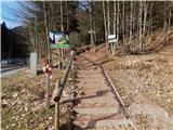 2
2 3
3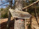 4
4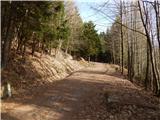 5
5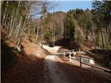 6
6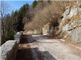 7
7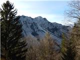 8
8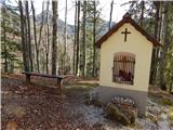 9
9 10
10 11
11 12
12 13
13 14
14 15
15 16
16 17
17 18
18 19
19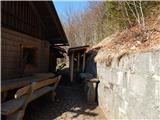 20
20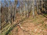 21
21 22
22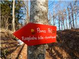 23
23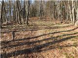 24
24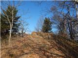 25
25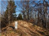 26
26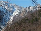 27
27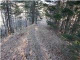 28
28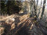 29
29 30
30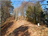 31
31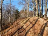 32
32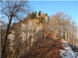 33
33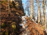 34
34 35
35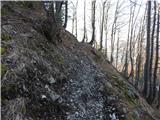 36
36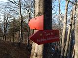 37
37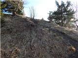 38
38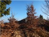 39
39 40
40 41
41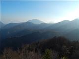 42
42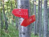 43
43 44
44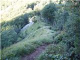 45
45 46
46 47
47 48
48 49
49 50
50 51
51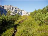 52
52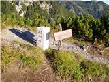 53
53 54
54 55
55 56
56 57
57 58
58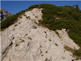 59
59 60
60 61
61 62
62 63
63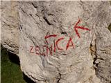 64
64 65
65 66
66 67
67 68
68 69
69 70
70 71
71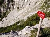 72
72 73
73 74
74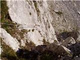 75
75 76
76 77
77 78
78 79
79 80
80 81
81 82
82 83
83 84
84 85
85 86
86 87
87 88
88 89
89 90
90 91
91 92
92 93
93 94
94 95
95 96
96 97
97 98
98 99
99
Discussion about the trail Ljubelj - Dom na Zelenici (via Ljubeljščica)
|
| Tadej20. 08. 2008 |
Včeraj sem se povzpel na Zelenico po zgoraj opisani poti. Ta izlet priporočam vsem, ki imate radi mirne in razgledne poti in ste obenem kos tudi zahtevnejšim delom. Pot je namreč na enem, sicer kratkem mestu zelo izpostavljena in strma. Varovala pa so v dobrem stanju.
|
|
|
|
| svila7. 06. 2010 |
Včeraj prehodila opisano pot v smeri od koče na Ljubelju do Zelenice, a mi je še danes tesno, ko pomislim na nekatera težavna mesta. Pot je vsekakor lepa, razgledi čudoviti, v tem času je toliko planinskega cvetja, da kar strmiš. Napis na tabli, ki označuje konec varne poti, je zbrisan in v skale prideš brez opozorila. Pot je zelo nevarna, če nisi zadosti spreten. Enostavno se nimaš česa oprijeti in kam stopiti, še posebej navzdol gre zelo težko in počasi, potrebna je velika zbranost in previdnost. Če imaš vsaj malo vrtoglavice, pot odsvetujem. Za navedeno razdaljo sva porabila slabe 3 ure. Srečala sva 2 planinca v nasprotni smeri.
|
|
|
|
| samoa7. 06. 2010 |
Tudi jaz sem hodila v soboto po tej poti.Pot se mi zdi zadosti varovana, razgled fantastičen, da ne govorim o vseh rožah, ki rastejo ob poti. No tudi gamsi se najdejo.
|
|
|
|
| svila8. 06. 2010 |
Čestitam vsem, ki to prekrasno pot zmorejo brez težav, a hkrati svarim manj izkušene (tudi takšni gremo v gore), ker so nekatera mesta res zelo težavna in nevarna. Da ne govorim o tem, da se zaradi neoznačenosti poti lahko tudi zaplezaš. Tabla o koncu varne poti ne funkcionira, ker je nečitljiva.
|
|
|
|
| Lothar10. 06. 2010 |
Danes sem se odločil za prav to pot. Bilo je zelo prijetno. Srečal nisem nobenega človeka, le nekaj živali.  Kar se tiče nevarnosti: Meni se osebno ni zdelo kaj dosti nevarno. Je pa kar nekaj takih ozkih poti (s prepadom na obeh straneh) na katerih se nimaš kam za prijet. Pa še veter rad prav na takih krajih kar močno zapiha.  Zato te poti nebi priporočil tistim s slabim ravnotežjem in/ali slabo kondicijo. Ampak saj veste koliko ste sposobni. Če ne gre, greste pa pač nazaj. Naj vas ne bo sram.  Za prvi del poti (do konca varne poti) so priporočljive tudi pohodne palice. Za zadnji, bolj zahtevni del pa palice lahko privežeš na nahrbtnik (če ga imaš). Cela pot od Ljubeljske koče pa vse do Zelenice je, kot že rečeno, nemarkirana, vendar je *zelo* težko zaiti. Sledite samo obmejnim zidakom in ne boste zašli. Če se vam pa že zgodi, da zavijete na napačno pot, greste pa vedno lahko nazaj, saj se vse te *napačne* poti kar hitro spremenijo v travo ali prepad. Če se vam to zgodi, veste, da ste zašli. 
|
|
|
|
| velkavrh23. 11. 2015 |
Bojan,krasno! Lepe slikce kot vedno.Šel sem že tu v kopnih razmerah,v takih razmerah , ko gaz še ni narejena pa si sploh ne bi drznil.Dol sem zavil pri jeklenicah na koncu poti.
|
|
|