Starting point: Ljubelj (1058 m)
| Lat/Lon: | 46,4324°N 14,2602°E |
| |
Time of walking: 1 h 45 min
Difficulty: easy unmarked way
Altitude difference: 624 m
Altitude difference po putu: 624 m
Map: Karavanke - osrednji del 1:50.000
Recommended equipment (summer):
Recommended equipment (winter): ice axe, crampons
Views: 13.503
 | 1 person likes this post |
Access to the starting point:
From the motorway Ljubljana - Jesenice, at the Podtabor fork, continue in the direction of Ljubelj and Tržič. Continue along the first expressway and then the regional road, which you follow all the way to the Ljubelj border crossing. Just before the border crossing, turn left (direction Zelenica) and then park in a large parking lot after driving for a few 10 metres.
Path description:
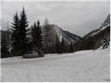
At the beginning of the parking lot, the mountain signs for Hochstuhl, Vertatscha and Dom na Zelenici direct us to the wide cart track, which begins to climb along the torrent. When the cart track turns left a little higher up, we continue straight on along the mountain path, which continues through the forest and soon returns to cart track. Cart track turns right a little higher up and leads us out of the forest onto the ski slope of the former Zelenica ski resort. There is a short, steeper climb up the ski slope, and then the path flattens out and leads us along the foot of the scree below Begunjščica.
The marked path soon branches off to the right along a service road, and we continue along the "road" to the nearby Vrtača Hut.
At the hut, the road turns right and we continue straight on towards the mountain path to Zelenica. For a short time we continue under the former single-seater Zelenica II, and then the path begins to climb steeply up the slope, which is partly overgrown by dwarf pines. After a few switchbacks, we return to the service road, which we continue along, overloking the Šentanski avalanche.
The path ahead takes you along the slopes of the Lower Plot (the summit of which was covered by a sport climbing route a few years ago), then off the road turn right onto a footpath that cuts around a long bend. Once back on the road, we are at the top station of the former Zelenica II single-seater, and it is only a few steps downhill to the Zelenica Home.
In front of the mountain lodge, the marked path to Begunjščica branches off to the left, and behind the lodge, also to the left, there is a path to Hochstuhl, Vertatscha and Završnica, and behind the lodge we continue straight on to a less visible unmarked path that climbs up an unmarked valley. A little higher, continue right (straight ahead to the saddle Čez Pod and the top of the former Triangel ski lift), cross a small spring and start climbing steeply up a grassy slope. Higher up, we reach the ridge connecting Vrh Ljubeljščice and Spodnji Plot, and we continue right towards Spodnje Plot. A few steps further on, the path climbs steeply and leads us to the top of the precipitous Lower Plot.

Pictures:
 1
1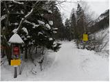 2
2 3
3 4
4 5
5 6
6 7
7 8
8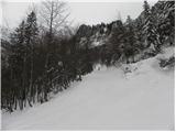 9
9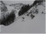 10
10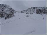 11
11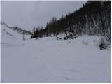 12
12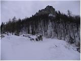 13
13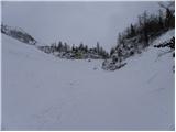 14
14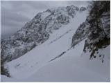 15
15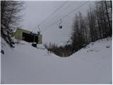 16
16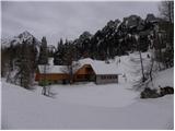 17
17 18
18 19
19 20
20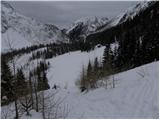 21
21 22
22 23
23 24
24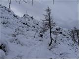 25
25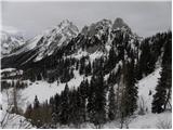 26
26 27
27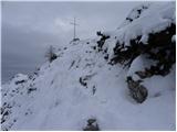 28
28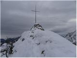 29
29
Discussion about the trail Ljubelj - Spodnji Plot
|
| andrejjerina30. 01. 2010 |
A smem vprašati, kje si dobil podatek (v kateri karti oz. kaj drugega), da se omenjeni vrh imenuje Spodnji Plot? LP Andrej
|
|
|
|
| heinz31. 01. 2010 |
Tudi na vpisni knjigi, ki se nahaja v tamkajšnji skrinjici tako piše..
Spodnji Plot je kar zanimiva točka v tistem koncu.
Zadnji delček poti bi bil lahko za kako staro mamo pre(naporen/zahteven).
|
|
|
|
| capraibex31. 01. 2010 |
Ta vrh je označen na karti Slovenske poti,oz.na karti Stol in Begunjščica v merilu 1:25000.Karta letnik 1990.Sedlo,ki loči greben na Možeh in Spodnji Plot se imenuje Čez Pod.Od tu pa do starega Ljubelja poteka Slovenska pot,ki je bila urejena leta 2007.Prva koča na Zelenici pa se je imenovala Jocifova koča.
|
|
|
|
| andrejjerina31. 01. 2010 |
Hvala za izčrpne informacije, sam sem omenjeni vrh poznal kot Triangel, ampak sedaj vem/o še nekaj več. LP Andrej
|
|
|
|
| Majdag11. 08. 2013 |
....Ni težko priti na Spodnji Plot. Paziti moraš pa tako povsod 
|
|
|
|
| Barentoter22. 09. 2015 |
Pozno popoldne po ferati na vrh. Lepo speljana ferata, na začetku mal zahtevnejši skok, potem pa uživancija do vrha. Na vrhu žal še ni žiga in vpisne knjige.
|
|
|
|
| urbancek22. 09. 2015 |
Vpisna knjiga je v skrinjici pod Križem  .
|
|
|
|
| mala paklenica15. 01. 2016 |
Koja ferrata je najteža: Spodnji plot, Češka koča ili Gonžarjeva peč?
|
|
|
|
| redbull15. 01. 2016 |
Gonžarjeva
Kratka, a daleč najtežja od drugih kaj šele od teh dveh
srečno
|
|
|
|
| klemen733. 03. 2016 |
Spodnji plot-Zelenica je precej težja od Gonžarjeve peči.
|
|
|
|
| ploha4. 01. 2017 |
Me pa res zanima katere so zahtevnejse "od teh dveh"...ne trdim za češko...Jaz še vedno mislim da je to Spodnji plot.
|
|
|
|
| lynx4. 01. 2017 |
Seveda je, njena desna varianta. Leva najbrž ne, lahko pa vsak sam preveri ocene odsekov.
|
|
|
|
| don kihott31. 01. 2017 |
Vsekakor je plot zahtevnejši saj nosi oceno E...Gonžarjeva ima oceno D/E kar pa ni čisti E!!!..
|
|
|