Ljubelj - Žerjavov Praprotnik / Loibler Prapotnik
Starting point: Ljubelj (1058 m)
| Lat/Lon: | 46,4329°N 14,2617°E |
| |
Time of walking: 2 h 30 min
Difficulty: easy pathless terrain
Altitude difference: 442 m
Altitude difference po putu: 600 m
Map: Karavanke - osrednji del 1:50.000
Recommended equipment (summer):
Recommended equipment (winter): ice axe, crampons
Views: 1.190
 | 1 person likes this post |
Access to the starting point:
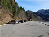
Leave the Gorenjska Motorway at the Podtabor junction, then continue to Tržič and Klagenfurt. When you reach Ljubelj, turn right before the tunnel into a large asphalt parking lot, where you park.
Path description:
From the starting point, head in the direction of Koča na Ljubelju. After a short climb, you will reach a macadam road, along which you will continue your ascent. The ascent follows a fairly steep road, which leads us over a few torrents and past a chapel and a pleasant little well with a bench. Higher up, the road makes a few more serpentines, and at the last left serpentine we get a nice view of Loibler Baba and Veliki vrh, and then we arrive at the Ljubelju Cottage.
From the hut, walk along the road to the state border, cross it, and then descend on the Austrian side to a marked crossroads a few minutes away. From the crossroads, turn right towards the marked trail to Loibler Baba / Loibler Baba and continue along the worse road. The marked trail soon turns right up the road, and we follow the deteriorating road to its end. The road ends at a nearby torrent and we find the continuation of the unmarked path on the other side. We then cross a worse path, first over the stream and then through the forest. A little further on, we reach an older clearing which offers a fine view, and at the northern end of the clearing we reach a wider cart track, which we follow in a north-westerly direction down to the nearby dirt road (this can also be reached by road if we continue straight ahead at the first marked crossroads, then right at the next two crossroads. The road route is approximately 15 minutes longer).
Follow the road to the right, then cross the road and descend to the left. Go around the nearby hunting lodge on the left and then cross the stream. There is some walking along the road, which gradually begins to climb, and we often have beautiful views of the surrounding mountains. Higher up, at a height of about 1300 m, a road branches off to the right, leading to a saddle to the north of the Brown Peć, and we continue straight ahead along a wider road. The road soon forks again, but this time we take the upper, slightly right path (the lower path leads to the saddle Oselca / Eselsattel), which we follow up to a small pass south of Žerjavov Praprotnik, where we see a cleft a little to the right of the path.
The next road junction is at the pass mentioned above, and we continue straight ahead, on the cart track, which continues between the two roads. The rather overgrown cart track soon turns right, where it briefly crosses slopes, then turns left uphill and climbs steeply to a newer forest road. Continue along the road to the first left turn, which is on an undistinguished ridge.
Leave the road at this bend and, with fine views, continue along an undistinguished ridge, walking along a trackless path. Higher up, we cross a few strips of forest, all the time accompanied by a grassy surface. After about 15 minutes of ascent from the point where we left the last road, we reach a viewpoint with a trigonometric point and a small cross on a nearby tree.
Ljubelj - Koča na Ljubelju 45 minutes, Koča na Ljubelju - Žerjavov Praprotnik 1:45.
Description and pictures refer to the situation in 2016 (December).

Pictures:
 1
1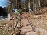 2
2 3
3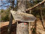 4
4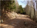 5
5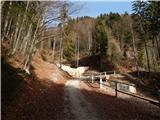 6
6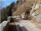 7
7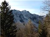 8
8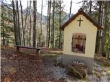 9
9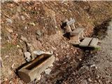 10
10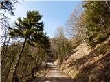 11
11 12
12 13
13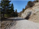 14
14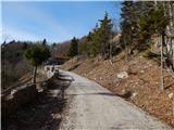 15
15 16
16 17
17 18
18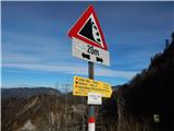 19
19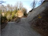 20
20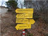 21
21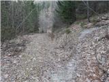 22
22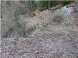 23
23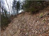 24
24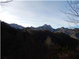 25
25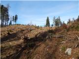 26
26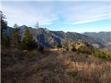 27
27 28
28 29
29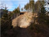 30
30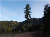 31
31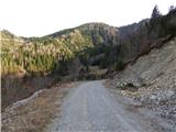 32
32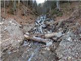 33
33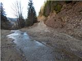 34
34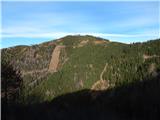 35
35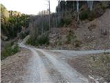 36
36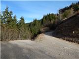 37
37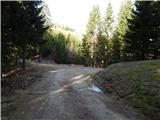 38
38 39
39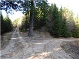 40
40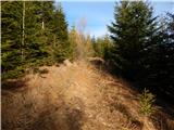 41
41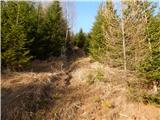 42
42 43
43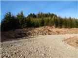 44
44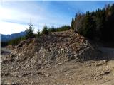 45
45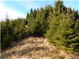 46
46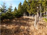 47
47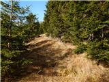 48
48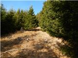 49
49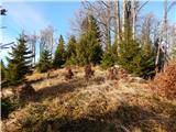 50
50 51
51 52
52 53
53
Discussion about the trail Ljubelj - Žerjavov Praprotnik / Loibler Prapotnik