Ljubljana (Bokalce) - Koča Klobuk
Starting point: Ljubljana (Bokalce) (310 m)
| Lat/Lon: | 46,0518°N 14,4467°E |
| |
Time of walking: 28 min
Difficulty: easy unmarked way
Altitude difference: 123 m
Altitude difference po putu: 130 m
Map: Ljubljana - okolica 1:50.000
Recommended equipment (summer):
Recommended equipment (winter):
Views: 3.620
 | 3 people like this post |
Access to the starting point:
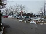
From the Ljubljana Western Bypass, take the Brdo exit, then continue in the direction of Vrhovci. Continue past the Lesno Brdo shopping centre and then reach a roundabout, from which you take the second exit. When you reach the next crossroads, turn right and park in the gravel parking lot.
Path description:
From the starting point, head towards Grič Street, where there is also a sign for a dead end. Follow the road slightly uphill to the last house, and from there continue on cart track, which goes into the forest. Follow cart track for a few minutes cross-climbing and then arriving at the wooded ridge of Utik, which is a kind of south-east ridge of Klobuk. A little further on, the signs for the hunting lodge direct us with cart track slightly to the right, to a footpath which continues to climb along and along the ridge. The path soon returns to cart track and then alternates between cart track and the footpath, at the crossroads keeping to the route which is closest to the ridge. Higher up, the path climbs slightly steeper, and then leads to the Hunting Hut at Klobuk.
Description and pictures refer to the situation in 2015 (November).
Pictures:
 1
1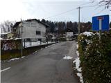 2
2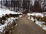 3
3 4
4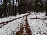 5
5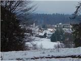 6
6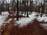 7
7 8
8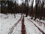 9
9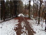 10
10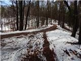 11
11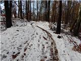 12
12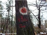 13
13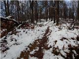 14
14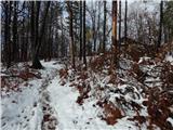 15
15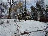 16
16 17
17
Discussion about the trail Ljubljana (Bokalce) - Koča Klobuk