Ljubljana (Gruberjeva brv) - Črni hrib (Golovec)
Starting point: Ljubljana (Gruberjeva brv) (299 m)
| Lat/Lon: | 46,0447°N 14,5175°E |
| |
Time of walking: 50 min
Difficulty: easy unmarked way
Altitude difference: 141 m
Altitude difference po putu: 141 m
Map: Ljubljana - okolica 1:50.000
Recommended equipment (summer):
Recommended equipment (winter):
Views: 634
 | 1 person likes this post |
Access to the starting point:
Drive into Ljubljana, preferably to the junction between Roška Street and Streliška Street, then park somewhere nearby. Most of the car parks in the vicinity charge a fee, except on Sundays, when most of them are free.
Path description:
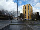
From the starting point, you will first walk to Gruber's footbridge, which is located directly at the junction of Roška Street and Streliška Street. On the other side of the Gruber Canal, you reach Hradecka Street, which you cross carefully at a marked crossing, and then climb steeply up the stairs. Higher up, you reach a steep road, which you climb up past a few more houses, and then you can continue along the road, or slightly to the left, along a parallel forest path. Higher up, the two paths merge, and then follow the road to its end near the Golovec Observatory.
From the end of the road, continue straight ahead on the wide cart track towards the Orle Inn. The folded cart track climbs steeply for a short distance, then continues without any major changes in elevation, but descends gently for the most part. A few minutes later, cross a dirt road, after which the Path of Remembrance and Comradeship is reached. Follow the path to the left, and after a few short ascents it leads to Črni hrib, which can be identified by a monument, a bench and a rubbish bin.

Pictures:
 1
1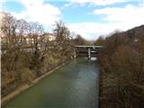 2
2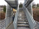 3
3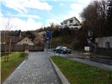 4
4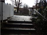 5
5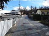 6
6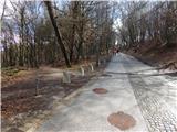 7
7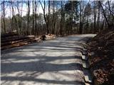 8
8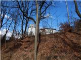 9
9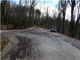 10
10 11
11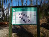 12
12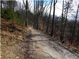 13
13 14
14 15
15 16
16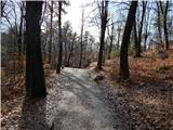 17
17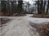 18
18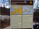 19
19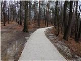 20
20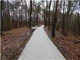 21
21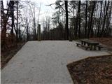 22
22
Discussion about the trail Ljubljana (Gruberjeva brv) - Črni hrib (Golovec)