Ljubljana (London) - Črni hrib (Golovec)
Starting point: Ljubljana (London) (310 m)
| Lat/Lon: | 46,0316°N 14,5351°E |
| |
Time of walking: 30 min
Difficulty: easy unmarked way
Altitude difference: 130 m
Altitude difference po putu: 135 m
Map: Ljubljana - okolica 1:50.000
Recommended equipment (summer):
Recommended equipment (winter):
Views: 4.209
 | 1 person likes this post |
Access to the starting point:
From the Ljubljana ring road, take the south exit and follow the road towards the centre of Ljubljana. At Rudnik or London, just before the Chinese restaurant, you will see a road (with a sign for the Path of Remembrance and Comradeship next to it), which will take you uphill to the right. After a few 10 m, the asphalt runs out and we park in a roadside parking lot.
Access from the centre of Ljubljana is also possible.
Path description:
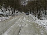
From the parking lot, continue along the dirt road, which quickly leads to a sharp left turn. Just at the beginning of the bend, we see the signs for the Path of Remembrance and Comradeship, which point us sharp right onto a wide and ascending path in the keys. After a few minutes of climbing, the path lays down and then continues on a gentle to moderate ascent. Higher up, the path approaches the forest road several times, but we continue along the same path, which soon leads us to Črni hrib (the highest point of the route).
Pictures:
 1
1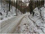 2
2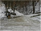 3
3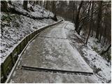 4
4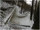 5
5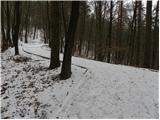 6
6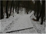 7
7 8
8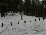 9
9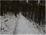 10
10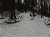 11
11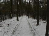 12
12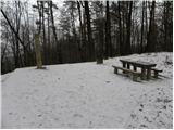 13
13
Discussion about the trail Ljubljana (London) - Črni hrib (Golovec)