Ljubljana (Spodnji Rudnik) - Orle
Starting point: Ljubljana (Spodnji Rudnik) (345 m)
| Lat/Lon: | 46,0185°N 14,5492°E |
| |
Time of walking: 40 min
Difficulty: easy marked way
Altitude difference: 113 m
Altitude difference po putu: 115 m
Map: Ljubljana - okolica 1:50.000
Recommended equipment (summer):
Recommended equipment (winter):
Views: 28.801
 | 2 people like this post |
Access to the starting point:
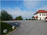
From the Ljubljana bypass, take the Ljubljana - South exit, then turn right at the junction with Dolenjska cesta towards the centre of Ljubljana. After about 300 m on Dolenjska Road, turn right (right after the bus turnaround and before the Petrol station) onto Rudnik I Street, which leads to the Church of St Simon and Judas Thaddeus in Spodnje Rudnik.
The starting point can also be reached from the route of Ljubljana city centre.
Path description:
From the parking lot, descend in a few steps to the ascending road (descend to the road that led to the starting point), and follow it along the cemetery to the crossroads, where you join the slightly wider asphalt road that leads from the Petrol petrol station at Rudnik towards Orla.
Continue along the ascending asphalt road, along which you will notice a large number of small wooden crosses and some rare markings. Higher up, the road levels out, and a slightly better marked path from Golovec joins us on the left. The way forward leads us past the trestle and the picnic area, and then we soon arrive in the municipality of Škofljica. A short walk follows, and then at a small crossroads at the beginning of the Orle settlement, we continue left towards the nearby Orle inn, which offers a nice view.
Pictures:
 1
1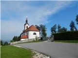 2
2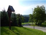 3
3 4
4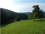 5
5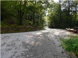 6
6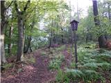 7
7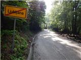 8
8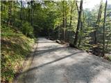 9
9 10
10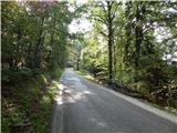 11
11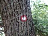 12
12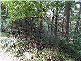 13
13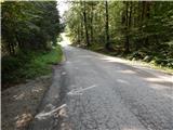 14
14 15
15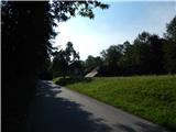 16
16 17
17 18
18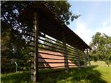 19
19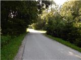 20
20 21
21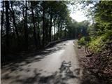 22
22 23
23 24
24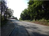 25
25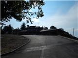 26
26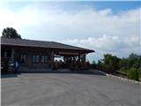 27
27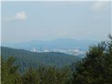 28
28
Discussion about the trail Ljubljana (Spodnji Rudnik) - Orle
|
| bruny7. 08. 2014 |
Zanima me kaj!? je v omreženem delu na sliki št.13. Nimam prave predstave, kaj bi lahko bilo. Pred mrežo na tleh je očitno tudi izgubljena avtomobilska tablica. Lp in hvala za odgovor.
|
|
|