Ljubljana (Zalog) - Debenji vrh
Starting point: Ljubljana (Zalog) (276 m)
| Lat/Lon: | 46,0632°N 14,6245°E |
| |
Time of walking: 45 min
Difficulty: easy marked way
Altitude difference: 254 m
Altitude difference po putu: 280 m
Map: Ljubljana - okolica 1:50.000
Recommended equipment (summer):
Recommended equipment (winter):
Views: 41.221
 | 2 people like this post |
Access to the starting point:
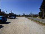
From the Ljubljana Eastern Bypass, take the Ljubljana - East exit and continue along Zaloška Road towards Zaloga. Continue along the main road, and then, just 300 metres after crossing the Ljubljanica River, park in the gravel parking lot next to the railway line.
Path description:
From the parking lot, head to the underpass under the railway line, above which are the signs "Debni vrh, Stari grad and Pečar". Immediately after the underpass, continue left and after a short cross-climb the path leads to a crossroads by a small stream. Both paths lead towards Debni vrh and cross again at a slightly higher altitude.
If you continue on the right path, which is slightly less steep, you first climb steeply along the stream, and then the path turns to the right. The path becomes less steep and quickly leads to a left turn where the "Hard variant" to Debni vrh branches off to the right.
We continue to the left on the less steep path, parallel to the stream, which is located to the left below us. The path then turns to the left and after a cross-climb we cross the above-mentioned slightly steeper path. The path then becomes slightly steeper and turns slowly to the right. The rather steep path then continues to climb through the forest and merges with the above-mentioned path at a higher level. This is followed by a shorter climb and the path leads us to a side wooded ridge where there is a crossroads. There is also a bench at the crossroads.
The path from Podhrad joins us from the left, and the Ostrovrharjeva hiking trail continues to the left towards the old Osterberg Castle. We turn right at the crossroads and continue our ascent along and along the ridge of Kašeljski Hill. The trail then runs along the eastern slopes for some time and soon leads us to the ridge where the above-mentioned "Hard Variant" joins us from the right.
The path continues along the wooded ridge and ascends and descends gently a few times. Occasionally, a small view opens up through the forest, especially in the direction of Ljubljana. We continue along the ridge and the path from the old Osterberg Castle joins us from the left. There is a slightly steeper climb where you will see a cross or chapel in a hollow tree trunk along the way. The path then leads to the top, in the middle of which stands a wooden lookout tower.

Pictures:
 1
1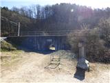 2
2 3
3 4
4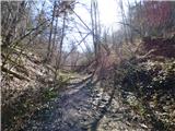 5
5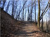 6
6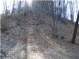 7
7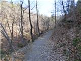 8
8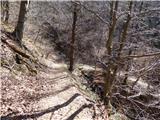 9
9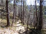 10
10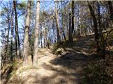 11
11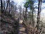 12
12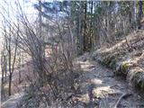 13
13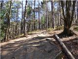 14
14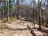 15
15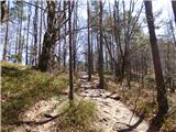 16
16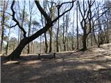 17
17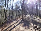 18
18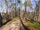 19
19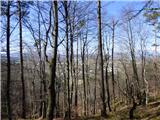 20
20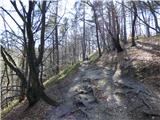 21
21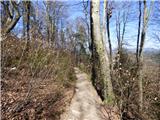 22
22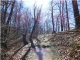 23
23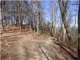 24
24 25
25 26
26 27
27 28
28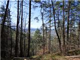 29
29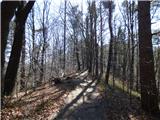 30
30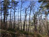 31
31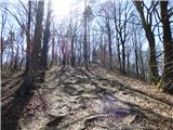 32
32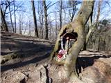 33
33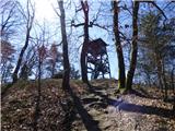 34
34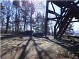 35
35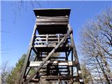 36
36 37
37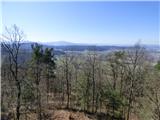 38
38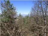 39
39 40
40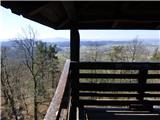 41
41
Discussion about the trail Ljubljana (Zalog) - Debenji vrh
|
| slavko30. 09. 2012 |
Zaradi številnih poti, ki se prepletajo bi bilo lahko bolje označeno. Sicer pa ...jurčki so!
|
|
|
|
| non19. 06. 2016 |
Živjo, če si bila 17.6. na Kamniškem vrhu, me prosim pokontaktiraj na nonsly(at)gmail.com. 
|
|
|