Starting point: Log (375 m)
| Lat/Lon: | 46,53435°N 15,5436°E |
| |
Time of walking: 2 h 40 min
Difficulty: easy marked way
Altitude difference: 807 m
Altitude difference po putu: 815 m
Map: Pohorje 1:50.000
Recommended equipment (summer):
Recommended equipment (winter): ice axe, crampons
Views: 162
 | 1 person likes this post |
Access to the starting point:
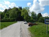
From the road Maribor - Ruše, in the village Bistrica ob Dravi, turn left (right from the route of Ruše) towards Log. Continue through Log, and at the end of the settlement, at the junction of several roads, park in a suitable place by the bus station.
Park in such a way as not to obstruct traffic or the bus.
Path description:
From the starting point, take the road slightly to the right, with markings along the way (to the left the road to Pečki, to the right part of the village of Log). Follow the road for a short distance, then before a few houses, continue left into the forest, where you initially climb steeply. Walk along a small ridge, then get on the road, which you follow for a few 10 steps, then go left into the forest, where the path continues. A little further on, cross the road once more, then start climbing steeply up the gradually steeper forested ridge. Higher up, the path becomes very steep and, especially in the wet, dangerous to slip on for a few minutes. Above the steepest part, the path gradually lays down and leads us a little further to a meadow, along the edge of which we continue. A few minutes of moderate climbing follows and we arrive at Doma na Pečkah.
From Dom na Pečkah, we climb over a short scenic section to the edge of the forest, where the path splits. Continue on the slightly left path in the direction of Mariborska koča and the Lookout Tower (the slightly right path leads to Ruška koča na Arehu), which turns into the forest. Climb moderately to occasionally steeply through the forest, crossing a few forest roads as you climb. Higher up, there are a few more connecting ski tracks, and at all crossroads we follow the signs for Mariborska koča (in between, the path to the lookout tower branches off twice).
Higher up, we reach a ridge and a dirt road and the crossroads of several paths or roads.
Continue along the leftmost road towards the lookout tower and the Bellevue Hotel (the slightly left-hand road leads to the fenced area with the radar tower, straight ahead to Mariborska koča, and the right-hand road is marked to Ruška koča na Arehu), climbing gently to moderately, and continue along it to the highest point, where there is a nondescript peak, identifiable by its radar transmitter.
The description and images refer to the situation in May and November 2022.

Pictures:
 1
1 2
2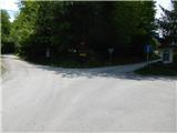 3
3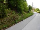 4
4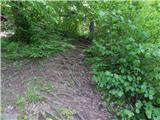 5
5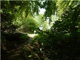 6
6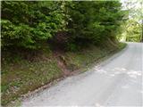 7
7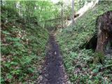 8
8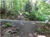 9
9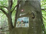 10
10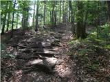 11
11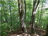 12
12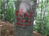 13
13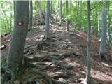 14
14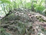 15
15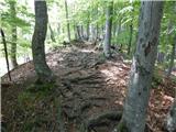 16
16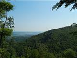 17
17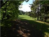 18
18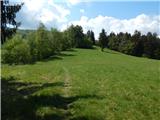 19
19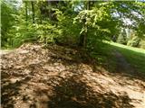 20
20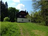 21
21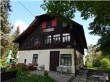 22
22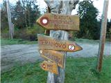 23
23 24
24 25
25 26
26 27
27 28
28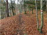 29
29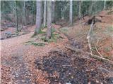 30
30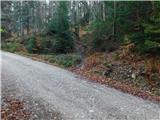 31
31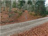 32
32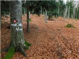 33
33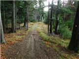 34
34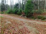 35
35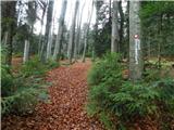 36
36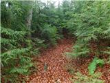 37
37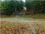 38
38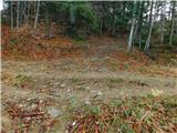 39
39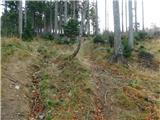 40
40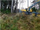 41
41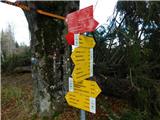 42
42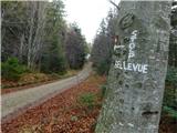 43
43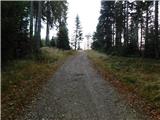 44
44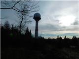 45
45 46
46
Discussion about the trail Log - Ledinekov kogel