Log v Trenti - Velika Glava (via Trebiški dol)
Starting point: Log v Trenti (631 m)
| Lat/Lon: | 46,37736°N 13,74951°E |
| |
Name of path: via Trebiški dol
Time of walking: 4 h
Difficulty: easy marked way, easy unmarked way
Altitude difference: 1252 m
Altitude difference po putu: 1255 m
Map: TNP 1:50.000
Recommended equipment (summer):
Recommended equipment (winter): ice axe, crampons, lamp
Views: 1.350
 | 4 people like this post |
Access to the starting point:
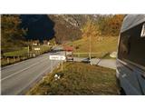
From the route of Bovec towards Trenta. A little before Logo in Trenta park at the sign for mountain pasture Lepocz.
Path description:
From Logo to Trenta follow the road towards mountain pasture Lepoche. At the forks follow the signs for Zasavska koča na Prehodavcih past the last cottage on the left. Continue to mountain pasture Lepoche, which is basically a small spruce-covered plain. From here the track climbs zigzag to a small house in Trebišski dol. Just about 50 m further on, turn left between two stones with cairns into a grassy bank. Follow the faintly visible path uphill, where, just below the top, you will come across a small well under a stone, where chamois are watering. From here it is about 15 minutes to the military buildings. At the buildings, bear right along a faint path between dwarf pines to get to the top.
From here you can see Prehodavci, Lepo Špičje and Čisti vrh.
Pictures:
 1
1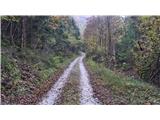 2
2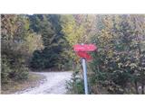 3
3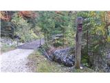 4
4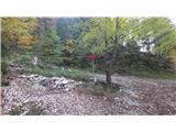 5
5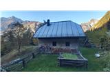 6
6 7
7 8
8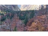 9
9 10
10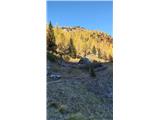 11
11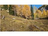 12
12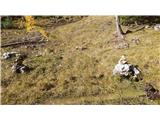 13
13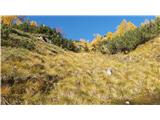 14
14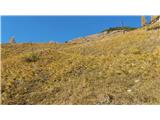 15
15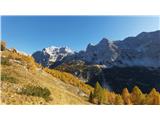 16
16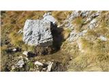 17
17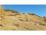 18
18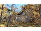 19
19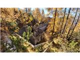 20
20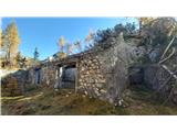 21
21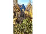 22
22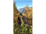 23
23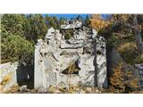 24
24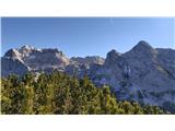 25
25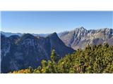 26
26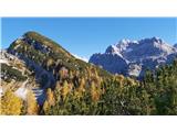 27
27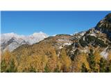 28
28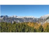 29
29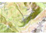 30
30
Discussion about the trail Log v Trenti - Velika Glava (via Trebiški dol)
|
| darinka416. 11. 2021 17:42:55 |
Smo šli letos avgusta po tej poti. Niti nismo imeli težav s sledljivostjo poti. Od ostankov vojašnic pa je bila vidna stezica. Veliko planik je bilo ob stezi. Zanimiva pot. Morda še kdaj gremo po njej. Sestopili pa smo po običajni poti na sedlo Dol in po poti v Trento.
|
|
|