Logatec (Gorenja vas) - Šenčurjev vrh (via Žibrše)
Starting point: Logatec (Gorenja vas) (508 m)
| Lat/Lon: | 45,9072°N 14,2005°E |
| |
Name of path: via Žibrše
Time of walking: 1 h 30 min
Difficulty: easy unmarked way
Altitude difference: 217 m
Altitude difference po putu: 240 m
Map:
Recommended equipment (summer):
Recommended equipment (winter):
Views: 4.057
 | 1 person likes this post |
Access to the starting point:
a) From the motorway Ljubljana - Koper take the exit Logatec, then continue driving to the old road Logatec - Postojna, which you follow in the direction of Postojna and Tolmin. Before Logatec ends, you will see a road branch to the nearby cemetery on the right. Take the road and after a few 10 metres park in the cemetery's parking lot.
b) From Žiri or Vrhnika, drive to Logatec and from there continue in the direction of Postojna and Tolmin. Before Logatec ends, you will see a road branch to the nearby cemetery on your right. Take the road and after a few 10 metres park in the cemetery's parking lot.
c) From Idrija or Črni Vrh, drive to Godovič and from there continue towards Logatec. At Kalce we join the road from Cola, and a little further on we arrive at Logatec, where we turn left (the exit to the cemetery from this direction is not marked) towards the nearby cemetery and park there.
Path description:
From the cemetery parking lot, continue along the road, and when you reach the houses, turn right at the junction with the stop sign. The path ahead leads past a sign, then over a bridge over the Black Brook to the next stop sign. This time continue left along the main road towards Žibrše, where you will first pass the Smolevec quarry in Logatec on the right, and then pass a drinking water trough (the water is closed in winter) to reach the Reka reservoir in Logatec. A little further on from the embankment, you reach the next crossroads, where you continue slightly left in the direction of the Open Door Farm Pr Tumlet.
From the crossroads onwards, the road starts to climb steeply and quickly takes us to the first houses in Žibrše. Shortly before the next hamlet, the road splits into two parts, and we continue along the asphalt road on the right. Above the hamlet, the asphalt ends, and the road leads us through sometimes scenic partly grassy slopes or meadows. After a few minutes, the road becomes asphalted again and leads us to the central part of the village Žibrše, where the fire station and the home of the Žibrše villagers are located. Further on, the asphalt road turns left, and we continue straight up a slightly worse macadam road, which climbs gently to moderately. Higher up, the road becomes even more level, and we will notice a bench and a viewing platform on the right side, a few metres away from the road, which is located on Šenčurje Peak.
Description and pictures refer to the situation in 2014 (December).

Pictures:
 1
1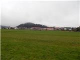 2
2 3
3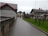 4
4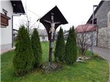 5
5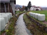 6
6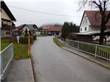 7
7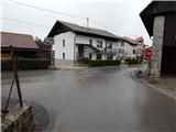 8
8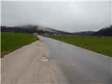 9
9 10
10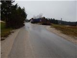 11
11 12
12 13
13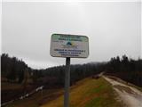 14
14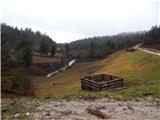 15
15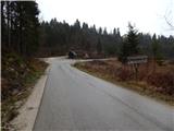 16
16 17
17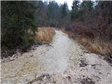 18
18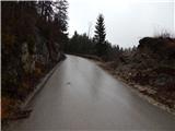 19
19 20
20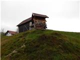 21
21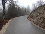 22
22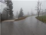 23
23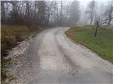 24
24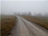 25
25 26
26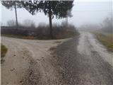 27
27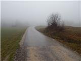 28
28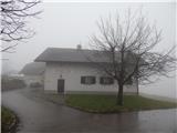 29
29 30
30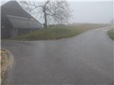 31
31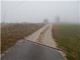 32
32 33
33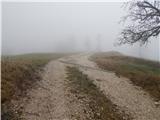 34
34 35
35 36
36 37
37 38
38 39
39 40
40
Discussion about the trail Logatec (Gorenja vas) - Šenčurjev vrh (via Žibrše)