Loka - Rašica (Vrh Staneta Kosca)
Starting point: Loka (304 m)
| Lat/Lon: | 46,1489°N 14,5511°E |
| |
Time of walking: 1 h 20 min
Difficulty: easy marked way
Altitude difference: 337 m
Altitude difference po putu: 360 m
Map: Ljubljana - okolica 1:50.000
Recommended equipment (summer):
Recommended equipment (winter):
Views: 11.123
 | 1 person likes this post |
Access to the starting point:
From the road Trzin - Kamnik, at Loka, take the local road in the direction of Loka and Doben. Continue through Loka, following the signs for Dobena at the crossroads. Continue through a few more fields and then the road turns into a forest. When the fields end, you will see some suitable places on the left side of the road where you can leave your car.
Path description:
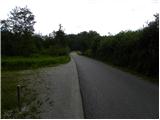
From the starting point, continue along the asphalt road, which quickly turns into a dense forest and starts to climb more visibly. Soon, however, we will notice signs for the footpath on Dobeno along the road, which will direct us to the right to a path that begins to climb through the forest. Continue the ascent on the unmarked track, which you follow to the left at the crossroads. After about 10 minutes of climbing through the forest, we return to the road and follow it to the beginning of the village Dobeno and beyond. The road leads us past a water trough and past a few houses to a marked crossroads, where the marked path from Jablje Castle joins us on the left.
From the Ručigaj Inn, which is located at the marked crossroads, continue straight ahead and climb the road, taking in the increasingly beautiful views of the surrounding area. Higher up, the marked path crosses the road a few times and then leads to the Dobeno hram inn.
From here we continue along the "main" road for a while, then we reach a large parking lot, next to which there is a bench and a chapel.
From the parking lot, follow the asphalt road as it ascends, and at the junctions follow it towards the Doma na Rašica. With fine views of Posavsko hribovje and partly also of Kamnik Savinja Alps, we quickly reach a hamlet where the mountain direction signs for Dom na Rašica direct us to the right to the initially wide cart track. Here the path turns into a forest, and we carefully follow the signs at the crossroads so as not to miss the right path in the maze of dirt tracks and paths. Higher up, the wide track descends gently and then begins a moderate climb towards the Lodge on Rašica, which is reached after a few minutes of further walking.
From the house, continue along the winding path towards the lookout tower, which is reached after a further minute's walk. For a nice view, it is worth climbing the 17 m high lookout tower.

Pictures:
 1
1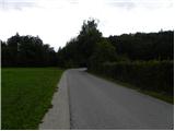 2
2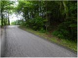 3
3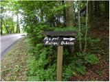 4
4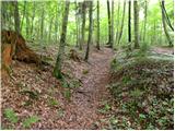 5
5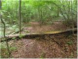 6
6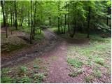 7
7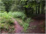 8
8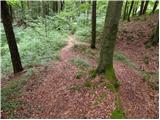 9
9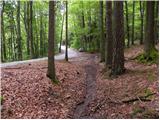 10
10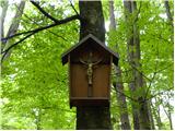 11
11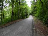 12
12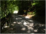 13
13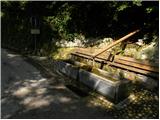 14
14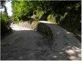 15
15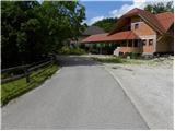 16
16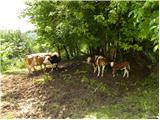 17
17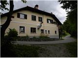 18
18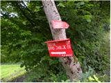 19
19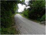 20
20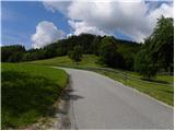 21
21 22
22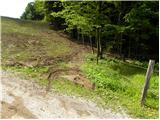 23
23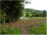 24
24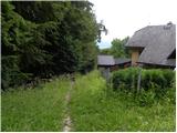 25
25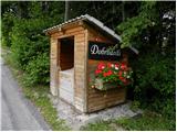 26
26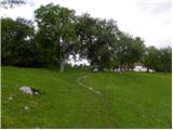 27
27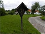 28
28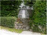 29
29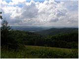 30
30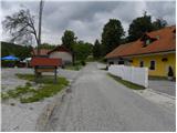 31
31 32
32 33
33 34
34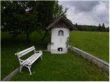 35
35 36
36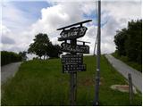 37
37 38
38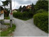 39
39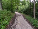 40
40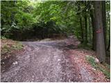 41
41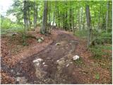 42
42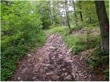 43
43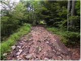 44
44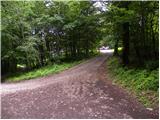 45
45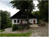 46
46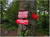 47
47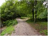 48
48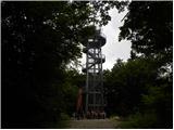 49
49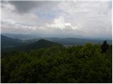 50
50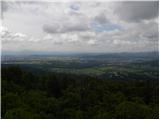 51
51
Discussion about the trail Loka - Rašica (Vrh Staneta Kosca)