Loke - Zajčeva koča (via Krvavica)
Starting point: Loke (400 m)
| Lat/Lon: | 46,2072°N 14,9913°E |
| |
Name of path: via Krvavica
Time of walking: 1 h 45 min
Difficulty: partly demanding marked way
Altitude difference: 342 m
Altitude difference po putu: 530 m
Map: Posavsko hribovje - zahodni del 1:50.000
Recommended equipment (summer): helmet
Recommended equipment (winter): helmet, ice axe, crampons
Views: 5.954
 | 1 person likes this post |
Access to the starting point:
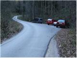
a) From the Ljubljana - Maribor motorway, take the Vransko exit and continue along the parallel old road towards Celje. Drive along the main road for a few kilometres, then signs for Tabor and Ojstriška vas point you to the right. Continue through Ojstriška vas to Tabor, and from there continue towards the village of Loke. In Loke you will come to a crossroads where you continue straight on (left Zajčeva koča) and follow the road to the next crossroads, which is after the village of Loke. Here, continue straight ahead (slightly left) in the direction of "Presedle" and follow the road to a parking area on the right side of the road, at which you will see mountain signs for Krvavica.
b) From the motorway Maribor - Ljubljana, take the exit Šentrupert and then continue along the parallel old road towards Trojany. Follow the main road for a few kilometres and then follow the signs for Tabor and Ojstriška vas to the left. Continue through Ojstriška vas to Tabor, and from there continue towards the village of Loke. In Loke you will come to a crossroads where you continue straight on (left Zajčeva koča) and follow the road to the next crossroads, which is after the village of Loke. Here, continue straight ahead (slightly left) in the direction of "Presedle" and follow the road to a parking area on the right side of the road, at which you will see mountain signs for Krvavica.
Path description:
From the parking lot, cross the road and follow the marked path towards Krvavica. The trail goes into the forest from the very beginning and starts to climb quite steeply. Higher up, the steepness eases a little and the path turns sharp left at a signpost (walk along the path for rare bird species nesting). The path then starts to climb steeply again and after a few minutes of further walking leads to an undistinguished side ridge where it turns to the right. We continue to climb through the forest on a path that leads us higher up to a very steep slope. The steepness eases for a short time as the path leads us along an exposed and often muddy shelf. A steep climb follows up a grassy slope overgrown by a sparse forest. At the top of this steep section, which is a slip hazard in wet conditions, the path leads to a natural window through which a protected mountain path is routed. With the help of crampons and a rope, we climb to the top of the window, followed by another 10 steps of walking on a steep grassy slope. The steepness then gives way and the path, which continues through the forest, soon leads us to the top of Krvavica.
From the top of Krvavice, we begin to descend steeply down a slightly exposed slope, and then the path leads us under the cliffs, from which we have a beautiful view. The path then enters the forest and descends to the nearby forest road, which is followed to the left (straight Čemšeniška mountain pasture, right Loke - follow the road and the Presedlje preval). Follow the road down to the first left-hand bend, and from there continue slightly to the right on the marked footpath, which continues through the forest with a few short ascents and descents. After a few minutes, join the cart track, which then quickly descends to Zajčeva hut.

Pictures:
 1
1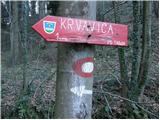 2
2 3
3 4
4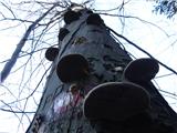 5
5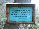 6
6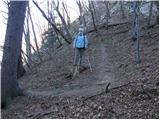 7
7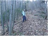 8
8 9
9 10
10 11
11 12
12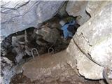 13
13 14
14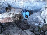 15
15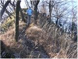 16
16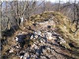 17
17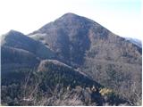 18
18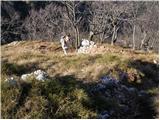 19
19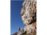 20
20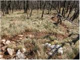 21
21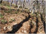 22
22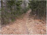 23
23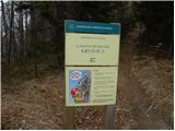 24
24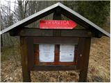 25
25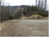 26
26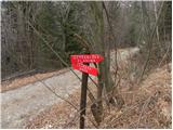 27
27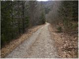 28
28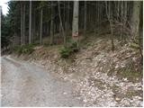 29
29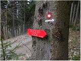 30
30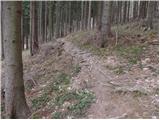 31
31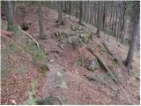 32
32 33
33 34
34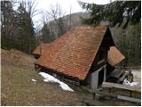 35
35
Discussion about the trail Loke - Zajčeva koča (via Krvavica)
|
| gorskarozica27. 05. 2012 |
Vse pohvale oskrbniku koče dne, 27. 5. 2012, naj tak tudi ostane! Prijazen in dostopen fant, z nasvetom in razlago pomaga pohodnikom! Čestitam! 
|
|
|
|
| radegunda15. 05. 2015 |
Pri povratku mimo Zabrložnika: ali obstaja do parkirnega mesta prehodna bližnjica levo od zapuščene kmetije Šekovar ?
|
|
|
|
| nincokl15. 05. 2015 |
Radegunda... Takoj za kočo kreneš levo in po vidni potki se spustiš do grabna in potem po grabnu vse do parkirišča če dobro gledaš je steza še kar vidna in lahko sledljiva...najbližja pot do izhodišča.
|
|
|
|
| radegunda16. 05. 2015 |
Kaj ni ta pot po Tesnem grabnu izredno zaraščena in polna klopov? Ravno zaradi tega. V najslabšem primeru bomo šli pač mimo Zabrložnika vse do Lok in po cesti nazaj.
|
|
|
|
| ben17. 05. 2015 |
Res je, pot po samem grabnu je zaraščena in po njej je bolje v času ne ravno najbolj bujnega rastja. Sicer pa svetujem, da se potem, ko prideš do grabna ne spustiš kar takoj po grabnu navzdol ampak ga prečiš in na drugi strani desno do ceste. Tam so še markacije stare poti in nadaljuješ naprej po cesti (ignoriraš odcep desno proti grabnu) in pri markaciji na skali nadaljuješ po vidni poti dol proti grabnu (na drevesu je tudi lesena puščica). Kakšne tri tedne nazaj vsaj na meni še ni bilo klopov.  LP B
|
|
|
|
| ob potoku10. 09. 2023 16:06:43 |
Super pot za malo "noge pretegnit",razgibana.Škoda,da na koči ni mogoče kupiti kakšnega posladka.Je pa malo moteče.da so si domačini tam v kar lepem številu pripravili piknik,tega nekako na planinskih domovih nismo vajeni.Kljub temu da gre za nižje ležeči dom se pohodnik potem počuti nekako tuje.
|
|
|