Starting point: Lokev (439 m)
| Lat/Lon: | 45,665°N 13,9216°E |
| |
Time of walking: 45 min
Difficulty: easy marked way
Altitude difference: 164 m
Altitude difference po putu: 164 m
Map: Slovenska Istra - Čičarija, Brkini in Kras 1:50.000
Recommended equipment (summer):
Recommended equipment (winter):
Views: 7.085
 | 1 person likes this post |
Access to the starting point:
From the motorway Ljubljana - Koper take the exit Divača and follow the road towards the villages Lokev and Lipica. The road then quickly leads to the village of Lokev, where at the end of the road you will come to a crossroads where the road to the right branches off towards the Vilenica cave. Take this road and you will soon see signs directing you to the right to the upper part of the village, which is the starting point for our tour. There are no suitable parking places at the point where the marked path leaves the road (park above or below the village).
Path description:
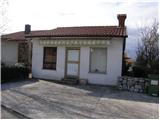
The marked trail leaves the road at the Lenka florist or candle maker. The waymarked path first passes the candle shop and then continues along cart track surrounded by shrubs. The folded cart track leads us after a good 10 minutes' walk to a well-marked crossroads, where we continue to the right in the direction of Stari tabor and the village of Povir (straight ahead to Vilenica Cave and Lipica) along the cart track, which goes into the forest and climbs gently further. The well-marked cart track, which has a few small forks, turns into a pleasant footpath higher up. This path, which becomes slightly steeper, is joined by the path from the village of Povir just a few metres below the summit. Continue to the right and, in a few steps, pass the cribs (where they exist) and climb to the top of the peak.
We can extend the trip to the following destinations: Stari tabor
Pictures:
 1
1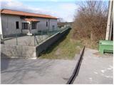 2
2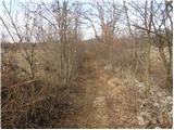 3
3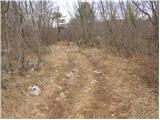 4
4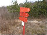 5
5 6
6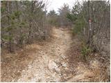 7
7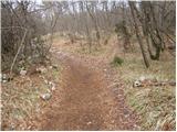 8
8 9
9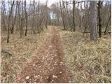 10
10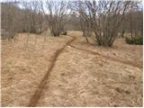 11
11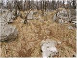 12
12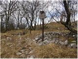 13
13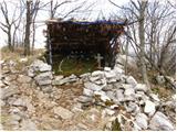 14
14 15
15
Discussion about the trail Lokev - Stari tabor