Starting point: Lokve (1060 m)
| Lat/Lon: | 46,016°N 13,805°E |
| |
Time of walking: 1 h 30 min
Difficulty: easy marked way
Altitude difference: 239 m
Altitude difference po putu: 350 m
Map: Goriška 1:50.000
Recommended equipment (summer):
Recommended equipment (winter): ice axe, crampons
Views: 32.466
 | 1 person likes this post |
Access to the starting point:
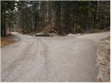
First, drive to Lokve (to get here from Nova Gorica, Most na Soči or Predmeja), then continue driving towards the village of Lazna. After a short climb, the road leads to a crossroads where the road to Poldanovac branches off to the right. Park in the parking lot close to the crossroads.
Path description:
From the parking lot, follow the macadam road towards Poldanovac. After a few steps, the road starts to climb and crosses a ramp, leading to a crossroads.
Continue straight ahead (left Stanov rob) along the marked road, which climbs higher and turns slightly to the left. The road then begins to descend gently and leads us just a little further on to a slightly larger levelling, from which we can already see through the treetops towards our destination. Continue along the road, which turns to the right and after a few minutes of gentle descent leads us to a beautifully marked crossroads at which there is a sign with an outline of the route.
Continue along the left-hand road (the right-hand path is slightly longer), which bypasses the Mojska Draga on the left (the temperature change is clearly visible in the valley). The road, which descends crosswise, leads us after a few more minutes of walking to a sharp right-hand bend, in the middle of which we are joined by the marked path from the village of Lazna on the left.
Continue along the road, from which a marked path soon branches off to the left, leading to Poldanovec. From the point where we left the road, the mountain path climbs steeply for a short time and leads us to the main ridge of Govce (Govce are steep precipitous slopes that descend steeply towards the Gorenje Trebusa valley). On the ridge the path turns right and continues with a few short ascents and descents to the foot of Poldanovec, where you also step onto the wide but steep cart track.
Next, climb cross-country, following the cart track, which is visible from a distance, but which is followed only as far as the viewpoint at the back. Here, a marked path leads to the left, up the moderately steep summit slopes of the mountain, which, in less than 5 minutes of further walking, leads to a very scenic summit.

Pictures:
 1
1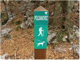 2
2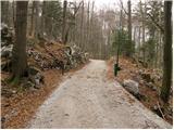 3
3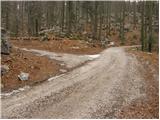 4
4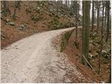 5
5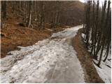 6
6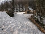 7
7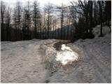 8
8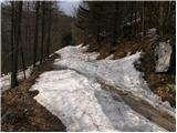 9
9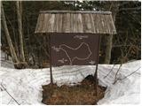 10
10 11
11 12
12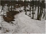 13
13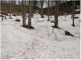 14
14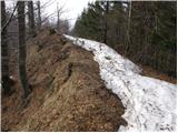 15
15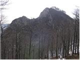 16
16 17
17 18
18 19
19 20
20 21
21
Discussion about the trail Lokve - Poldanovec
|
| boma15. 03. 2015 |
Ta čas hoje je napisan za štart od parkirišča pri sliki 7.Če greste iz Lokev je potrebno računati na 2.30h
|
|
|
|
| Bam30. 06. 2015 |
Ali na Poldanovec vodi tudi kakšno brezpotje?
|
|
|
|
| miri30. 06. 2015 |
Brezpotje ravno ni,vendar poskusi iz G.Trebuše.
|
|
|
|
| jurijsobat2net25. 07. 2016 |
O poti iz Gorenje Trebuše malo poguglaj pod "Poldanovec (1299 m) - Razglednik Trnovskega gozda" in si preberi članek Anke Vončina ter najin komentar o stanju poti na dan 20. julija 2016. Brezpotij pa je vedno, kolikor hočeš.
|
|
|
|
| Zvonček6. 04. 2017 |
V tem mesecu nameravamo prehoditi pot Lokve-Stanov rob-Poldanovec-Lokve. Zanima nas, kako je s potjo od Stanovega roba do Poldanovca. Hvala v naprej za vsak komentar.
|
|
|
|
| aditaker20. 05. 2018 |
Pozdravljeni jaz bi vprašal, če je žig na Poldanovcu in na Stanovem robu ker bi ga potrebovali za našo planinsko izkaznico? In kje se žiga nahajata?
|
|
|
|
| Zvonček21. 05. 2018 |
Na Poldanovcu je žig, na Stanovem robu ga ni.
|
|
|