Starting point: Loščica (660 m)
| Lat/Lon: | 45,6814°N 14,0467°E |
| |
Time of walking: 1 h 15 min
Difficulty: easy marked way
Altitude difference: 367 m
Altitude difference po putu: 375 m
Map:
Recommended equipment (summer):
Recommended equipment (winter): ice axe, crampons
Views: 49.145
 | 3 people like this post |
Access to the starting point:
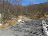
a) From the motorway Koper - Ljubljana, take the exit Divača, then continue driving towards Divača. Before Divača, turn right towards Dolnje Ležeče, and we continue from there. Just a few metres before we reach the crossroads where the road to the village Goriče pri Famljah branches off to the right, we turn left towards Vremščićica. At the next crossroads, which we reach after only a few metres, turn left again. The road then leads to the other side of the railway line, and we continue along the road for about 3. 5 km, or until a short steep road branches off to the left, at which point we see signs for Vremščica. Take the road and then park in a suitable place after a few 10 m.
b) From the motorway Ljubljana - Koper take the exit Postojna and follow the road towards Pivka and Ilirska Bistrica. Shortly after the Military History Park in Pivka, the road turns off to the right towards Kal, Neverke, Volče and Divača. Take the road mentioned above and follow it towards Divača. After about 12 km drive from the town, when we have left the main road Pivka - Ilirska Bistrica, we will come to a small crossroads where a short steep road branches off to the right, along which we can see signs for Vremščica. Take the road and park in a suitable place after a few 10 m.
Path description:
From the parking lot, walk along the road to the old wagon converted into a bivouac, where it turns into cart track. Continue on the marked cart track, which climbs moderately through low forest. There are a few small forks higher up, but if you follow the markings carefully, there are no major problems with orientation. After a while, the forest thins out and the increasingly scenic route leads to a crossroads where you join the route from Matavun (Škocjanske jame).
Here we continue straight or slightly right along the less distinct cart track, which gradually turns into a forest and turns into a nice traceable path. A little higher up, the path from Senožeč joins us, and we continue straight on, climbing through another lane of forest. Higher up, the forest thins out, and the increasingly scenic path quickly leads us to the top of Vremščice.
Pictures:
 1
1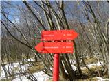 2
2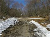 3
3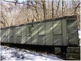 4
4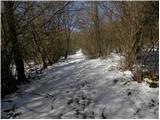 5
5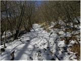 6
6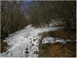 7
7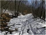 8
8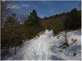 9
9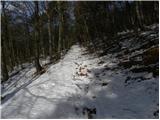 10
10 11
11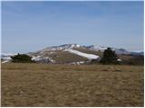 12
12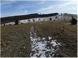 13
13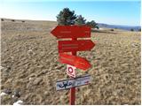 14
14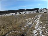 15
15 16
16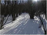 17
17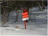 18
18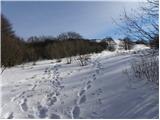 19
19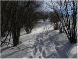 20
20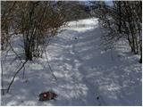 21
21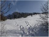 22
22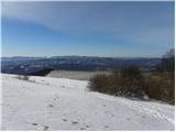 23
23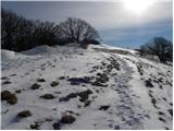 24
24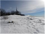 25
25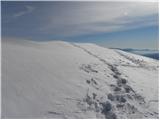 26
26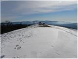 27
27 28
28
Discussion about the trail Loščica - Vremščica
|
| B215. 08. 2012 |
Izhodišče se imenuje Loščica in ne Loka (Tominčeva Loka je globoka dolina pod cesto!)... Tu tudi ni nikjer lovskega doma, je le bivak predelan iz starega vagona - da ne bi kdo iskal lovske koče...
|
|
|
|
| Tadej17. 08. 2012 |
Hvala za opozorilo, sem popravil.
|
|
|
|
| marinka6729. 10. 2014 |
Danes spotoma z morja proti celini še skok po žig na Vremščico. Vpisna knjiga je popolnoma polna, piše(m)jo že po platnicah.
|
|
|
|
| krofeta13. 08. 2016 |
Po par 10 m, ko se zavije z ceste se pride do križišča makedamske ceste in dveh poti, tukaj je potrebno nekje parkirati in iti naravnost po poti in ne levo po cesti, ni pa njkjer označeno, razen po markacijah je treba biti pozoren.
Lušten izlet, izreden razgled na vse konce..
|
|
|
|
| PlaRinka4. 06. 2017 |
Kot je krofeta že napisala, bodite pozorni na izhodišče. Če ne dosežete železnega vagona v prbl. 5 minutah, ste na napačni poti.
Sicer izredno lepa pot.
|
|
|
|
| NEIC00811. 09. 2025 09:39:57 |
Pozor!!!! Medved se sprehaja na in v okolici Vremščice.
|
|
|
|
| padez11. 09. 2025 11:49:25 |
In to ne eden.
In to ze dolgo, dolgo casa...
|
|
|