Loška Koritnica - Mangart
Starting point: Loška Koritnica (780 m)
| Lat/Lon: | 46,4147°N 13,6295°E |
| |
Time of walking: 7 h
Difficulty: very difficult marked way
Ferata: B/C
Altitude difference: 1899 m
Altitude difference po putu: 2000 m
Map: Julijske Alpe - zahodni del 1 : 50.000
Recommended equipment (summer): helmet, self belay set
Recommended equipment (winter): helmet, self belay set, ice axe, crampons
Views: 43.158
 | 4 people like this post |
Access to the starting point:
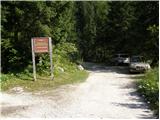
From Bovec, drive towards the Predel border crossing. In the village Log pod Mangartom, just after the bridge over the Predilnica River, turn right in the direction of Koritnica. First an asphalted then a macadam road leads quickly to a parking lot at the beginning of the entrance to the central part of the TNP.
Path description:
Take the road on the right, which is closed with a barrier. The road passes close to the stream at all times and crosses it several times. Towards the end, the road becomes narrower and narrower and leads us past a few houses to a crossroads. Turn slightly right on the footpath behind the markings Jalovec, Mangrt (left Mountain pasture Brdo). The path then goes into the forest and soon a path branches off to the right towards the saddle Čez Brežice and on towards Zavetišču pod Špičkom (Shelter under Špičko). The path leads out of the forest onto grassy slopes and on the left side of the path you will see a hunting lodge. Walk on the grassy terrain for a while and then briefly enter the forest again. When you come out of the forest, you will soon see a small waterfall on your left. Again we climb along the grassy terrain along the bed of the torrent and all the time we have wonderful views of the surrounding peaks (Briceljk, Jalovec, Mangart, Vevnica). From the grassy slopes we then slowly reach a scree slope which leads us to the crossroads of the trail. To the right, the trail branches off towards Kotovo sedlo, and we continue to the left towards Mangart. Climb the scree below the walls of Vevnica northwards. At the end of the scree, turn left and climb up some rocks to the slightly steeper southern slopes, partly covered with grass. Continue ascending gently, crossing steeper and steeper slopes to the west. As we approach the ridge, we come down the grassy slopes into a slightly more difficult part of the route. Cross a slightly exposed slope to the west along a steel cable, which leads to a slightly less visible crossroads. To the right of the ridge, the path branches off towards the Tarvisio bivouac and on towards Vevnica. We continue on the left path towards Mangart. Soon we reach a small notch from where a view opens up to the north side towards Belopeški jezero. There is a short descent with the help of a few rocks and wedges, and then a short crossing leads us to a window. The path passes through the window and leads to a vertical descent into the Huda notch. This part of the path is also well protected by wedges and a rope. From the notch, continue by crossing the steep slopes to the west, which are still well protected by a steel cable at the beginning. Later, when you reach very steep grassy slopes, the path is not protected and is very dangerous for slipping, especially in wet conditions. The path then climbs steep grassy slopes to the west and leads to the border ridge. The path becomes less exposed and soon leads to a crossroads where it joins the Italian route from the Mangart saddle. At the crossroads, continue slightly to the left and there is still a climb up a scenic slope. Then we cross the ravine and to the top we have just one last slope to overcome in the keys.

Pictures:
 1
1 2
2 3
3 4
4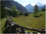 5
5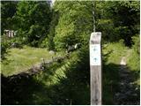 6
6 7
7 8
8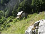 9
9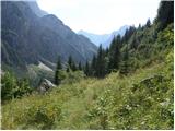 10
10 11
11 12
12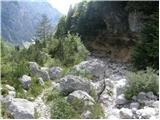 13
13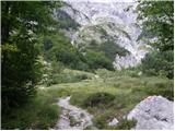 14
14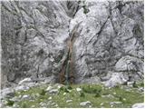 15
15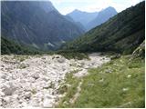 16
16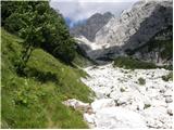 17
17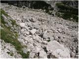 18
18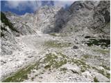 19
19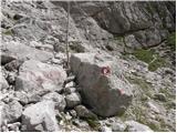 20
20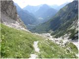 21
21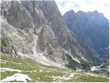 22
22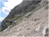 23
23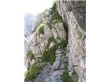 24
24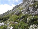 25
25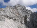 26
26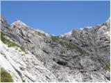 27
27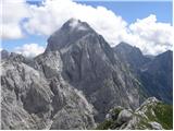 28
28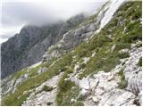 29
29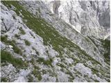 30
30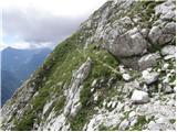 31
31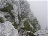 32
32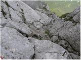 33
33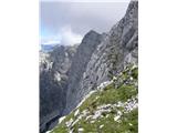 34
34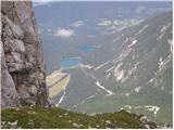 35
35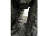 36
36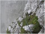 37
37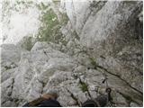 38
38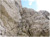 39
39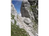 40
40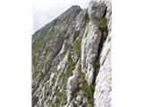 41
41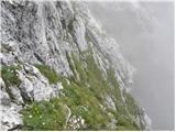 42
42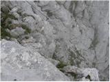 43
43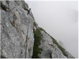 44
44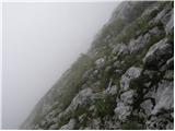 45
45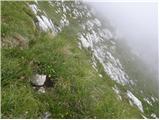 46
46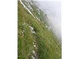 47
47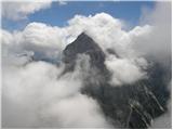 48
48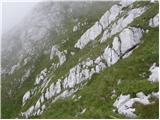 49
49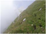 50
50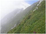 51
51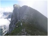 52
52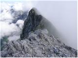 53
53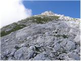 54
54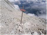 55
55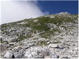 56
56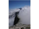 57
57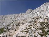 58
58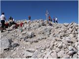 59
59
Discussion about the trail Loška Koritnica - Mangart
|
| panda25. 08. 2008 |
Pot je videti kar divja in adrenalinska. Malo me mika, ampak nezavarovano travnato prečenje je kar fejst strmo, pa še shojeno ni. Jo to smer že kdo letos prečil? 
|
|
|
|
| metod29. 08. 2011 |
Skalna pobočja (prehod skozi Hudo škrbino in z melišča na travnata pobočja) so dobro zavarovana, bolj sitna so strma travišča, predvsem nad Hudo škrbino. Je treba kar popazit.
|
|
|
|
| BostjanL10. 09. 2012 |
Od razcepa naprej, kjer se gre desno proti bivaku, levo pa proti mangartu, je potrebno paziti, da se držimo dovolj proti levi , saj so oznake slabe in kaj hitro zaviješ preveč navzgor proti bivaku, mimo katerega pa ta opisana pot NE pelje!
Če greš preveč naravnost navzgor prideš do ožine, na vrhu katere je krajša strma steno, čez katero je vržena jeklenica, zraven na steni pa piše "Erikova pot". Če preplezaš do vrha te jeklenice te na drugi strani čaka prepad, levo zelo zahtevna pot na Mali Koritniški Mangart, desno pa se lahko po izpostavljenem slemenu vrneš do bivaka. Pot na mali koritniski mangart je zelo strma in slabo varovana, poleg tega pa je teren tudi krušljiv, zato je ne priporočam.
|
|
|
|
| superoxide8. 04. 2013 |
Tukaj je kratek video iz poti na Mangart iz Loske Koritnice: http://www.youtube.com/watch?v=NQdikAKdSkY Gor smo se odpravili junija 2012. Preckati smo morali dve snezisci, eno na koncu struge hudournika, drugo pa tik pod vrhom. Za eno smer smo potrebovali 6 do 7 ur, tako kot opisano. Na pot smo se odpravili malo prepozno, tako da nas je tema ulovila ze na sredi hudournika za nazaj. Tam kjer so varovala, so v dobrem stanju, na nekaterih predelih je pa pot res precej izpostavljena brez varovanja.
|
|
|
|
| mado8. 07. 2024 19:31:48 |
Jel išao netko ovom stazom zadnjih godina? Djeluje mi jako zanimljivo i atraktivno. Jel težine Čez Plemenice na Triglav?
|
|
|
|
| julya9. 07. 2024 13:09:20 |
Avgusta 2022 je bila steza čisto dobro razvidna (in je verjetno tudi zdaj), oznake so sicer bile bolj blede, kolikor jih je sploh bilo. Je pa res strmo! To velja za odsek iz Koritnice do Hude škrbine oziroma MKM, kako je naprej proti Mangrtu, ne morem reči, ker že dolgo nisem hodila tam. Če ste zlezli Plemenice, bo verjetno šlo tudi tole. Vedno se je mogoče tudi obrniti  Srečno!
|
|
|
|
| jax9. 07. 2024 13:53:48 |
Tako hudobnih trav, kot so tiste na slikah od 45 naprej, na Plemenicah seveda ni.
|
|
|
|
| matic410. 07. 2024 10:38:38 |
Zame je to najlepši pristop na Mangart. Po tej poti se bolj malo hodi, zato je tudi manj uhojena. Je lažja kot čez Plemenice, zelo zahtevna je le okrog Hude škrbine, ko gre čez strme trave je dobro zavarovano z jeklenicami. Mado kar pogumno, gotovo ti ne bo žal.
|
|
|
|
| jax10. 07. 2024 14:40:49 |
Neresnic pa le ni treba širit. Strme trave so pretežno nevarovane.
|
|
|
|
| Hammond11. 07. 2024 07:42:21 |
To slednje vsekakor drži. "Dobro zavarovane" so samo v primerjavi z brezpotjem. 
|
|
|
|
| darinka426. 08. 2025 07:34:04 |
Včerajšnji vtisi s te poti. Midva sva šla bolj na ogledno turo. Prišla do vrha Hude škrbine 2401 m. Do tu je pot dolga. Mislim da je do tam naneslo skoro 1700 višincev. Srečaš itak ne nikogar. Midva sva kokošji parček. Malo nižje pa gada po vsej verjetnosti, svetle barve nekje na višini 2300 m . Na poti se je grel. Ker se ni mogel pravočasno umakniti v luknjo, se je postavil v položaj, da useka. Ob sestopu sva v travi na poti opazila še enega gada . Ta se je hitro umaknil. Pot je krasno speljana. Težava je bolj spodaj , kjer je podor skal. Je pot slabo vidna. Lepo pa je videna potka na Kotovo sedlo in bivak na italianski strani. Ob sestopu prijeten klepet z domačinoma, kjer izveš vedno kaj novega. Kar se trav tiče, greš previdno . Midva sva imela suhe trave in ob sestopu ni bilo težav. Razgledi s Hude škrbine pa neverjetni .
|
|
|