Lovrenc na Pohorju (cemetery) - Jezerski vrh
Starting point: Lovrenc na Pohorju (cemetery) (493 m)
| Lat/Lon: | 46,5348°N 15,37958°E |
| |
Time of walking: 4 h 20 min
Difficulty: easy marked way
Altitude difference: 1044 m
Altitude difference po putu: 1245 m
Map: Pohorje 1:50.000
Recommended equipment (summer):
Recommended equipment (winter): ice axe, crampons
Views: 146
 | 1 person likes this post |
Access to the starting point:
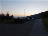
a) From the Maribor - Dravograd road, between the Fala HPP and the Ožbalt HPP, turn left towards Lovrenc na Pohorju (from the route of Dravograd turn right). On the other side of the Drava, start climbing along Radoljna, and at the marked crossroads, take a slight right along the main road towards Lovrenec to Pohorje. When you arrive in Lovrenc na Pohorje, follow the main road and park a little further away from the parish church of St. Lovrenc, in the marked parking area next to the cemetery.
b) Drive into Ruše, then follow the road to Lovrenec to Pohorje. In Činžat you will reach a pass where the road starts to descend, and then go left towards Lovrenec na Pohorju. When you reach Lovrenc na Pohorju, follow the main road and park a little further on from the parish church of St. Lovrenec, in the marked parking area by the cemetery.
Path description:
From the parking lot, follow the main road through the upper part of the settlement, passing the cemetery on the right. At first we walk along the pavement, but shortly after the road sign marking the end of the Lovrenc na Pohorju settlement we quickly reach the Hojnikova Chapel, where the pavement ends and we continue straight on in the direction of Lovrenška jezera and Ribniška koča (Kogelnikov vrh on the right). We then follow the asphalt road past a few more houses, and at the right-hand bend we leave the road and continue on a footpath that climbs above the road, and we return to it before we enter the woods. When we reach the road, the asphalt ends and we continue on the road through the forest, which quickly leads us to a place where the signs for Lovrenška jezera direct us to the right to the marked cart track. The ascent follows cart track through an initially partly chestnut forest, and higher up, passing a hunting observation post on the right and crossing an asphalt road just above it. A little further on, cross a dirt road, and when you reach another dirt road a little further on, follow it to the left. The markings point us slightly further to the right into the forest, where the path passes onto the Kasjakov Breg ridge. Climb along and along the wooded ridge, and follow the markings at a few small crossroads. Cross another road higher up, then climb mostly moderately to the Vrelenk clearing, where Urbanč's hunting lodge is located.
Above the hut, the path returns to the forest and we climb moderately to steeply on cart track. Higher up, the cart track markings direct us slightly right on a slightly overgrown path for a short time, and then we cross a forest road. Then climb through the forest, following the signs for Lovrenška jezera, and as you approach the plateau where Lovrenška jezera are located, the trail lays down and turns slightly to the right. A few minutes of crossing follow, then descend gently to a marked crossroads, where you reach the Rogla - Ribniška koča trail.
Continue right in the direction of Ribniška koča (Lovrenška jezera, Koča na Pesku and Rogla to the left), and the path takes you along the beautiful views of Pohorje and Kamnik Savinja Alps and Karawanks in the distance, and to the right there is also a beautiful view towards Golica / Koralpe. After a few minutes of descending through the vast meadow of Planinka, the path enters the forest and then descends a little more steeply. At a lower altitude, you will pass a small well, after which you will reach the Šiklarica preval, located at 1300 m above sea level.
From the pass, gradually start climbing, and follow the signs at the crossroads. A little higher up, a short trail (2 minutes) branches off to the right to the sign of the two downed airmen. Continue climbing through the forest, but higher up the forest starts to thin out and you reach the next crossroads, located a few minutes below Jezerc vrh.
Go straight ahead here (right Ribniško jezero 3 minutes) and climb to the nearby Jezerski vrh, which offers a fine view.
Lovrenc na Pohorju - Vrelenk 2:00, Vrelenk - Jezerski vrh 2:20.
Description and pictures refer to the situation in October 2022.

Pictures:
 1
1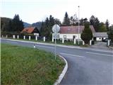 2
2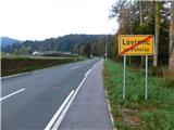 3
3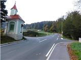 4
4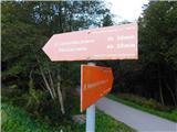 5
5 6
6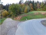 7
7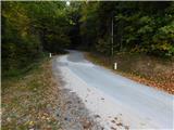 8
8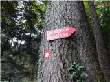 9
9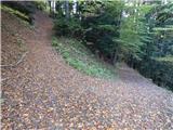 10
10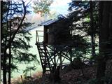 11
11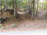 12
12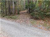 13
13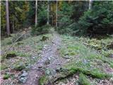 14
14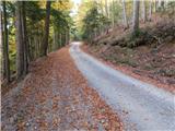 15
15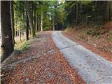 16
16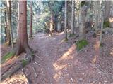 17
17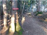 18
18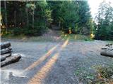 19
19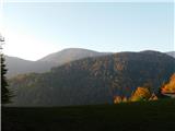 20
20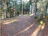 21
21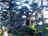 22
22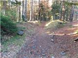 23
23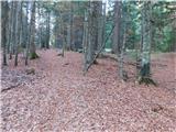 24
24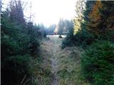 25
25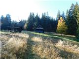 26
26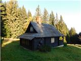 27
27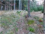 28
28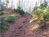 29
29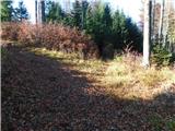 30
30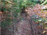 31
31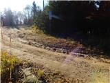 32
32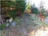 33
33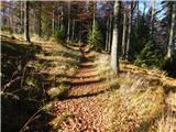 34
34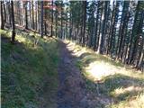 35
35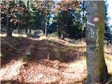 36
36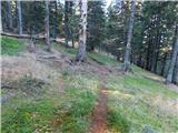 37
37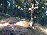 38
38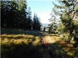 39
39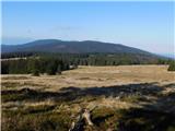 40
40 41
41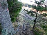 42
42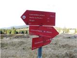 43
43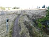 44
44 45
45 46
46 47
47 48
48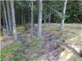 49
49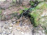 50
50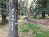 51
51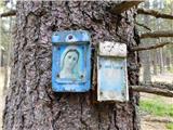 52
52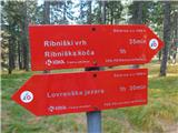 53
53 54
54 55
55 56
56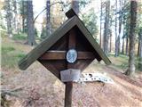 57
57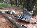 58
58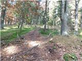 59
59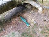 60
60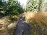 61
61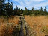 62
62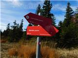 63
63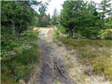 64
64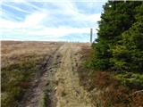 65
65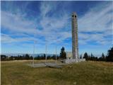 66
66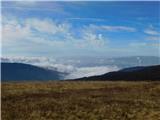 67
67
Discussion about the trail Lovrenc na Pohorju (cemetery) - Jezerski vrh