Lovrenc na Pohorju - Hlebov vrh (Rdeči Breg)
Starting point: Lovrenc na Pohorju (450 m)
| Lat/Lon: | 46,5348°N 15,3792°E |
| |
Time of walking: 2 h 10 min
Difficulty: easy marked way
Altitude difference: 463 m
Altitude difference po putu: 463 m
Map: Pohorje 1:50.000
Recommended equipment (summer):
Recommended equipment (winter): ice axe
Views: 5.019
 | 2 people like this post |
Access to the starting point:
a) By car from Maribor in the direction of Dravograd. Approximately 20 km from Maribor, turn left at the bridge over the river Drava. Continue straight ahead under the railway bridge in the hamlet of Ruta. At the next crossroads turn right and then drive through the hamlet of Puščava. The road then leads to Kurja vas, where you keep straight on at the crossroads. On the lower side you can see the well-known Sickle and Sickle Factory, and after about 2 km you arrive in the centre of Lovrenc na Pohorju, where you can park in a suitable place.
b) First drive to Dravograd, then continue to Maribor. A few kilometres after Ožbalt, turn right onto the bridge over the Drava River. Continue as described above.
Path description:
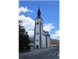
Start in the centre of Lovrenec at the Church of the Cross on Spodnji trg 4. Walk west past the monument and along the street past the primary school.
At the crossroads, turn left on the road that descends through the forest to the next crossroads, where you cross the Slepnica stream. Turn left again and follow the road along the stream. After about 200 m, a mountain signpost directs you to the right (towards St Ignatius). The path turns to macadam, and at the next crossroads the road splits into three branches. We take the middle one as directed by the sign on the electricity pole. The road climbs up the hill below the farmhouse. Soon there is a view of the central Pohorje and the town of Lovrenc na Pohorju. Higher up, turn right and go across the farm yard and into the forest. The path climbs for a while, then runs lower and turns left across the slope. Out of the woods into an orchard, to the left under a house on the edge of the woods, where the view is again fine. Continue into the forest along the forest road, but only a few metres or until you see a sign on the left directing you to the footpath. Cross the road several times, keeping to the left and then steeply uphill. When you get on the road again, go towards the Zg. Dobnik. Cross the courtyard, across the meadow and back into the woods. Pass the sign by the path and come to a fork, where you keep to the left (to the right is the path to the Glančnik hunting lodge). Out of the forest you come to a meadow, which leads to the Hudej homestead (843 m). You come to a fork in the road. A signpost points to the left (direction St Ignatius and Hlebov vrh).
Continue along the road, along which there are thematic points. Continue past the farmhouse and through a small lane of a forest. Now Hlebov vrh is on the right and we walk along the road to the Hleb homestead and after 5 minutes we are at the Church of St Ignatius (890 m).
In front of the church, we take a sharp right onto a well-trodden path, along which we see wooden arrows and in another 5 minutes we are at the highest point - Hlebov vrh 913 m.

Pictures:
 1
1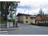 2
2 3
3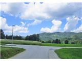 4
4 5
5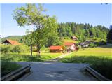 6
6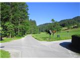 7
7 8
8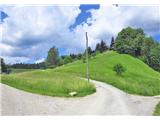 9
9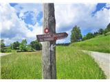 10
10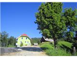 11
11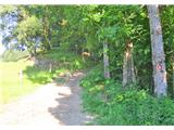 12
12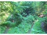 13
13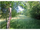 14
14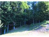 15
15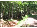 16
16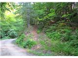 17
17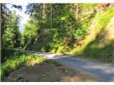 18
18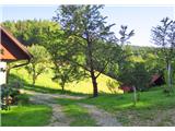 19
19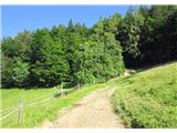 20
20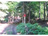 21
21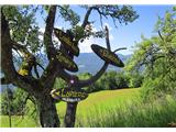 22
22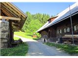 23
23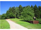 24
24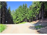 25
25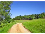 26
26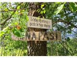 27
27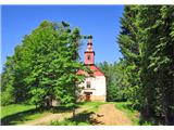 28
28 29
29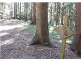 30
30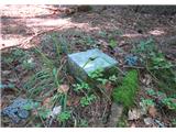 31
31
Discussion about the trail Lovrenc na Pohorju - Hlebov vrh (Rdeči Breg)