Lozice - Furlanovo zavetišče pri Abramu
Starting point: Lozice (300 m)
| Lat/Lon: | 45,785°N 14,003°E |
| |
Time of walking: 2 h 30 min
Difficulty: easy marked way
Altitude difference: 600 m
Altitude difference po putu: 700 m
Map: Nanos 1:50.000
Recommended equipment (summer):
Recommended equipment (winter): ice axe, crampons
Views: 10.330
 | 1 person likes this post |
Access to the starting point:
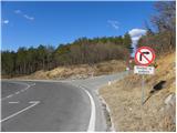
a) From the motorway Ljubljana - Koper, take the exit Razdrto and then continue along the old road towards Nova Gorica. After Razdrto the road starts to descend steeply and we follow it to a junction where the road to Lozice, closed to public traffic, branches off to the left and the road to the former construction site of the expressway branches off to the right (this junction is located near the 7 km road marker and there are also signs for Nanos at the junction). As you are not allowed to turn left or right at this junction, it is better to leave your car a few 100 m further up the road, in one of the several car parks along the road.
b) From the expressway Nova Gorica - Razdrto, take the exit Vipava and then continue along the old road towards Razdrtem. From this junction, follow the main road for only 2 km and then you will reach a junction where the road to Lozice, closed to public traffic, turns sharp right and steeply downhill, and to the left is the road to the former construction site of the expressway (this junction is located near the 7 km marker, and there are also signs for Nanos at the junction). As you are not allowed to turn left or right at this junction, it is better to leave your car a few 100 m down the road, in one of the several car parks along the road.
Path description:
From the starting point, first walk to the junction mentioned in the description up to the starting point, and from there continue along the ascending road, along which there are also signs for Nanos. The road climbs steeply at first, but then transiently lays down and leads under the viaducts of the nearby expressway. A few 10 m further on, you arrive at an unmarked crossroads, where you take a sharp right onto a road that is quite close to the expressway.
When you see the transmitters on the right (you won't be able to see them in the fog), you will see the signs for Nanos on the left side of the road, which will direct you to the left. Continue climbing through lane of bushes to a nearby meadow, where the path quickly leads to a nearby "spring". Above the spring, the path turns left into a low forest, through which it begins to climb, first gently and then moderately. Higher up, we reach a slightly wider path, which we immediately leave, as the markings direct us to the left on a gradually steeper path. A few 10 m higher, another cart track is crossed, and the path, which gradually turns to the left, becomes a little steeper. There is a cross-climb to the left and the path leads to the "Lozica resting place", where the path from Podnanos (starting point Hrašče) joins from the left.
Here we continue to the right in the direction of the hunting lodge, and the relatively wide path, in numerous detours, leads us over steeper and steeper slopes. The relatively steep path occasionally leads us over quite scenic slopes, from which we have a nice view towards the Vipava Brdo. Higher up, we come to a slightly more difficult part, where the otherwise wide path climbs crosswise over a short exposed slope (especially in snow and ice there is a risk of slipping). Above the exposed traverse you reach a marked crossroads where you continue straight on the wide path (down Podnanos and Vipava on the left, Vojkova koča past Strmec on the right). Continue climbing moderately along the wide path, which will take you to the Vojkovo hunting lodge in just over 10 minutes.
From the hunting lodge, continue to the nearby asphalt road and follow it to the right, to the nearby Vrat, after which you enter the south-western part of the plateau of nanos. On the other side of Vrat, the road starts to descend, but we follow it for only a short time, as the signs then direct us left onto a marked footpath that descends through a pine grove. After a short descent, we return to the road and follow it to the left. Follow the road to the next right-hand bend, at the end of which a waymarked path branches off to the left. Continue along cart track, which begins to climb gently, and we walk along it for only some 10 m. Then, on the right-hand side, we see the less visible beginning of a footpath which gradually begins to descend cross-wise towards Šembija bajta. At the byte, return to the road and continue along it. A little higher up, we reach a triangular crossroads where the road to Vipava branches off to the left, and we continue slightly to the right, along a gradually slightly steeper road. The road, which continues through the forest, then rises by almost 150 metres and leads to a crossroads where we reach the marked path Abram - Vojkova koča. Here, continue left along the road, which begins to descend gently. After a few minutes, exit the woods and turn right at the crossroads towards the nearby hunting lodge.
From the hunting lodge, near which there is a large parking lot, continue along the road for a few metres, and then the signs for the Abram agritourism farm direct you left onto a narrower road, along which you can just walk to the nearby shelter.

Pictures:
 1
1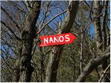 2
2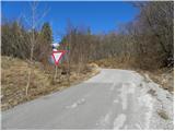 3
3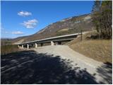 4
4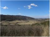 5
5 6
6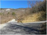 7
7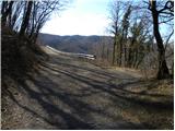 8
8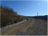 9
9 10
10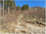 11
11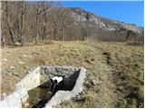 12
12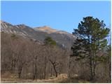 13
13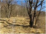 14
14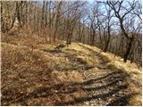 15
15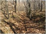 16
16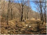 17
17 18
18 19
19 20
20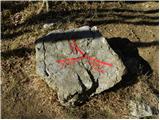 21
21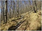 22
22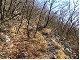 23
23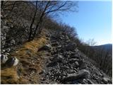 24
24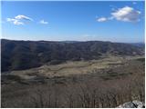 25
25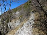 26
26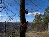 27
27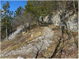 28
28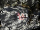 29
29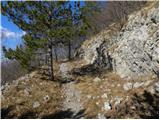 30
30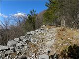 31
31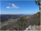 32
32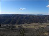 33
33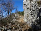 34
34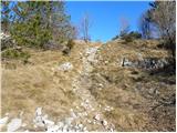 35
35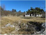 36
36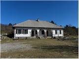 37
37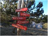 38
38 39
39 40
40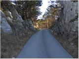 41
41 42
42 43
43 44
44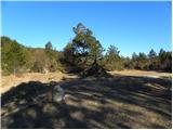 45
45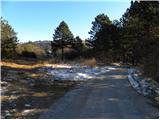 46
46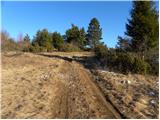 47
47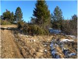 48
48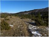 49
49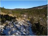 50
50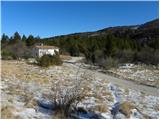 51
51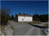 52
52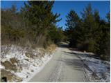 53
53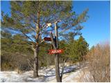 54
54 55
55 56
56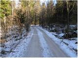 57
57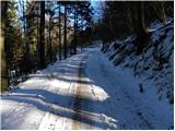 58
58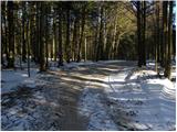 59
59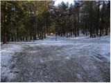 60
60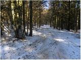 61
61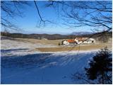 62
62 63
63 64
64 65
65 66
66 67
67 68
68
Discussion about the trail Lozice - Furlanovo zavetišče pri Abramu
|
| marinka6730. 10. 2014 |
Do Vojkove koče se torej da priti z avtom, potem pa je še 1 ura peš do Furlanovega zavetišča. A je tako? Ne da smo leni, samo šli bi kdaj spotoma z morja. 
|
|
|
|
| B230. 10. 2014 |
Ja, do Vojkove koče se da priti z avtom in od tam je do Abrama (Ježa ali tudi Furlanovega zavetišča) dve uri in pol - in še dve uri in pol nazaj do avta... Se pa da do Abrama priti tudi z avtom (cesta je prva polovica asfaltna, druga polovica pa dobra makadamska).Šli bi kdaj spotoma z morja - po žige za SPP. Pa tudi na Sinji vrh, Čaven in Pirnatovo kočo se da priti z avtom, razen na Golake... Tam pa je do žiga na vrhu res ena ura...
|
|
|
|
| marinka6730. 10. 2014 |
To mi pa daj ni jasno. Od izhodišča Lozice je 2,5 ure do Abrama, pa od Vojkove lovske koče tudi 2,5 ure do Abrama.  Torej tabla na sliki št.38 ne drži (Abram- 1h)?
|
|
|
|
| mirjam6730. 10. 2014 |
Marinka67 - tukaj je nekaj narobe razumljeno. Namreč gre za dva objekta, eden je Vojkova koča na Nanosu (to je tam, kjer so TV oddajniki) in od tam je dve uri do Furlanovega zavetišča. Druga pa je Lovska koča Vojkovo, od tu pa je eno uro do zavetišča. Do obeh se da priti z avtom. Če greš na Razdrtem po Rebernicah proti Podnanosu, je malo pred Podnanosom desno odcep za na Nanos. Pot je v celoti asfaltirana in te pripelje do Lovske koče Vojkovo. Če pa se pelješ naprej, prideš na makadam in tam je razcep - naravnost gre pot proti Furlanovem zavetišču (ali proti Abramu, kot je bolj poznano v naših krajih), desno pa pelje pot do Vojkove koče. Vsi odcepi so lepo označeni.
|
|
|
|
| marinka6730. 10. 2014 |
Eh, ja, seveda, mislim eno, pišem drugo. Hvala mirjam67, že razumem. Torej: Peljemo se do lovske koče Vojkovo in od tam do Abrama je 1 ura hoje. Na Vojkovi koči na Nanosu smo pa že bili pred dvema letoma, tudi spotoma z morja. Ne zdi se nam namreč pošteno, da bi se po žige SPP pripeljali, vsaj urca hoje mora biti, da velja. 
|
|
|
|
| mirjam6730. 10. 2014 |
Ja Marinka67, zdaj si pa prav razumela.  Tisto, glede žigov, se pa čisto strinjam s tabo. Si opazila, da imava nekaj skupnega?
|
|
|
|
| mirjam6731. 10. 2014 |
Očitno sva si obe vpisale letnik v geslo. A da ti povem, to je zelo dober letnik, takih ne delajo več! 
|
|
|
|
| eppy3. 11. 2014 |
Lep jesenski izlet  Vseeno pa mislim, da je bolj realna ocena, da so za hojo potrebne tri ure. Treba je namreč prehoditi kar dolgo razdaljo, najprej se iz Vipavske doline dvigneš na planoto, od tam je pa še slaba ura hoje (po ravnem oziroma le manjši počasni vzponi) do koče. S fantom sicer nisva šprinterja, sva pa včeraj hodila relativno hitro, brez pavz. Tako, računajte, da lahko traja več, kot je navedeno  Pa še nekaj opomb k opisu poti. "Odcep pri oddajniku" je malo slabo viden. Ko hodimo po poti, ki je praktično vzporedna hitri cesti, potrebujemo kakih 10 minut, da zagledamo navedeni oddajnik. Oddajnik se nahaja na sami hitri cesti. Takrat je potrebno pozorno gledati na svojo levo. Napis "Nanos" je na kamnu na tleh, ki je tudi malo zaraščen, tako da je treba paziti. Stezica je ozka in jo je mogoče hitro spregledati. Ko pa gremo mimo "Vrat" je najboljše kar ostati na cesti (širok makadam). Mimo sicer pripelje kak avtom ampak krajšanje po stezi do Šembiške bajte nima prav veliko smisla, ker je pot malo zapuščena (tako so povedali mimoidoči domačini). Sicer pa lep izlet. Začne se med rujem s pogledi na Vipavsko dolino, krasni so pogledi na nanoško goličavo, pot proti Abramu pa se vije že med smrekami.
|
|
|
|
| marinka6728. 04. 2015 |
Hvala za nasvete, tura je v celoti uspela! Zagodla nam je megla, pa nič zato, vsega pa res ne moreš imeti 
|
|
|
|
| Matej17. 04. 2016 |
Pozdrav vsem!
Slučajno sem izvedel za tole planinsko postojanko in ogorčeno opazil fotografijo medveda v kletki. To je verjetno preteklost, a ne? Ve kdo kaj o tem? Zapreti tako žival v tako majhno kletko je namreč tako nehumano, kot če bi oskrbnika tega zavetišča zaprl v shrambo.
Lp Matej
|
|
|
|
| natalia237. 04. 2016 |
Pozdravljen,ni preteklost,medved je se vedno v tej kletki na nekaj kvadratnih metrih,nekako velja za atrakcijo tega gostisca...
|
|
|
|
| Matej17. 04. 2016 |
Neverjetno, da nihče ne ukrepa ... No, nekdo bo 
|
|
|
|
| ajax8. 04. 2016 |
ne bodo,je že kar veliko let,pridi pogledat v živo,če pa boš kaj pojedel ali spil,pa mislim,da moraš prej rezervirat,vsaj poleti je tako,polno makaronarjev. 
|
|
|