Mače - St. Miklavž above Mače
Starting point: Mače (600 m)
| Lat/Lon: | 46,3131°N 14,4187°E |
| |
Time of walking: 20 min
Difficulty: easy unmarked way
Altitude difference: 51 m
Altitude difference po putu: 80 m
Map: Karavanke - osrednji del 1:50.000
Recommended equipment (summer):
Recommended equipment (winter):
Views: 5.581
 | 1 person likes this post |
Access to the starting point:
a) From the motorway Ljubljana - Jesenice, take the exit Kranj - East, then continue driving in the direction of Jezersko. When you reach Preddvor, leave the main road and turn left towards the centre of the town, and from there follow the signs for Mače. When you arrive in Mače, continue right at the marked crossroads (left Bašelj, straight ahead St Nicholas Church (the church is not accessible by car)) and follow the narrow road above the village, where there is a large marked parking lot.
b) From the motorway Jesenice - Ljubljana, take the exit Kranj - West and continue left at the first junction. Continue through the underpass under the motorway and then to the roundabout, from where you continue in the direction of Golnik. The road continues through Mlaka pri Kranju, and at the end of the village we turn right in the direction of Srakovlje. We then drive through Srakovlje, Spodnja Bela, Srednja Bela to Zgornja Bela, where we turn right towards Preddvor. At Preddvor we see signs for Mače, which direct us left past the primary school onto the road that climbs up to Maca. When you arrive at Mače, continue right at the marked crossroads (left Bašelj, straight ahead St Nicholas Church (the church is not accessible by car)) and follow the narrow road above the village, where there is a large marked parking lot.
Path description:
From the parking lot above Mače, follow the asphalt road back to the centre of the village, and from there continue in the direction of St. Nicholas (the branch road in the middle of the village towards St. Nicholas is well marked). From the centre of the village, continue along the cul-de-sac and begin a moderate ascent. The road soon becomes a lay-by and leads to a place where we see the next sign for St Nicholas, which this time directs us to the left, onto a road that leads us past a few yards to a nearby stream. Before reaching the stream, the next marker directs us to the right, where we continue past a garage and along a concrete steel cable. When the road has already deteriorated and descends fully to the stream Suha, cross it over a small wooden bridge. On the other side of the small bridge, climb up to the edge of the yard of a nearby dwelling house, then continue right to start climbing along a chain-link fence. After a short climb, you will reach the edge of a large hay field, from where you will have a beautiful view of Tolsti vrh and Storžič. Continue along the edge of the forest, or on the right-hand side of the meadow, to the point where the path returns to the forest. Once in the forest, the path widens into cart track, and we continue along it for only a few 10 steps, then go right onto a well-trodden path. A little further on we reach the next cart track, which we cross diagonally to the left.
From cart track onwards, climb a moderately steep path which quickly leads out of the woods and onto a larger meadow below the Church of St Nicholas. From here it is only a short climb and we are at the church, which offers a beautiful view of the Gorenjska settlements, the Polhograjsko and Škofjeloško hribovje and, with good visibility, Triglav.

Pictures:
 1
1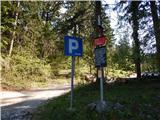 2
2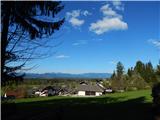 3
3 4
4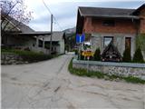 5
5 6
6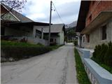 7
7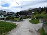 8
8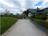 9
9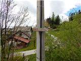 10
10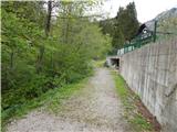 11
11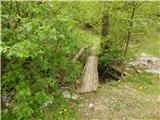 12
12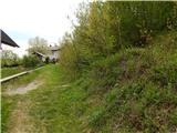 13
13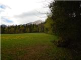 14
14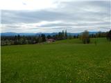 15
15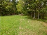 16
16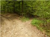 17
17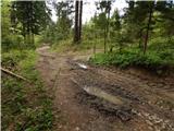 18
18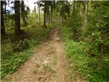 19
19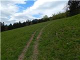 20
20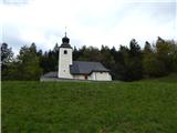 21
21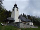 22
22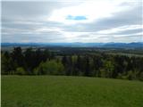 23
23
Discussion about the trail Mače - St. Miklavž above Mače
|
| gmirko13. 02. 2022 16:12:20 |
Lep sprehod, le da iz Preddvora, mimo Nove vasi in Mač do cerkvice, ki pa je bila zgrajena veliko prej kot piše v opisu izhodišča.
|
|
|