Mače - Dom na Kališču (via Kozjek)
Starting point: Mače (600 m)
| Lat/Lon: | 46,3131°N 14,4187°E |
| |
Name of path: via Kozjek
Time of walking: 2 h 45 min
Difficulty: easy marked way
Altitude difference: 934 m
Altitude difference po putu: 950 m
Map: Karavanke - osrednji del 1:50.000
Recommended equipment (summer):
Recommended equipment (winter): ice axe, crampons
Views: 12.926
 | 2 people like this post |
Access to the starting point:
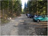
a) From the motorway Ljubljana - Jesenice, take the exit Kranj - East, then continue driving in the direction of Jezersko. When you reach Preddvor, leave the main road and turn left towards the centre of the town, and from there follow the signs for Mače. When you arrive in Mače, continue right at the marked crossroads (left Bašelj, straight ahead St Nicholas Church (the church is not accessible by car)) and follow the narrow road above the village, where there is a large marked parking lot.
b) From the motorway Jesenice - Ljubljana, take the exit Kranj - West and continue left at the first junction. Continue through the underpass under the motorway and then to the roundabout, from where you continue in the direction of Golnik. The road continues through Mlaka pri Kranju, and at the end of the village we turn right in the direction of Srakovlje. We then drive through Srakovlje, Spodnja Bela, Srednja Bela to Zgornja Bela, where we turn right towards Preddvor. At Preddvor we see signs for Mače, which direct us left past the primary school onto the road that climbs up to Maca. When you arrive at Mače, continue right at the marked crossroads (left Bašelj, straight ahead St Nicholas Church (the church is not accessible by car)) and follow the narrow road above the village, where there is a large marked parking lot.
Path description:
From the parking lot, continue in the direction of Kališča and follow the forest road, which is closed to public traffic. The road, which climbs relatively steeply, leads us after a good 20-minute walk to a marked crossroads, where the normal route to Kališče branches off to the left, and we continue to the right and continue along the deteriorating forest road. Just a little higher we reach the bottom station of the cargo cableway leading to Kališče, and the road gradually turns into a wide cart track after that. The ascent is a bit more difficult due to the labyrinth of tracks, but if you follow the markings carefully, you can't miss it. Higher up, the cart track turns into a steep footpath, which in time leads to the Kozjek ridge. Here the path is laid and turns left, where after a few minutes of further walking it leads us to a marked crossroads.
Continue left in the direction of Storžič and Kališča (to the right Srednji vrh, Hudičev boršt, Potoška gora and St. Jakob) along the path, which continues to cross the slopes to the left. While crossing, we will come to a small scree slope, from which we will have the first view towards the valley. There is a short crossing and the path leads to the valley of the Suhe, where a slightly shorter unmarked path joins from the left.
Continue in the direction of Kališča and ascend the gradually steeper path. The way forward continues for some time climbing through the dense forest, and then leads us to the foot of the rocky cliffs and only slightly higher on the ridge, where only a few metres out of the way we see a small cottage. Here the path turns right and climbs steeply over a short rocky jump. The path lays down here and joins the normal path leading to Kališče just a few metres further on.
Continue in the direction of Kišče and ascend along a moderately steep path, which will take you to the Mountain Home at Kišče within 5 minutes of further walking.

Pictures:
 1
1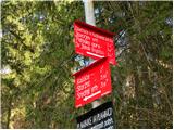 2
2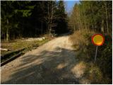 3
3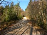 4
4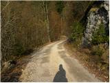 5
5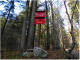 6
6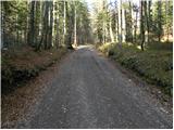 7
7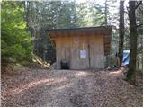 8
8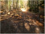 9
9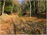 10
10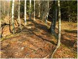 11
11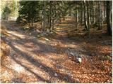 12
12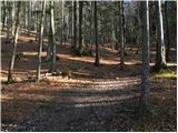 13
13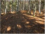 14
14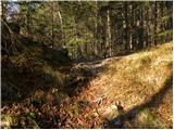 15
15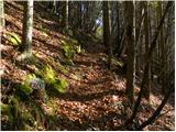 16
16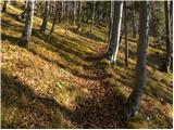 17
17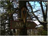 18
18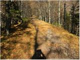 19
19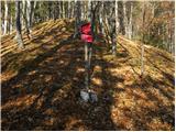 20
20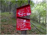 21
21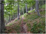 22
22 23
23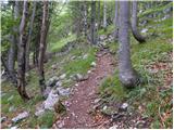 24
24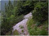 25
25 26
26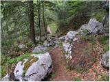 27
27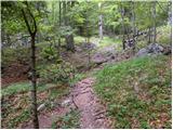 28
28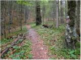 29
29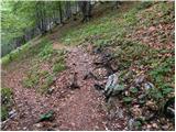 30
30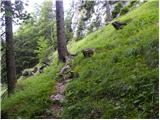 31
31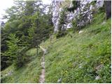 32
32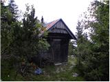 33
33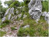 34
34 35
35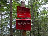 36
36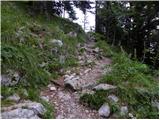 37
37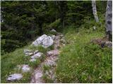 38
38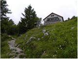 39
39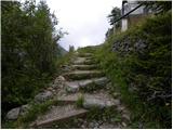 40
40 41
41
Discussion about the trail Mače - Dom na Kališču (via Kozjek)
|
| velkavrh28. 12. 2011 |
Danes sem se odločil iti k domu na Kališču po manj znani poti -Čez Kozjek. Res je do grebena Kozjeka malo strmo, vendar je dobro označeno. Od tu je bilo poledenelo in so potrebne dereze. Pri koči pa veliko obiska in prečudovito vreme-sonce-dolina pa se je skrivala v megli. Pogled od blizu na zasnežen Storžič je bil veličasten. Po običajni poti pa nazaj. Približno eno tretjino poti za nazaj je poledenela, naprej je v redu.
|
|
|
|
| balon8. 06. 2014 |
Ali se da priti z avtom do slike 12? Balončki 
|
|
|
|
| serajko8. 06. 2014 |
Balon
LP
Če imaš terenca ,se boš prebil. Lahko pa pustiš avto na sliki 1 in do tam hodiš cca 20-25 m . Ena varianta je ugodnejšs saj skoraj brez škode prideš z navadnim avtom do slike 6, potem pa še 10min do slike 12
. Lahko mi pišeš na ZS za več info.
|
|
|
|
| serajko8. 06. 2014 |
sirt
slika 3 je zgodovina . Nastala je ob objavi poti. Znaka ni več!!
|
|
|
|
| serajko8. 06. 2014 |
Tudi slika 6 ni več aktualna
|
|
|