Mače - Mali Grintovec (through valley of Suha)
Starting point: Mače (600 m)
| Lat/Lon: | 46,3131°N 14,4187°E |
| |
Name of path: through valley of Suha
Time of walking: 3 h 15 min
Difficulty: easy pathless terrain
Altitude difference: 1213 m
Altitude difference po putu: 1213 m
Map: Karavanke - osrednji del 1:50.000
Recommended equipment (summer):
Recommended equipment (winter): ice axe, crampons
Views: 6.668
 | 1 person likes this post |
Access to the starting point:
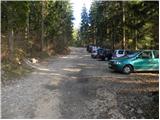
From the motorway Ljubljana - Jesenice take the exit Kranj - East and follow the road towards Jezersko, but only as far as the village of Tupaliče. Here, the sign for Preddvor directs you to the left, and then follow the road in the direction of the neighbouring village Mače. Through the village Mače, follow the mountain signs for Kališče. Shortly after the village you will see a marked parking area where you park (no further driving is allowed).
Path description:
From the parking lot, continue in the direction of Kališča and follow the forest road, which is closed to public traffic. The road, which climbs relatively steeply, leads us after a good 20-minute walk to a marked crossroads, where the normal route to Kališče branches off to the left, and we continue to the right and continue along the deteriorating forest road. Just a little higher we reach the bottom station of the cargo cableway leading to Kališče, and the road gradually turns into a wide cart track after that.
Follow the marked cart track for a while, then, when it splits in two, continue along the wider unmarked cart track on the left (at the crossroads there is cairn). The ascent continues along the above-mentioned cart track, which climbs steeply along a strip of uncultivated slope. At a higher altitude, the cart track ends and we continue on a well-traced but rather steep path which turns into dense forest at a higher altitude. After about 20 minutes of climbing, we join the marked path, which we follow to the left.
We follow the marked path for only 10 m, then just before the marked path turns sharp left, we leave it and continue straight ahead on a barely visible path. The path quickly disappears in the forest and we continue in the same direction. The path then quickly leads us out of the forest onto dwarf pines rubble, along which we climb towards Mačensko sedlo. Although the 'path' is more difficult to follow in some places, there are no major problems with orientation, as we continue in the same direction all the time (i. e. towards the saddle between Bašeljski vrh and Mali Grintovec). Higher up, we have to make our way through a short strip of dwarf pines, but the passage is not particularly difficult, as there is a visible, otherwise completely overgrown, path through the aforementioned part. The path leads on from dwarf pines and after a few steps of further walking we arrive at Mačensko sedlo, where we rejoin the marked path.
Follow the trail to the right, and it begins to climb relatively steeply up the western slope of Mali Grintovec. After about half an hour's walk from Mačensko sedlo, we reach a marked crossroads where the path from Dolga njiva joins from the right. Continue left and after some 10 steps of further walking you will reach the top of Malý Grintovec.

Pictures:
 1
1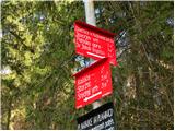 2
2 3
3 4
4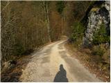 5
5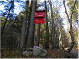 6
6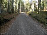 7
7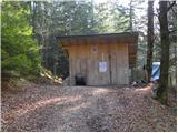 8
8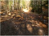 9
9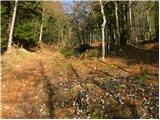 10
10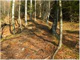 11
11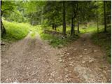 12
12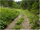 13
13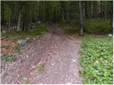 14
14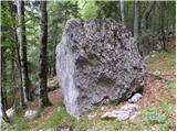 15
15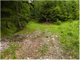 16
16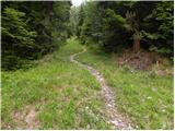 17
17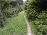 18
18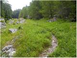 19
19 20
20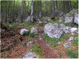 21
21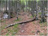 22
22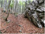 23
23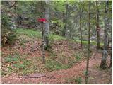 24
24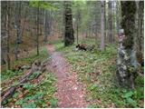 25
25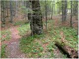 26
26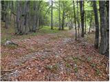 27
27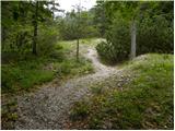 28
28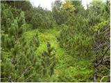 29
29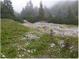 30
30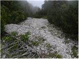 31
31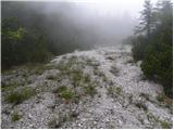 32
32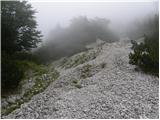 33
33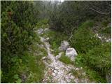 34
34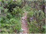 35
35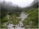 36
36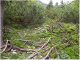 37
37 38
38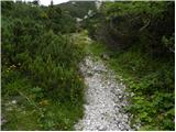 39
39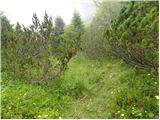 40
40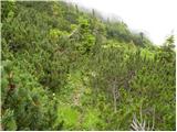 41
41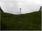 42
42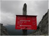 43
43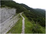 44
44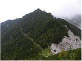 45
45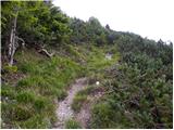 46
46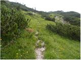 47
47 48
48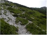 49
49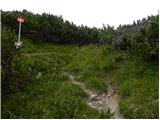 50
50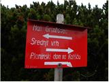 51
51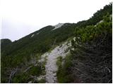 52
52 53
53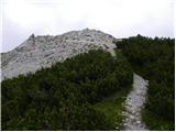 54
54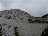 55
55
Discussion about the trail Mače - Mali Grintovec (through valley of Suha)
|
| Anansie27. 05. 2019 |
Včeraj po tej poti. Prvi del do markirane poti na Kališče je odlično sledljiva, nato se začne iskanje. Mestoma je popolnoma zaraščena in je boj z borovci kar intenziven 
|
|
|
|
| Guest31. 05. 2019 |
Verjetno si nekje malo zgrešil(a) pravo pot. V tem slučaju je stvar res komaj prehodna. No kakorkoli pot je sedaj očiščena, postavil sem tudi nekaj novih možicev.Orientacijska zanka je pri slikah 30 in 31. Tu sedaj kaže na pravo pot velik možic. Ko pridemo iz gozda in se nam odpre pogled levo in desno je vidna stezica ,ki zavije ostro desno in nas pripelje do jase in manjšega napajališča za divjad. Lep kraj za krajši počitek. Nato se vrnemo nazaj in samo po strugi hudournika navzgor.(sl.31 ) Še namig za tiste ki ne marajo razbitih kolovozov. Malo nad spodnjo postajo žičnice (sl.10 ) ,ko pot zapusti kolovoz, gremo še kakšnih 15 metrov po kolovozu naprej,in pri možicu zavijemo levo na dobro uhojeno pot ,ki nas pripelje do markirane poti na Kališče.(sl.24)
|
|
|