Makekova Kočna - Visoki vrh above Jezersko (via Javornik)
Starting point: Makekova Kočna (900 m)
| Lat/Lon: | 46,3931°N 14,5009°E |
| |
Name of path: via Javornik
Time of walking: 2 h 15 min
Difficulty: easy unmarked way
Altitude difference: 559 m
Altitude difference po putu: 600 m
Map: Kamniške in Savinjske Alpe 1:50.000
Recommended equipment (summer):
Recommended equipment (winter): ice axe, crampons
Views: 4.875
 | 1 person likes this post |
Access to the starting point:
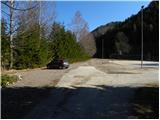
From the motorway Ljubljana - Jesenice take the exit Kranj - East and follow the road towards Jezersko. At the bus stop in Jezersko, turn right into the valley of Makekova Kočna (direction Čedca waterfall, Veliki vrh and Češka koča). The road then crosses the Jezernica River via a bridge, and just a few metres further on, at the crossroads near the chapel, turn left towards the nearby sports ground, where we park.
Path description:
From the parking lot by the sports ground, continue along the macadam road, which climbs almost imperceptibly parallel to the Jezernica stream. After a few minutes of easy walking, you will come to a small crossroads, where an ascending unmarked cart track (there is usually a smaller cairn at the crossroads) branches off sharply to the right and you will continue your ascent. The cart track immediately passes into the forest and leads to a crossroads where it splits into two parts. Continue along the left-hand cart track, at which you will soon see a warning sign informing you that the way ahead is dangerous (from here onwards it is not advisable to climb during forestry work).
The ascent continues along the relatively steep cart track, which initially offers some views of Virnikov Grintovec, but then turns into a dense forest. Higher up, cross two torrents from right to left, and after the second torrent the path gradually turns slightly to the right, or climbs alongside it for a while. When the cart track then turns a little more to the right, cross the torrent from left to right. Pay attention here, however, because about 50 m higher up, an unmarked path branches off to the left, the start of which is harder to see because of the new cart track. The cart track climbs up to a small clearing, where the start of the forest track can already be found. The path turns left and then climbs steeply across a relatively steep, first wooded and then avalanche-prone slope. Higher up, the slope is flattened and the path continues along a small valley straight up. In the lower part of the valley, we get some views of Storžič and the surrounding peaks, and then the trail passes into dense forest, through which it climbs steeply until it reaches the Turnov ridge.
Here we continue to the right (left Turni 1 minute) and the path quickly leads us to a small notch between Turni and Skubrovi vrh. After the notch, the path climbs moderately and after a short climb leads us to the ridge south of Skubrov Peak.
Once on the ridge, continue to the right (left on the easier trackless Skubrov vrh for 2 minutes) and continue along the old wire fence, which climbs through the spruce forest. Higher up, we climb steeply for a short time, then the forest thins out and the path leads us to the Javornik ridge, where it turns left. Continue along the gently sloping ridge, and we occasionally follow the less visible path to a small clearing, from which we get a nice view. Above the clearing, the path goes into the forest and after a few 10 steps of further walking leads us to the undistinguished and forested top of Javornik. From Javornik, continue along the path, which descends gently to the south and quickly leads to a large clearing. With beautiful views of the surrounding mountains, walk to the other side of the clearing, then continue slightly left into the forest, through which the path then climbs steeply. The relatively steep path, which follows the ridge the whole way, leads us higher out of the forest, from where we are only a short climb away from the summit, along the increasingly scenic ridge of Visoko vrh.

Pictures:
 1
1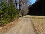 2
2 3
3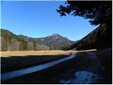 4
4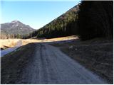 5
5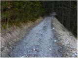 6
6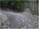 7
7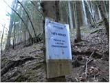 8
8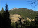 9
9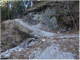 10
10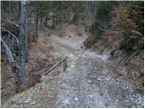 11
11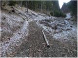 12
12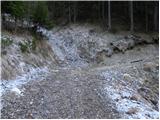 13
13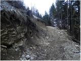 14
14 15
15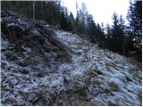 16
16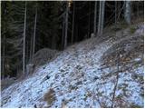 17
17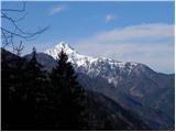 18
18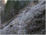 19
19 20
20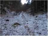 21
21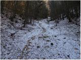 22
22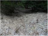 23
23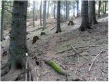 24
24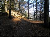 25
25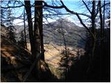 26
26 27
27 28
28 29
29 30
30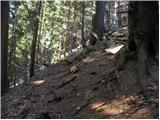 31
31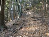 32
32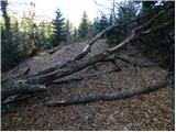 33
33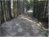 34
34 35
35 36
36 37
37 38
38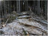 39
39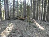 40
40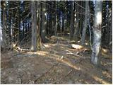 41
41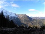 42
42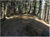 43
43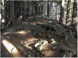 44
44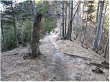 45
45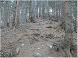 46
46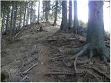 47
47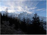 48
48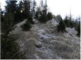 49
49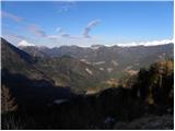 50
50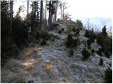 51
51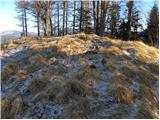 52
52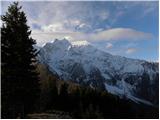 53
53
Discussion about the trail Makekova Kočna - Visoki vrh above Jezersko (via Javornik)
|
| ppegan29. 05. 2023 08:43:04 |
Me smo se včeraj po tem opisu odpravile na Javornik in Visoki vrh, od tam pa smo nadaljevale še do Češke koče. Opis mi ni bil kaj dosti v pomoč, saj "nevidne" potke na sliki 15 nisem našla. Pa se nisem kaj dosti sekirala, saj sem se znašla tako, da sem kolovozu sledila do njegovega konca, saj je bila smer proti grebenu prava, nato pa sem zavila rahlo v desno na travnat hrbet, ki sem mu sledila do višje ležeče, zelo udobne, gozdne ceste. Tu sem se usmerila levo in cesti sledila na greben in nato skoraj na vrh Javornika. Vmes so sedaj že nove vlake, ogromno je posekanega, tako da slike od številke 15 pa do 43/44 niso več na mestu, bi jih bilo fajn zamenjat. Nekdaj je bil Javornik gozdnat in poraščen, sedaj pa je vse posekano, namesto dreves pa raste trava. Vseeno zelo lepi konci, za nas pa še ena deloma brezpotna tura s seznama želja 
|
|
|