Mala Lazna - Mrzovec (by road)
Starting point: Mala Lazna (1100 m)
| Lat/Lon: | 45,981°N 13,8262°E |
| |
Name of path: by road
Time of walking: 2 h 30 min
Difficulty: easy unmarked way
Altitude difference: 310 m
Altitude difference po putu: 400 m
Map: Goriška 1:50.000
Recommended equipment (summer):
Recommended equipment (winter):
Views: 5.462
 | 1 person likes this post |
Access to the starting point:
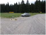
First, drive to Lokve (to get here from Nova Gorica or Most na Soči), then continue driving towards Predmeja. When you reach a large meadow, where you see a number of direction signs at the road junction, you are at Mali Lazna.
Access from Predmeja is also possible.
Path description:
From Mala Lazna, follow the cart track marked cart track, which continues parallel to the road leading to Predmeja. After a few minutes of easy walking, you will reach the south-western edge of Mala Lazna, where there are a large number of tables and benches. Here you will see the start of a forest path, which you quickly follow up to a nearby forest road, which you then follow to the right. Just a few metres further on, you will come to an information board marking the beginning of the Smrečje Nature Monument. Continue along the macadam road, which after a short descent leads to a beautiful grassy plain called Avška Lazna. Here the road is laid and leads us on through vast, mostly spruce forests. A little further on, at Turkova Frata, we join a wider and partly asphalted road leading from the Lord's hayfields. Follow the road to the right, which soon becomes asphalted and starts to climb steeply. Higher up, you will reach the Prevala Preval, where a forest road branches off to the left and is closed to public traffic. We continue along the asphalted road for a few metres, and then, as it begins to descend, we see another forest road on the right and a green ramp beside it. We take the road, which begins to climb gently through the forest, while we get some views of the sea through the treetops. A little further on, we come to a small crossroads where we continue on the ascending road to the right, which after a few short serpentines gradually descends and leads us to the next crossroads. This time we continue slightly to the left and continue along the gently sloping road, which continues towards the foot of Petelinovec (1362 m). Here the road, which begins to climb again, first turns right and then gradually starts to turn more and more to the left. Higher up, we cross a scenic slope, and the road then turns to the right, where, after a short cross-climb, it leads us to the pass between the aforementioned Petelinovec and Mrzovec. Continue along the road as it approaches Mrzovec, which then turns to the right and becomes increasingly grassy and overgrown cart track. Cart track gradually turns to the left, so that the summit is almost rounded. When we are on the north side of the summit, the marked path from the village of Lokve joins us, and we continue along cart track for a while. Only a few 10 m further on, cart track ends and we continue slightly left along the marked footpath, which takes us to the top of Mrzovec in 5 minutes of further walking.

Pictures:
 1
1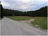 2
2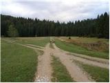 3
3 4
4 5
5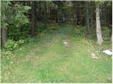 6
6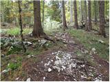 7
7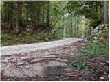 8
8 9
9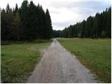 10
10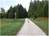 11
11 12
12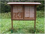 13
13 14
14 15
15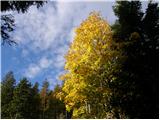 16
16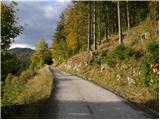 17
17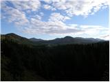 18
18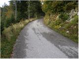 19
19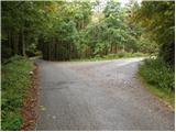 20
20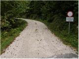 21
21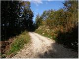 22
22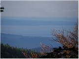 23
23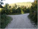 24
24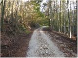 25
25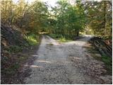 26
26 27
27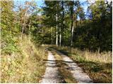 28
28 29
29 30
30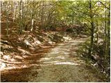 31
31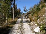 32
32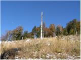 33
33 34
34 35
35 36
36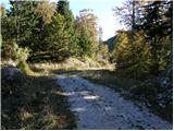 37
37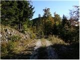 38
38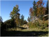 39
39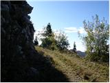 40
40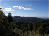 41
41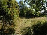 42
42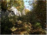 43
43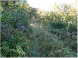 44
44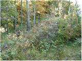 45
45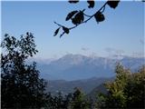 46
46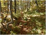 47
47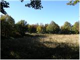 48
48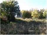 49
49 50
50
Discussion about the trail Mala Lazna - Mrzovec (by road)