Starting point: Mallnitz (1215 m)
| Lat/Lon: | 47,0148°N 13,1853°E |
| |
Time of walking: 4 h
Difficulty: easy marked way
Altitude difference: 1505 m
Altitude difference po putu: 1505 m
Map:
Recommended equipment (summer):
Recommended equipment (winter): ice axe, crampons
Views: 4.708
 | 2 people like this post |
Access to the starting point:
From Spittal, drive towards Lienz, but only as far as Möllbrücke. In this village you will see signs for Mallnitz and the Alpine road to Großglockner. Follow this road to Obervellach, where the signs for Mallnitz point to the right. After the village, the road starts to climb steeply and after a few kilometres of climbing, it leads to the alpine town of Mallnitz. Continue for a few kilometres to the bottom station of the cable car to Ankogel (Ankogelbahn), where you park in a large parking lot.
Path description:
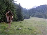
At the end of the parking lot, you will see signs on the left hand side of the road directing you left to the ski area. The trail then climbs quite steeply up the ski slope and occasionally passes through the forest or along a mountain road. If you stray from the marked trail somewhere along the way, you can also follow the mountain road or the ski slope. After a good hour's walk from the starting point, you will reach the intermediate station of the cable car at which the Hochalmblick hut is located.
Just above the hut there are signs directing you further along the ski slope. The path first runs along the grassy slopes on the left side of the cable car, then turns slightly to the right and crosses a few streams to reach the right side of the cable car. The trail then ascends parallel to the cableway towards the Etschlsattel saddle (2546m). Shortly before the saddle, the trail from the Mindener Hütte joins from the left. At the saddle, turn left and there is only a short climb to the top station of the cable car.
From the top station, continue straight on in the route Hannoverhaus, and to the right there is a direct route, a few minutes shorter, towards Ankogle. From the top cable car station, it is about 15 minutes' climb to the hut.

Pictures:
 1
1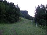 2
2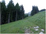 3
3 4
4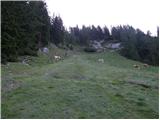 5
5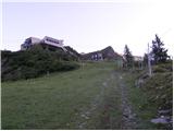 6
6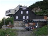 7
7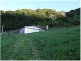 8
8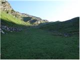 9
9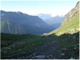 10
10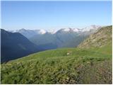 11
11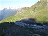 12
12 13
13 14
14 15
15 16
16 17
17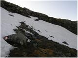 18
18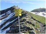 19
19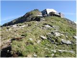 20
20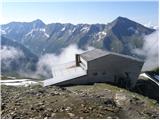 21
21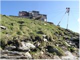 22
22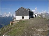 23
23
Discussion about the trail Mallnitz - Hannoverhaus
|
| piotr7. 10. 2018 |
Tale dom pa je že pet let nov in na drugi lokaciji, tako da bi veljalo posodobiti vsebino. 
|
|
|