Mariborska koča - Ledinekov kogel (eastern path)
Starting point: Mariborska koča (1086 m)
| Lat/Lon: | 46,50183°N 15,55649°E |
| |
Name of path: eastern path
Time of walking: 30 min
Difficulty: easy marked way
Altitude difference: 96 m
Altitude difference po putu: 100 m
Map: Pohorje 1:50.000
Recommended equipment (summer):
Recommended equipment (winter): ice axe, crampons
Views: 144
 | 1 person likes this post |
Access to the starting point:
Leave the Štajerska motorway at the exit for Slivnica and Rogoza, then follow the signs for Pohorje and Areh. The way forward takes you through Spodnje and Zgornje Hoče, Slivnica Pohorje, and after the settlements follow the signs for Areh, and higher up follow the signs for the Maribor cottage. Park in the parking lot a little in front of the Maribor cottage.
Path description:
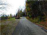
From the parking lot in front of Mariborska koča, follow the route of arrival to the starting point back to the nearby marked crossroads, from which take the side road in the direction of St. Bolfenk and the Bellevue Hotel. Continue on the side road which leads through the village of holiday homes, and in the village continue on the upper left road which starts to climb steeply (straight ahead to St. Bolfenk and the Bellevue Hotel). The holiday village ends after a few minutes and we continue along the marked cart track, following the signs at the crossroads of several trains. Higher up, we reach a path leading from the upper station of the pendulum, and we continue sharp left in the direction of Ruška hut na Arehu. We continue our easy ascent and within a few minutes of further walking we reach the unmarked Ledinekov kogel, where we see a radar tower.
Description and pictures refer to November 2022.
Pictures:
 1
1 2
2 3
3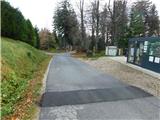 4
4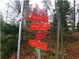 5
5 6
6 7
7 8
8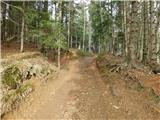 9
9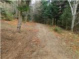 10
10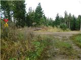 11
11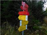 12
12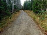 13
13 14
14 15
15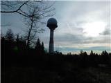 16
16
Discussion about the trail Mariborska koča - Ledinekov kogel (eastern path)