Mariborska koča - Ledinekov kogel (western path)
Starting point: Mariborska koča (1086 m)
| Lat/Lon: | 46,50183°N 15,55649°E |
| |
Name of path: western path
Time of walking: 30 min
Difficulty: easy marked way
Altitude difference: 96 m
Altitude difference po putu: 96 m
Map: Pohorje 1:50.000
Recommended equipment (summer):
Recommended equipment (winter): ice axe, crampons
Views: 118
 | 0 people like this post |
Access to the starting point:
Leave the Štajerska motorway at the exit for Slivnica and Rogoza, then follow the signs for Pohorje and Areh. The way ahead takes you through Spodnje and Zgornje Hoče, Slivnica Pohorje, and after the settlements follow the signs for Areh, and higher up the signs for Maribor cottage. Park in the parking lot a little in front of the Maribor cottage.
Path description:
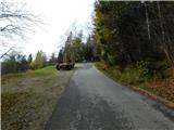
From the parking lot in front of Mariborska koča, walk to the hut, passing it on the left, and return to the road behind the hut. Start climbing up the road, and at the first crossroads continue straight on in the direction of Ruška koča na Arehu, and at the second crossroads turn slightly right (slightly left Areh). After a few more ascents on the macadam road, you will arrive at the pass to the west of Ledinek's kogel, where there is a marked crossroads.
Continue to the right in the direction of Bolfenko and the Lookout Tower (left Ruška koča, straight Pečke and Log, sharp right the fenced area below Ledinek's Kogol) and in a few minutes climb along the macadam road to an undistinguished summit.
Description and pictures refer to the situation in March and November 2022.
Pictures:
 1
1 2
2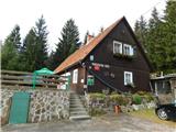 3
3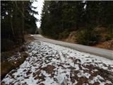 4
4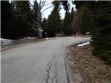 5
5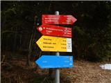 6
6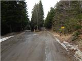 7
7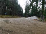 8
8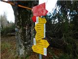 9
9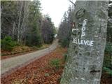 10
10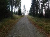 11
11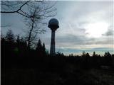 12
12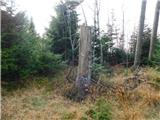 13
13
Discussion about the trail Mariborska koča - Ledinekov kogel (western path)