Martinje (sports center Martinje) - Tromejnik / Dreiländerecke / Harmashatar
Starting point: Martinje (sports center Martinje) (386 m)
| Lat/Lon: | 46,85005°N 16,13858°E |
| |
Time of walking: 1 h
Difficulty: easy marked way
Altitude difference: 4 m
Altitude difference po putu: 90 m
Map: Pomurje 1:40.000
Recommended equipment (summer):
Recommended equipment (winter):
Views: 585
 | 2 people like this post |
Access to the starting point:
a) Drive to Murska Sobota, then continue to the Hodoš border crossing. At Gornji Petrovci, turn left at a slightly larger crossroads in the direction of Kuzma and Martinje. Before the beginning of Martinje, turn right into a large parking area next to the cemetery and the Martinje Sports Centre, where you park.
b) Drive into Kuzma, then follow the road towards Petrovce. At the end of Martinje (road sign Trdkova Martinje), drive past the Sports Centre Martinje, turn left at the nearby cemetery and park in the larger parking lot.
Path description:
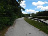
From the parking lot, take the road that branches off the main road to the north-west, with signs for Tromejnik. At first, the road descends moderately on the asphalt road, but then the road is laid and leads you out of the forest. A little further on we reach the village Trdkova, where we start a gentle climb, passing a few houses and the bell tower in Trdkova during the climb.
From the crossroads behind the bell tower, go slightly right, followed by a short easy descent. The path ahead begins to climb again and splits at a bench.
A path branches off to the left, a few steps long, to the Eucharistic Cross, and we continue straight on towards the three-way street. At first we are still walking on the asphalt road, but after the last houses the road turns into a worse macadam road. The path continues past a hunting observation post and into the woods, where it turns into cart track. Through the forest, follow the markings and the path begins to descend crosswise. Lower down, the path lays down and joins a dirt road a little further on, where it merges with a more frequented path.
Continue right and in a few minutes you will climb to Tromejnik, which is located on the tri-border between Slovenia, Austria and Hungary.
Description and pictures refer to the situation in August 2021.

Pictures:
 1
1 2
2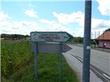 3
3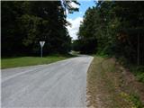 4
4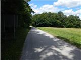 5
5 6
6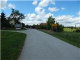 7
7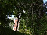 8
8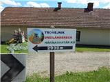 9
9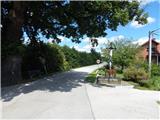 10
10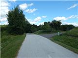 11
11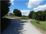 12
12 13
13 14
14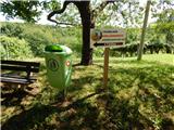 15
15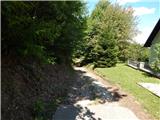 16
16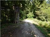 17
17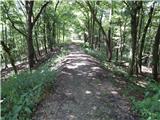 18
18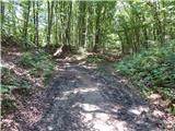 19
19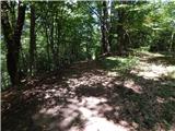 20
20 21
21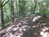 22
22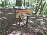 23
23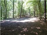 24
24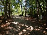 25
25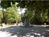 26
26
Discussion about the trail Martinje (sports center Martinje) - Tromejnik / Dreiländerecke / Harmashatar