Masseris - Monte Mataiur/Matajur
Starting point: Masseris (760 m)
| Lat/Lon: | 46,1825°N 13,5527°E |
| |
Time of walking: 2 h 30 min
Difficulty: easy marked way
Altitude difference: 882 m
Altitude difference po putu: 882 m
Map: Julijske Alpe - zahodni del 1:50.000
Recommended equipment (summer):
Recommended equipment (winter): ice axe, crampons
Views: 10.953
 | 1 person likes this post |
Access to the starting point:
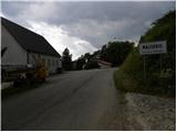
From the Tolmin - Kobarid road, a steep road branches off to the left (from Kobarid to the right) in Idrsko towards the village of Livek. Take the road which, after a climb of about 5 km, leads to the village. Continue driving along the narrowing road leading to Itali. On the other side of the border, the road starts to descend and we follow it through the villages of Polava / Polava and Cepletische / Cepletischis to a slightly larger crossroads, where we continue to the right in the direction of the village of Monte Mataiur / Montemaggiore and the Rifugio Pelizzo mountain hut. Follow the road, which climbs quite steeply, in the direction of the mountain hut, and we follow it only as far as the beginning of the village of Massera / Masseris. Just after the sign marking the beginning of the village, you will see a suitable parking space on the left-hand side of the road.
Path description:
Continue along the asphalt road that leads through the village and after about 100 metres you will see signs on the right hand side of the road, directing you to the right past the houses and then into the forest. You will continue to climb through the forest for some time, and along the way you will also see some remains from the First World War. This path then leads to a crossroads, where the path from Cepletischis joins the path from Cepletischis on the right, following the cart track.
Continue following the Monte Monte Mataiur marker and, after climbing mostly through the forest, join the mountain road.
Continue to the right and follow the road for a short distance before signs direct you left into the forest. Then climb back up the track, which is mostly through the forest, occasionally crossing a few forest clearings with lots of raspberries growing along the way. The trail continues along a mostly military-style mulatier, which leads us to another crossroads in the last part. To the left, the path leads towards the Pelizzo hut, and we continue to the right, following the Matajur signs. When the mulatier ends, continue on the path slightly to the right and start climbing up the mostly grassy slope. This path leads us to a ridge where the path from Slovenia joins from the right.
At the ridge, continue left and start climbing up a wide, gently sloping ridge. Follow this path, which leads us along increasingly beautiful views, to the Monte Mataiur summit, which we can already see in front of us.

Pictures:
 1
1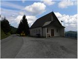 2
2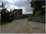 3
3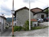 4
4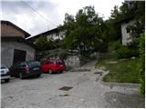 5
5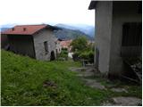 6
6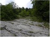 7
7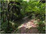 8
8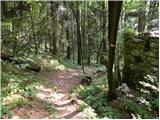 9
9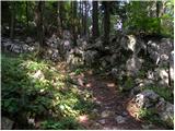 10
10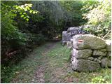 11
11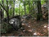 12
12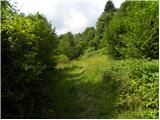 13
13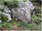 14
14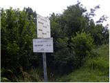 15
15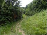 16
16 17
17 18
18 19
19 20
20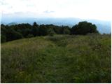 21
21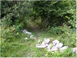 22
22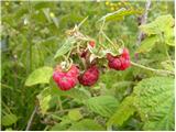 23
23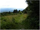 24
24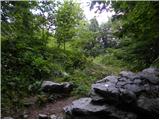 25
25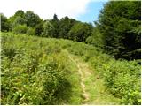 26
26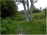 27
27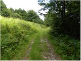 28
28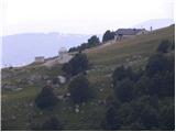 29
29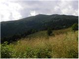 30
30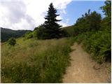 31
31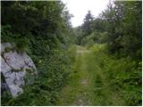 32
32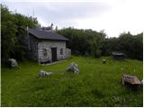 33
33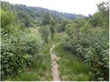 34
34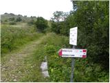 35
35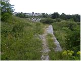 36
36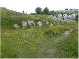 37
37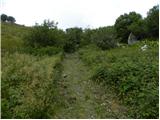 38
38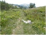 39
39 40
40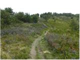 41
41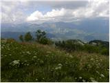 42
42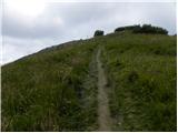 43
43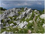 44
44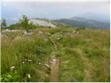 45
45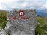 46
46 47
47
Discussion about the trail Masseris - Monte Mataiur/Matajur