Starting point: Matke (450 m)
| Lat/Lon: | 46,2011°N 15,1215°E |
| |
Time of walking: 2 h 30 min
Difficulty: easy marked way
Altitude difference: 672 m
Altitude difference po putu: 672 m
Map: Posavsko hribovje - zahodni del 1:50.000
Recommended equipment (summer):
Recommended equipment (winter):
Views: 33.698
 | 2 people like this post |
Access to the starting point:
From the Ljubljana - Celje motorway, take the Šempeter exit and follow the road towards Šempeter. In Šempeter, turn right towards the village Šešče pri Preboldu and continue towards the village Matke. When you reach Matke, continue along the stream to the crossroads where it says Matke left and right (house numbers 56 on the left, 55 on the right). Here, continue left (straight ahead) and follow the road until you reach the roadside parking area near the bee farm.
Path description:
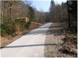
From the parking lot, continue along the asphalted road, but only to the point where the road crosses a small stream. Here you continue straight on, following cart track, which climbs alongside a stream full of tyres. Cart track then crosses the stream and, after this, climbs quite steeply to a house, at which you get on the road. It is then a 10-minute walk to a fork in the trail (here you will see the first signposts and markings), where you continue to the right in the route Mrzlica. After a further few dozen metres, you will reach a house where signs point you left on the footpath. Continue up the cart track, which goes into the wods and leads out of the wods, past a beautifully decorated chapel, to a small hamlet. The ascent continues along the marked cart track, which leads us in a moderate ascent to the following houses, at which we step onto the road. The road, which climbs gently over the grassy slopes, leads us slightly higher, to the last house, at which there is a crossroads.
After the house, continue right up towards Mrzlica, following cart track, which turns left and climbs across the grassy slopes. Leave the pleasant cart track at a point where a footpath branches off to the right and climbs steeply across the upper part of the meadow. The path then goes into the wods and joins the Šmohor - Mrzlica trail. Continue right, initially following cart track, which soon turns into a steep footpath which is followed all the way to the house on Mrzlica. From home to the top, it is less than 5 minutes' climb.

Pictures:
 1
1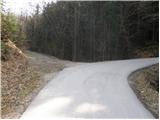 2
2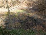 3
3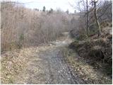 4
4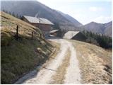 5
5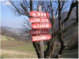 6
6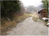 7
7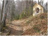 8
8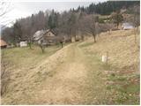 9
9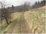 10
10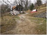 11
11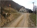 12
12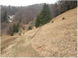 13
13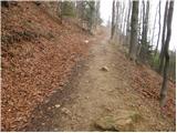 14
14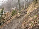 15
15 16
16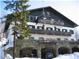 17
17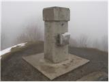 18
18
Discussion about the trail Matke - Mrzlica
|
| garmont2. 12. 2020 |
Pot je od kapelice ( slika št.8 ) čez gozd, zaradi spravila lesa, do daljnega zaprta.
|
|
|
|
| Majmr14. 05. 2021 21:21:02 |
Bilo bi treba prenoviti Slike in čas do vrha , ki je 1h 30min. Obstajata pa se tudi 2 različici te poti ena je pri križišču desno, druga pa po cesti do sedla in tako se lahko izognemo blatu v "grabnu".
|
|
|