Medvodje - Stegovnik (on road and through window)
Starting point: Medvodje (898 m)
| Lat/Lon: | 46,4096°N 14,4016°E |
| |
Name of path: on road and through window
Time of walking: 3 h 15 min
Difficulty: easy unmarked way, partly demanding marked way
Altitude difference: 794 m
Altitude difference po putu: 825 m
Map: Karavanke - osrednji del 1:50.000
Recommended equipment (summer): helmet
Recommended equipment (winter): helmet, ice axe, crampons
Views: 6.321
 | 1 person likes this post |
Access to the starting point:
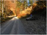
From the Ljubljana - Jesenice motorway, take the Podnart (Ljubelj) exit, then continue on the expressway towards Ljubelj and Tržič. When the expressway ends, you will see a petrol station on the right hand side, before which turn right down towards Tržič. Continue through Tržič, and we follow the narrower road towards Dovžana Gorge and then through the villages of Dolina and Jelendol to the hamlet of Medvodje. Here, at the first crossroads, turn right towards Stegovnik waterfall (left Košutna and mountain pasture Dolga njiva), and at the second crossroads, turn left along the Tržiška River Bistrica (right Stegovnik waterfall). Continue ascending gently along the upper reaches of the Tržiška Bistrica, and we follow the road to a marked parking area, where we park.
Path description:
From the parking lot, continue along the gently sloping road that climbs along the Tržiška Bistrica river. Soon you will reach a ramp, after which you will come to an unmarked crossroads. Here, continue along the right-hand road, which begins to climb along the Fevča stream, leaving it at the first sharp right-hand bend. The road, which becomes a little steeper, gives a temporary view of Koschutnikturm, then turns left and crosses the lane of the forest. The road then, with a view of Dobrča and the nearby Stegovnik, leads to the next crossroads, where you continue straight on (the right-hand road circles the nearby Beech Top). Continue walking along the road and after a few minutes you arrive at the next crossroads. This time continue straight on (sharp right road circling Bukov vrh, left Stegovnik via the saddle Pri lojtri, Ruš and Veliki vrh) along the road, which climbs quite gently to the right at first, then slowly begins to descend. After a few minutes of easy descent, the road starts to climb again, and at a sharp right turn it crosses the Stegovnik stream. On the other side of the stream, the approach past Stegovnik waterfall joins us imperceptibly from the right, and we arrive at the next unmarked crossroads just a little higher up.
At this crossroads, continue left and ascend along a moderately steep road from which we get a nice view of Stegovnik. Cross two more streams, then reach the next crossroads, where you continue along the right-hand road. A little further on, you reach a widening of the road, or a kind of turn-off. Leave the road here and continue left along the initially quite wide cart track, which continues through the forest for some time. The forest thins out or breaks off completely in a few places, and cart track takes you past a few small crossroads. In all cases, the "main" cart track continues, and we follow it to its end, with occasional views. When the cart track ends, we continue to the right on the easier pathless world. In less than 5 minutes of ascent along the trackless path you will reach the marked path mountain pasture Javornik - Stegovnik. Follow the marked trail to the left, which quickly leads to a crossroads, where the path from the lakeside (the path from Dolo and the eastern path from Doma pod Storžičem) joins us from the right. Just after the crossroads, the slope becomes quite steep, and the path leads us to the first jeklenice, with the help of which we enter the window in Stegovniku. In the middle of the window, a passage opens to the left towards another window, which is reached by a short ladder, and from there you continue to the right through a smaller window, after which you reach the other side of the ridge.
On the other side of the window, a short rope descends to the slope, which is then climbed quite steeply. The steep path continues below the cliffs (danger of falling rocks) and then gradually leads to the main ridge of Stegovnik. Here the path turns to the left and, with increasingly beautiful views, ascends to the south-western headland, from which there is a short, undistinguished descent along a sometimes narrow ridge. The path continues along a very scenic and in some places precipitous ridge, which takes a few minutes of gentle ascent to reach the 1692-metre summit.

Pictures:
 1
1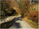 2
2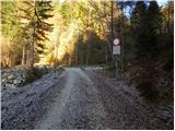 3
3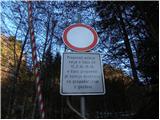 4
4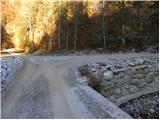 5
5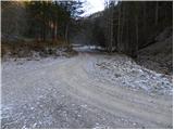 6
6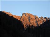 7
7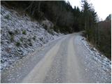 8
8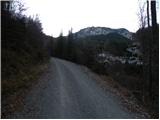 9
9 10
10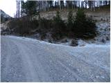 11
11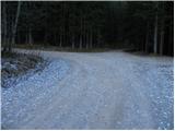 12
12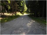 13
13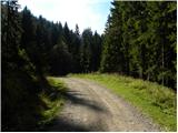 14
14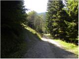 15
15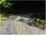 16
16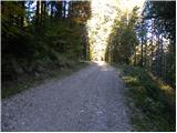 17
17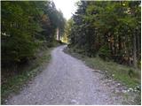 18
18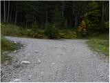 19
19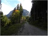 20
20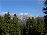 21
21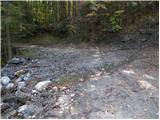 22
22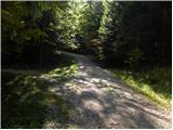 23
23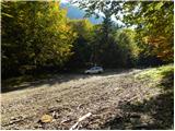 24
24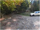 25
25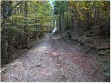 26
26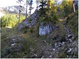 27
27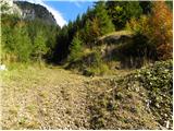 28
28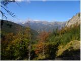 29
29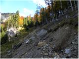 30
30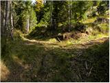 31
31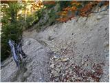 32
32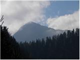 33
33 34
34 35
35 36
36 37
37 38
38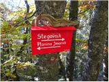 39
39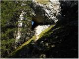 40
40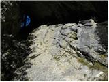 41
41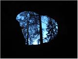 42
42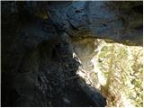 43
43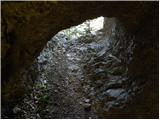 44
44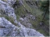 45
45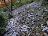 46
46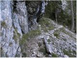 47
47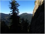 48
48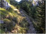 49
49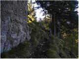 50
50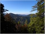 51
51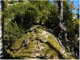 52
52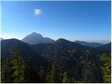 53
53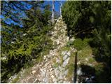 54
54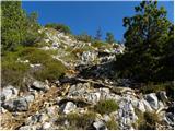 55
55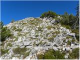 56
56 57
57 58
58 59
59 60
60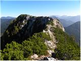 61
61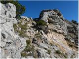 62
62 63
63 64
64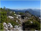 65
65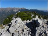 66
66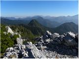 67
67
Discussion about the trail Medvodje - Stegovnik (on road and through window)