MHE Zali potok - Planina Zali potok
Starting point: MHE Zali potok (799 m)
| Lat/Lon: | 46,4044°N 14,3685°E |
| |
Time of walking: 40 min
Difficulty: easy unmarked way
Altitude difference: 233 m
Altitude difference po putu: 233 m
Map: Karavanke - osrednji del 1:50.000
Recommended equipment (summer):
Recommended equipment (winter):
Views: 698
 | 1 person likes this post |
Access to the starting point:
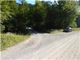
Drive to Tržič, then drive through Dovžanovo gorge and Dolina to Jelendol. In Jelendol at Borna manor house, continue straight on, then follow the main road to the next forest road turn-off to the left, which is located by the Zali potok Hydroelectric Power Station. Park in a suitable place at the crossroads.
Path description:
From the main road, cross Tržiška Bistrica, then pass the MHPP building and continue along a relatively steep forest road. The road continues along the left side of the Zala Stream, a stream with two waterfalls higher up. Higher up, we reach the lower edge of the mountain pasture Zali brook, where the road ends, and we pass the first hut on the right.
The path continues along cart track, choosing the wider cart track at the forks. After a few minutes, a fairly steep cart track joins from the left, passing the first hut on the left, and we continue along cart track to the next hut, which is located on mountain pasture Zali brook.
Description and pictures refer to the situation in 2017 (August).
Pictures:
 1
1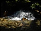 2
2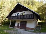 3
3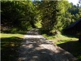 4
4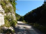 5
5 6
6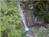 7
7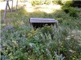 8
8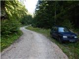 9
9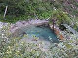 10
10 11
11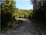 12
12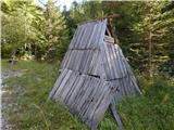 13
13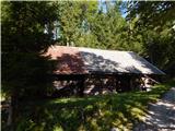 14
14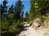 15
15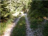 16
16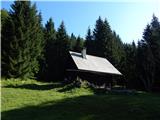 17
17
Discussion about the trail MHE Zali potok - Planina Zali potok