Mislinjski graben (Pestotnik) - Waterfall Lukov slap
Starting point: Mislinjski graben (Pestotnik) (846 m)
| Lat/Lon: | 46,4674°N 15,2694°E |
| |
Time of walking: 1 h 40 min
Difficulty: easy unmarked way
Altitude difference: 394 m
Altitude difference po putu: 410 m
Map: Pohorje 1:50.000
Recommended equipment (summer):
Recommended equipment (winter):
Views: 4.320
 | 2 people like this post |
Access to the starting point:
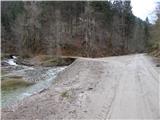
First, drive to Mislinja (to get here from Slovenj Gradec or Velenje), then continue driving in the direction of Mislinjske Jark. When Mislinja ends, the road continues along the Mislinja River. Higher up, at the confluence of the Glažuta and Mislinja, there is a crossroads at which you park. The Pestotnik homestead is located slightly above the confluence, and there is a small dam in front of the crossroads. In summer and when there is no snow, you can continue on and shorten the route as you wish.
Path description:
From the confluence, continue along the right-hand road, which continues to climb along the Mislinja River. After a few 10 metres, the road to the left branches off to the Pestotnik homestead, and we continue straight ahead and continue to climb moderately. Higher up, we reach the next, this time marked, crossroads, from where we continue straight on in the direction of Roga and the Commission (the right road leads to Tolste Vrh nad Mislinjo). Shortly after the crossroads, the road turns sharp left and gradually moves away from the river Mislinja, and a little higher up leads out of the forest to Spodnja Komisija, where there is a crossroads by some houses, from which you continue right (straight towards Glažut). Spodnja Komisija soon ends, and the road continues to climb crosswise to the right. At the left turn, the PP7 trail joins us from the right, and we follow the road to the former shepherd's village Zgornja Komisija, where we also leave the wider macadam road and continue to the right, on the narrower road that leads through the village to the last house.
From the last hut, where there is also a water trough, follow cart track into the forest. After a short climb, the cart track splits, and we choose the lower cart track (to the left, Rogla), which continues without any major changes in altitude.
There are also signs for Waterfall Lukov slap at the fork, which says it is 10 minutes away, but we will reach the waterfall in less than 5 minutes of further walking. The waterfall is to the right of the path and can be seen from top to bottom. There is no path to the base of the waterfall.
Description and pictures refer to the situation in 2016 (November).

Pictures:
 1
1 2
2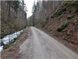 3
3 4
4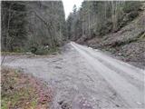 5
5 6
6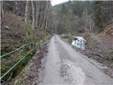 7
7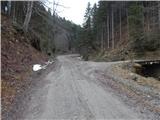 8
8 9
9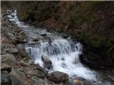 10
10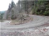 11
11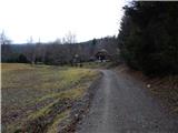 12
12 13
13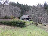 14
14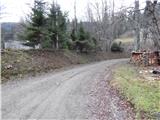 15
15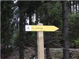 16
16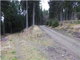 17
17 18
18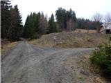 19
19 20
20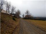 21
21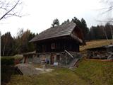 22
22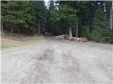 23
23 24
24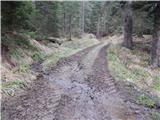 25
25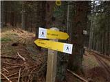 26
26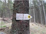 27
27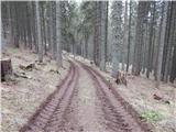 28
28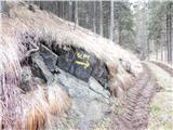 29
29 30
30
Discussion about the trail Mislinjski graben (Pestotnik) - Waterfall Lukov slap