Mojstrana - Drobeče Sleme
Starting point: Mojstrana (675 m)
| Lat/Lon: | 46,4552°N 13,9321°E |
| |
Time of walking: 4 h 15 min
Difficulty: easy unmarked way
Altitude difference: 1354 m
Altitude difference po putu: 1390 m
Map: Kranjska Gora 1:30.000
Recommended equipment (summer):
Recommended equipment (winter): ice axe, crampons
Views: 10.607
 | 4 people like this post |
Access to the starting point:
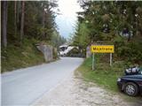
Leave the Gorenjska motorway at the Hrušica exit and follow the road towards Kranjska Gora. Just before the village of Dovje, the road branches off to the left and leads to Mojstrana (Vrata, Kot and Krma). Follow the road in the direction of the Vrata valley for a short distance, as you will soon see the mountain signs for Vrtaška mountain pasture along the road. Park in the parking lot along the road a few metres further on.
Path description:
From the parking lot, walk down the road a few metres, where a signpost directs you to a wide footpath. The path climbs moderately at first and in a few minutes leads to a crossroads, where you continue straight ahead (to the right, the path leads to the Grančišče lookout point).
Shortly afterwards, the path crosses a short muddy part of the path, then turns left and climbs steeply. The path ahead is steep and runs through the forest. After an hour and a half of walking, the steepness subsides and the path turns to avalanche slopes. Then we cross a wide artificial ledge guarded by a fence (the fence is for the belaying cattle), from which we have a beautiful view of the surrounding peaks. The path then returns to the forest for a while and climbs steeply again. A little higher up, the steepness eases, a pasture fence is crossed and within a few more minutes of walking you reach Vrtaška planina, where you see a shepherd's hut on the right, equipped with an emergency bivouac in the attic of the house.
The path continues across the meadow and then turns sharp left into the forest. The path through the forest climbs moderately and after 20 minutes' walk from mountain pasture leads to a larger clearing which we only cross. The path then returns to the forest, which is becoming increasingly sparse. The path, which is then relatively zložna us after a while leads to a nice vantage point from which we open a beautiful view.
There follows a short descent and then some crossing with a slight ascent to a large grassy slope below Vrtaški vrh, where we join the unmarked path from the Peričnik waterfall.
The path then turns slightly to the right and continues to climb gently across the meadow. A little higher up, the path changes from grassy slopes to the dwarf pines strip and begins to climb steeply. From the moderately steep path, surrounded by a belt of sparse larch forest, a view opens up towards Slemeen (2077 m). The otherwise marked path gradually begins to disappear, but in fine weather orientation is not difficult. The path then climbs steeply again and leads to a ridge where we see Špik and Kukova spica in front of us.
Continue right along the unmarked track (left Sleme) which, after a few steps, leads to the dwarf pines zone. The path through dwarf pines is clearly visible and leads us to the summit within 3 minutes of further walking. Mojstrana - Vrtaška planina 2:00, Vrtaška planina - Drobeče Sleme 2:15.

Pictures:
 1
1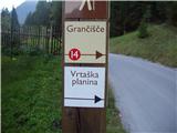 2
2 3
3 4
4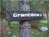 5
5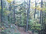 6
6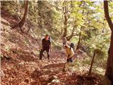 7
7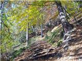 8
8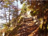 9
9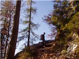 10
10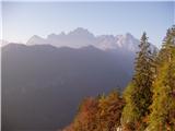 11
11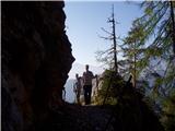 12
12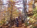 13
13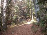 14
14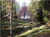 15
15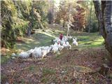 16
16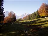 17
17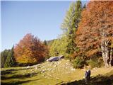 18
18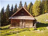 19
19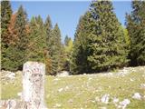 20
20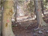 21
21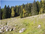 22
22 23
23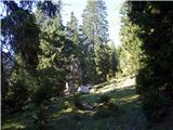 24
24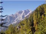 25
25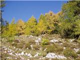 26
26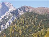 27
27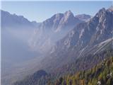 28
28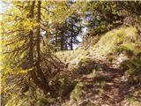 29
29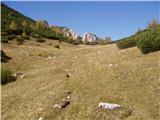 30
30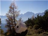 31
31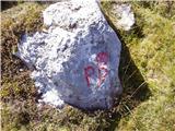 32
32 33
33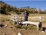 34
34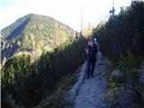 35
35 36
36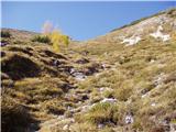 37
37 38
38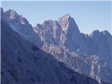 39
39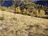 40
40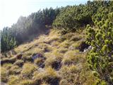 41
41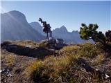 42
42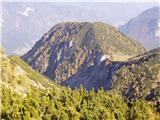 43
43
Discussion about the trail Mojstrana - Drobeče Sleme