Starting point: Mojstrana (675 m)
| Lat/Lon: | 46,4552°N 13,9321°E |
| |
Time of walking: 3 h 40 min
Difficulty: easy marked way
Altitude difference: 1223 m
Altitude difference po putu: 1255 m
Map: Kranjska Gora 1:30.000
Recommended equipment (summer):
Recommended equipment (winter): ice axe, crampons
Views: 30.494
 | 2 people like this post |
Access to the starting point:
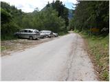
Leave the Gorenjska motorway at the Hrušica exit and follow the road towards Kranjska Gora. Just before the village of Dovje, the road branches off to the left and leads to Mojstrana (Vrata, Kot and Krma). Follow the road in the direction of the Vrata valley for a short distance, as you will soon see the mountain signs for Vrtaška mountain pasture along the road. Park in the parking lot along the road a few metres further on.
Path description:
From the parking lot, walk down the road a few metres, where a signpost directs you to a wide footpath. The path climbs moderately at first and in a few minutes leads to a crossroads, where you continue straight ahead (to the right, the path leads to the Grančišče lookout point).
Shortly afterwards, the path crosses a short muddy part of the path, then turns left and climbs steeply. The path ahead is steep and runs through the forest. After an hour and a half of walking, the steepness subsides and the path turns to avalanche slopes. Then we cross a wide artificial ledge guarded by a fence (the fence is for the belaying cattle), which opens up to a beautiful view of the surrounding peaks. The path then returns to the forest for a while and climbs steeply again. A little higher up, the steepness eases, a pasture fence is crossed and within a few more minutes of walking you reach Vrtaška planina, where you see a shepherd's hut on the right, equipped with an emergency bivouac in the attic of the house.
The path continues across the meadow and then turns sharp left into the forest. The path through the forest climbs moderately and after 20 minutes' walk from mountain pasture leads to a larger clearing which we only cross. The path then returns to the forest, which is becoming increasingly sparse. The path, which is then relatively zložna us after a while leads to a nice vantage point from which we open a beautiful view.
There follows a short descent and then some crossing with a slight ascent to a large grassy slope below Vrtaški vrh, where we join the unmarked path from the Peričnik waterfall.
The path then turns slightly to the right and continues to climb gently across the meadow. Pay attention here as the path to Vrtaški vrh branches off to the right.
The start of the path is marked, but it is not very visible across the meadow. Keep walking along the edge of dwarf pines and soon there is a nice track which leads to dwarf pines. The path now climbs moderately between dwarf pines. After about 15 minutes from the meadow, the path to the top branches off to the left. The path is marked but much less well graded than the one going straight ahead. From here to the top is only a three-minute walk.
Mojstrana - Vrtaška planina 2:00, Vrtaška planina - Vrtaški vrh 1:45.

Pictures:
 1
1 2
2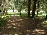 3
3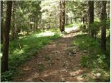 4
4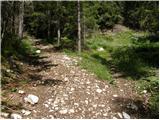 5
5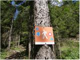 6
6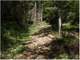 7
7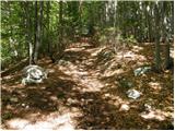 8
8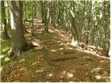 9
9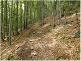 10
10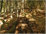 11
11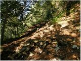 12
12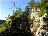 13
13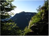 14
14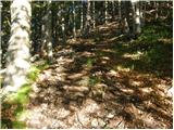 15
15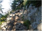 16
16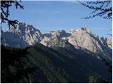 17
17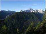 18
18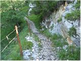 19
19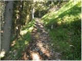 20
20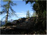 21
21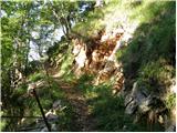 22
22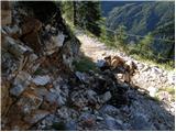 23
23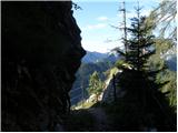 24
24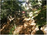 25
25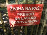 26
26 27
27 28
28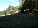 29
29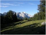 30
30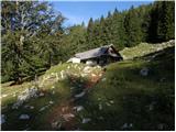 31
31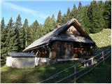 32
32 33
33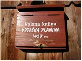 34
34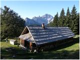 35
35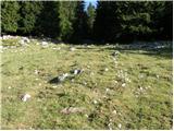 36
36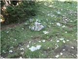 37
37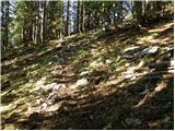 38
38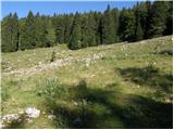 39
39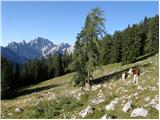 40
40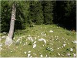 41
41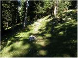 42
42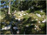 43
43 44
44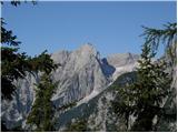 45
45 46
46 47
47 48
48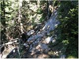 49
49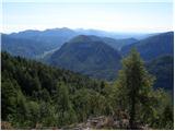 50
50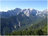 51
51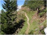 52
52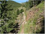 53
53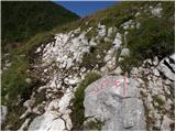 54
54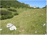 55
55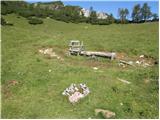 56
56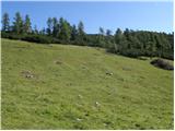 57
57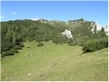 58
58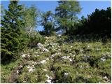 59
59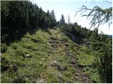 60
60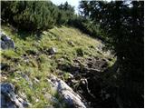 61
61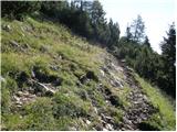 62
62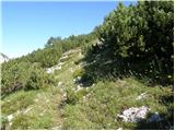 63
63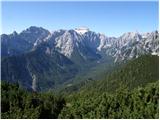 64
64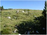 65
65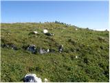 66
66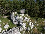 67
67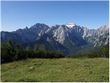 68
68 69
69
Discussion about the trail Mojstrana - Vrtaški vrh
|
| katty31. 12. 2012 |
Včeraj smo se iz meglene doline odpravili na ta, precej zapostavljen vrh  -vsaj po tukajšnjih objavah sodeč. Pot je sicer zgažena, a se med borovci kljub vsemu udira tudi tja do riti   . Razgledi na vrhu pa....nič ne bom napisala, kar odpravite se tu gor, vam bo kmalu vse jasno. Se splača  .
|
|
|
|
| gorjanci12. 03. 2013 |
Mi smo bili lani februarja. Sneg, sonce .....pogled proti Triglavu pa.....ne da se opisati. Popolna zimska idila. Smo pa rabili več kot 2 uri do planine. Kako je s potjo naprej, do Vrtaškega vrha, sedaj v zimskem času. Letos se odpravljamo 14.4. in imamo namen do vrha.
|
|
|
|
| misace19. 01. 2017 |
rtaški vrh v torek 17.1.2017 bil zgažen do razglednega ovinka pod planino. Naprej potegnil čez "kompaktno" grapo in od odcepa za Sleme mal po "labirintih" (držte se leve) in ovinkih na vrh. Elementi 
|
|
|
|
| Jusk12. 10. 2018 |
Sem bil danes popoldne prvic na tem vrhu,do planine res kar strma pot,naprej do vrha pa ni sile  res super razgledi celo pot 
|
|
|
|
| Jusk5. 06. 2020 |
Danes popoldne sem se na hitro odločil za obisk tega vrha ko je nehalo deževati  proti Vrtaški planini kar nekaj novih "stopnic" na strmih skalnatih delih poti,opazil sem da je tudi sveže markirana celotna pot tudi naprej proti Slemenu. Kljub oblačnosti so bili lepi razgledi celo pot 
|
|
|
|
| Majdag6. 06. 2020 |
Dobro, da ti vse pretečeš in smo na tekočem s spremembami na potkah. Hvala, Jusk.. 
|
|
|
|
| Jusk6. 06. 2020 |
Ni problema  sem pa daleč od tekača,samo hitro hodim 
|
|
|