Molnarjev breg - Planjava pri Kamniškem vrhu (via planina Osredek)
Starting point: Molnarjev breg (1200 m)
| Lat/Lon: | 46,2803°N 14,5359°E |
| |
Name of path: via planina Osredek
Time of walking: 1 h 15 min
Difficulty: easy marked way, easy unmarked way
Altitude difference: 43 m
Altitude difference po putu: 215 m
Map: Kamniške in Savinjske Alpe 1:50.000
Recommended equipment (summer):
Recommended equipment (winter): ice axe, crampons
Views: 2.170
 | 2 people like this post |
Access to the starting point:
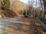
a) From the motorway Ljubljana - Jesenice take the exit Vodice, then continue to the first semaphore crossing in Vodice, where you turn left towards Cerkelj na Gorenjskem and Brnik. When you reach the main roundabout at Spodnji Brnik, continue driving in the direction of Cerkeliai and the ski resort Krvavec. At the end of Cerklje na Gorenjskem, leave the main road, which continues towards Velesovo and Visoke, and turn slightly right onto the road towards the ski resort Krvavec. Continue to the village of Grad, where signs for Ambrož pod Krvavcem direct you to the right on a steep asphalt road (straight ahead to the lower station of the round-cabin cable car to Krvavec and Štefanja Gora). When the steepness of the steep road eases slightly, you will come to a junction, where you will continue to the left in the direction of Ambrož pod Krvavcem (straight ahead to the settlements of Ravne, Apno and Šenturška Gora). A little further on, the road descends a little and then climbs over slopes that are sometimes quite scenic. Higher up, you reach Ambrož pod Krvavcem, where you pass the church of St Ambrose and the tourist farm Pr Ambružarju on the left. From the tourist farm onwards, the road passes into woods and climbs relatively steeply. When you reach the left-hand serpentine, you are at the starting point, where you can park at a suitable place, at a small crossroads.
b) From the motorway Jesenice - Ljubljana, take the exit Kranj - East, then continue towards Brnik, Komenda and Mengeš. When you reach the main roundabout at Spodnji Brnik, continue driving towards Cerkeliai and the ski resort Krvavec. At the end of Cerklje na Gorenjskem, leave the main road, which continues towards Velesovo and Visoke, and turn slightly right onto the road towards the ski resort Krvavec. Continue to the village of Grad, where signs for Ambrož pod Krvavcem direct you to the right on a steep asphalt road (straight ahead to the lower station of the circular cable car to Krvavec and Štefanja Gora). When the steepness of the steep road eases slightly, you will come to a crossroads, where you will continue to the left in the direction of Ambrož pod Krvavcem (straight ahead to the settlements of Ravne, Apno and Šenturška Gora). A little further on, the road descends a little and then climbs over slopes that are sometimes quite scenic. Higher up, you reach Ambrož pod Krvavcem, where you pass the church of St Ambrose and the tourist farm Pr Ambružarju on the left. From the tourist farm onwards, the road passes into woods and climbs relatively steeply. When you reach the left-hand serpentine, you are at the starting point, where you can park at a suitable place, at a small crossroads.
Path description:
From the starting point, follow the forest road that crosses the slopes of Molnar's Bank. Follow the road as it climbs slightly and then reaches a small crossroads where you continue slightly left along the upper road (the lower road or cart track soon ends), along which you can also see markings. There is a few minutes of cross-country climbing, along a road from which we occasionally get some views. A little further on the road splits again, and this time we take the upper left road, from which a steep cart track branches off to the left only a few 10 steps further on. Continue along the road, which you follow to the right-hand bend.
From the bend, continue straight ahead on a marked footpath which continues cross-wise through the woods. In the forest you quickly reach a marked crossroads where you continue downhill to the right in the direction of mountain pasture Osredek and Kamniški vrh (the upper path leads to Kamniški vrh and bypasses mountain pasture Osredek, but it is also possible to continue towards Kriška mountain pasture). A slightly steeper descent follows, then cross the road you have recently left and continue descending. Lower down in the forest, the path turns left and lays down. After a few minutes of crossing, you come out of the forest at mountain pasture Osredek, where there are a few wooden huts.
From the tents at mountain pasture continue eastwards, soon reaching the eastern edge of mountain pasture, where the marked trail from the village of Slevo and the unmarked trail leading by the Korošaški Falls join from the right.
Continue into the forest and start climbing up the initially quite steep slope. Higher up, we reach a ridge where we join a path on the left which bypasses mountain pasture Osredek.
Continue to the right (to the left of our starting point and Kriška planina) along the path that runs along the north side of the ridge. After a short crossing, the marked path approaches the ridge, and we leave it at this point and climb up the ridge in a few steps (slightly to the left, the marked path leading to Kamniški vrh).
After a few minutes of climbing, on a path that continues along the increasingly visible ridge Planjava, we reach the partly grassy summit.

Pictures:
 1
1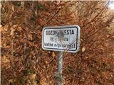 2
2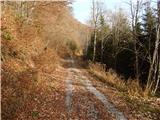 3
3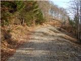 4
4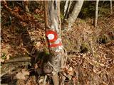 5
5 6
6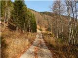 7
7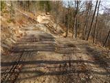 8
8 9
9 10
10 11
11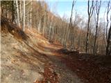 12
12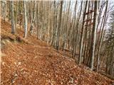 13
13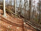 14
14 15
15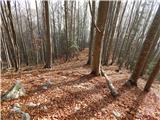 16
16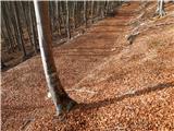 17
17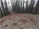 18
18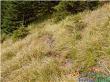 19
19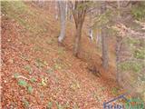 20
20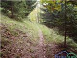 21
21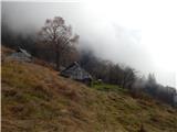 22
22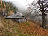 23
23 24
24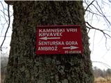 25
25 26
26 27
27 28
28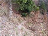 29
29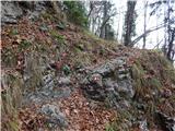 30
30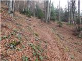 31
31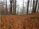 32
32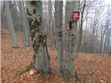 33
33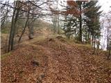 34
34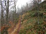 35
35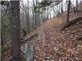 36
36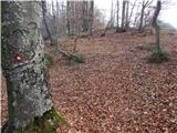 37
37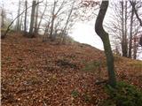 38
38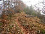 39
39 40
40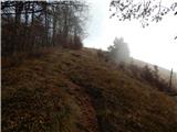 41
41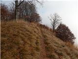 42
42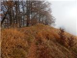 43
43
Discussion about the trail Molnarjev breg - Planjava pri Kamniškem vrhu (via planina Osredek)
|
| anica.zu22. 10. 2024 20:25:11 |
Danes sem nameravala iz Kamniškega vrha in Planjave na planino Osredek in dol v Slevo, pa ni nikjer nobene oznake za planino Osredek. Sem obrnila in šla nazaj na Planjavo od dol. Tudi sicer zelo slabo označeno ali pa sploh ne.
|
|
|
|
| garmont23. 10. 2024 07:57:46 |
Pot preko Planjave ni markirana. Označena pot se vrhu izogne po severni strani. Da pa iz Planjave nisi našla pot naprej proti Osredku, mi pa ni jasno. Saj je edina… 
|
|
|
|
| anica.zu23. 10. 2024 08:50:13 |
Šla sem po markirani poti proti Ambrožu, precej daleč (mnogo dlje od razcepa poti na Krvavec in Ambrož), pa nikjer nobene tablice ali puščice, kakšne stezice ali kaj podobnega.
|
|
|
|
| garmont23. 10. 2024 12:20:29 |
Odcep za Osredek je cca 10 minut iz vrha Planjave. Levo dol v gozd.
|
|
|
|
| Pastirica23. 10. 2024 16:56:17 |
Še slika mesta, ki ga opisuje garmont. Kjer stoji pes, bi morala zaviti levo navzdol.
Slikano je pri hoji navzgor iz smeri Osredka (leta 2022 ) - desno na Planjavo, levo proti Krvavcu.
Res pa je, da so markacije okrog Osredka močno zbledele.
lp
|
|
|
|
| Pastirica23. 10. 2024 16:58:09 |
Ups, slika pa tu ne bo šla.
|
|
|
|
| Pastirica24. 10. 2024 19:09:09 |
Preverila danes na terenu. Smerne table s slike 33 ni več. Pot levo navzdol je sicer dobro vidna, niso pa vidne markacije prav s križišča. Potrebno je sestopiti par korakov, da zagledaš prvo.
|
|
|