Moravske Toplice - Rotunda of St. Nikolaj (Selo)
Starting point: Moravske Toplice (190 m)
| Lat/Lon: | 46,6851°N 16,21835°E |
| |
Time of walking: 2 h 45 min
Difficulty: easy marked way
Altitude difference: 61 m
Altitude difference po putu: 300 m
Map: Pomurje 1:40.000
Recommended equipment (summer):
Recommended equipment (winter):
Views: 450
 | 2 people like this post |
Access to the starting point:
a) Exit the Pomurje motorway at exit Gančani, then follow the signs for Bogojina and Moravske Toplice. At Bogojina turn left and drive to Moravske Toplice, where you can park in one of several car parks.
b) Take Murska Sobota and then follow the signs for Moravske Toplice. When you arrive at Moravske Toplice, park in one of the car parks in the centre of the village.
Path description:
From the parking lot, walk to the Evangelical Church in Moravske Toplice, then continue along the pavement towards Dobrovnik, and walk along the main road only to the first crossroads, where you will turn left after the Lanen flower shop, where you will also be directed by signs. Continue straight ahead to the end of the street, then go left towards the Vivat spa (the marked path to Bogojina continues on the right). At the spa, the road turns slightly to the right, and at the end of the settlement, continue straight ahead. Continue along the macadam road, which leads between the fields, and when you reach a slightly wider macadam road, turn right (Martjanci and Murska Sobota on the left).
The road continues to climb for some time, barely noticeably, but when you reach the forest, it becomes steeper. The slightly steeper part is short, then there is a longer, steeper climb, mostly through the forest. Higher up, the forest ends and the road becomes asphalted, leading to the village of Ivanovci, where we arrive at a partially marked crossroads.
Continue right up the Pomurska mountain trail (straight ahead Kančevci), where you pass a few houses and get a nice view of the chapel in Zgornji Moravci. There is a slight downhill, then a moderate climb to a marked crossroads, where you continue slightly left. After the crossroads, climb a little more and you will reach a slightly wider road, which you can only cross (on the left the carriageway to Fokovci and Sel, on the right the chapel in Zgornji Moravci and Moravske Toplice on the carriageway).
After the crossroads, descend a little and quickly reach the next crossroads, where you go left in the direction of the Pomurska mountain trail. There is an easy cross-descent, and at a small hamlet go right before the houses down to cart track, which is followed more visibly downhill. Lower down, cart track lays down and leads to a hunting observation post, after which you start to climb up the grassy cart track. Higher up, take the cart track to the left into the woods, following the markings, and soon reach another cart track, which you follow to the left, climbing moderately for a few more minutes. When you reach the tarmac road, bear right and descend gently for a few steps, then bear hard left onto a dirt track, which you immediately leave and bear right down towards the edge of the forest. At the edge of the forest, the path becomes more distinct, but also overgrown, especially in summer. The overgrown part is short, and the path then leads into the forest, where you follow the markings, but there is no special path in the forest. There is a few minutes of descent through the forest, and lower down we reach cart track, which we follow in the direction of the markings, which quickly leads us to a dirt road, which we follow to the left. The road initially leads us across a meadow, but as it begins to climb it turns into a forest. Climb through the forest for a few minutes, and when the forest ends, you will arrive at a nearby house, after which go left in the direction of Rotunda. Continue along the asphalt road, which begins to descend and quickly leads to the next crossroads, where you cross another road crosswise to the right. Continue descending and when you reach the main road, follow it to the right (left Murska Sobota). Walk along the main road, from which you can already see the Rotunda of St Nicholas, to the tourist information centre, where you take a sharp left onto a walking path that leads you in a few minutes to the Rotunda in Sel.
The description and figures refer to the situation in February 2022.

Pictures:
 1
1 2
2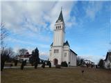 3
3 4
4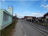 5
5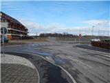 6
6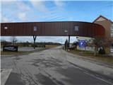 7
7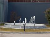 8
8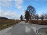 9
9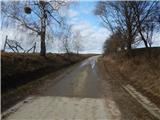 10
10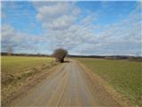 11
11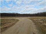 12
12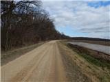 13
13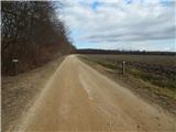 14
14 15
15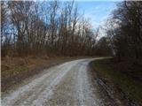 16
16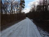 17
17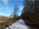 18
18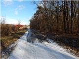 19
19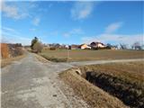 20
20 21
21 22
22 23
23 24
24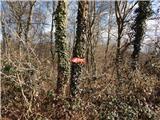 25
25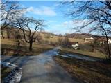 26
26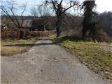 27
27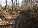 28
28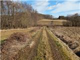 29
29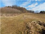 30
30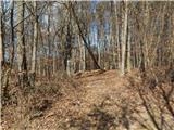 31
31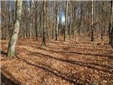 32
32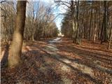 33
33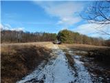 34
34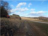 35
35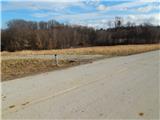 36
36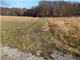 37
37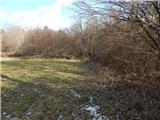 38
38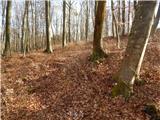 39
39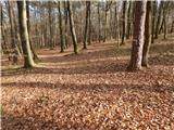 40
40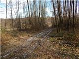 41
41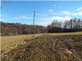 42
42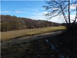 43
43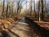 44
44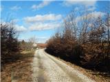 45
45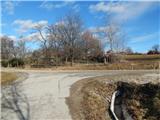 46
46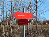 47
47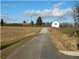 48
48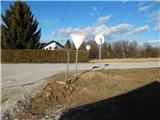 49
49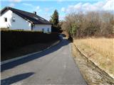 50
50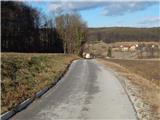 51
51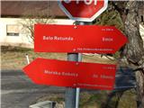 52
52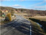 53
53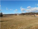 54
54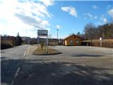 55
55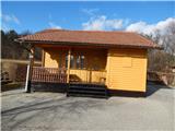 56
56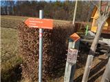 57
57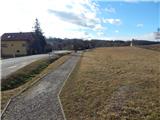 58
58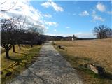 59
59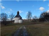 60
60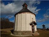 61
61
Discussion about the trail Moravske Toplice - Rotunda of St. Nikolaj (Selo)