Starting point: Možjanca (689 m)
| Lat/Lon: | 46,2945°N 14,4507°E |
| |
Time of walking: 10 min
Difficulty: easy unmarked way
Altitude difference: 31 m
Altitude difference po putu: 35 m
Map: Karavanke - osrednji del 1:50.000
Recommended equipment (summer):
Recommended equipment (winter):
Views: 843
 | 1 person likes this post |
Access to the starting point:
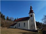
a) From Cerkelj na Gorenjskem, Šenčur or Kranja drive to Preddvor. When you reach the main road Kranj - Jezersko, follow it towards Jezersko, then turn right towards Možjance before Tupaliče. At Tupaliče turn right again, then follow the ascending road to Možjanca, where you can park in a suitable place near the church of St. Nicholas or just above it at the ecological island.
b) From Zgornje Jezersko take the main road towards Kranj. When you reach the crossroads where the road to Preddvor branches off to the right, continue straight on, then take the first left. After a short climb, the road levels off, then at the marked crossroads continue left in the direction of Možjanka. Then climb up to Možjanca, where you can park in a suitable place near the church of St. Nicholas or just above it at the ecological island.
Path description:
From the church, follow the road up to the crossroads by the ecological island, where you continue left in the direction of the viewpoint (Kopa, Davovec and Krvavec on the right). Then climb up to the weekend village, where you leave the road and continue slightly left on cart track in the direction of the Jamna peč viewpoint. Follow the easy walk along cart track, then go left and quickly reach the viewpoint, where there is a risk of slipping, especially in the snow.
Pictures:
 1
1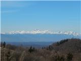 2
2 3
3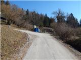 4
4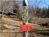 5
5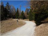 6
6 7
7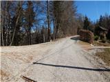 8
8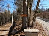 9
9 10
10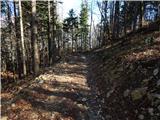 11
11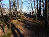 12
12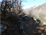 13
13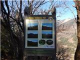 14
14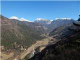 15
15
Discussion about the trail Možjanca - Jamna peč