Starting point: Možjanca (689 m)
| Lat/Lon: | 46,2945°N 14,4507°E |
| |
Time of walking: 1 h 25 min
Difficulty: easy unmarked way
Altitude difference: 222 m
Altitude difference po putu: 300 m
Map: Karavanke - osrednji del 1:50.000
Recommended equipment (summer):
Recommended equipment (winter): ice axe, crampons
Views: 2.380
 | 1 person likes this post |
Access to the starting point:
a) From Cerkelj na Gorenjskem, Šenčur or Kranja drive to Preddvor. When you reach the main road Kranj - Jezersko, follow it towards Jezersko, then turn right towards Možjance before Tupaliče. At Tupaliče turn right again, then follow the ascending road to Možjanca, where you can park in a suitable place near the church of St. Nicholas or just above it at the ecological island.
b) From Zgornje Jezersko take the main road towards Kranj. When you reach the crossroads where the road to Preddvor branches off to the right, continue straight on, then take the first left. After a short climb, the road levels off, then at the marked crossroads continue left in the direction of Možjanka. Then climb up to Možjanca, where you can park in a suitable place near the church of St. Nicholas or just above it at the ecological island.
Path description:
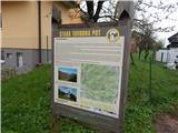
From the Church of St. Nicholas on Možjanca, climb 10 steps to the crossroads by the ecological island, and from there continue to the right in the direction of Kopa, Davovec and Krvavec (lookout point on the left). Continue along the macadam road, from which you will soon turn slightly right, onto the lower dirt track, which is also marked as an equestrian trail. Cart track, which then crosses the slopes to the right, quickly forks, and we take the upper track, along which is the next sign for the equestrian path. A little further on, the lower path also returns to our route, and the track then crosses the slopes to the right for a while, and at the crossroads we follow the main path, or the one that seems to be the most well-trodden. After about 45 minutes' walk from the ecological island, you will reach the next marked crossroads, where you continue to the left in the direction of Kope (the equestrian path continues slightly to the right).
The trail continues on a flatter terrain, but at unmarked crossroads you still follow the better-trodden path. When you reach a wider track, it leads to an unmarked pass, where the next marked crossroads are.
This time, continue right on the narrower track (straight ahead Zapečnikova planina and Skutman via the aforementioned mountain pasture) towards Kope. The path continues to climb gently to moderately, and in between it leads us over several more unmarked crossroads, where we continue to follow the feel of the best-beaten track. Higher up, the path climbs slightly steeper and leads us in a cross-climb to a small saddle between Skutman on the left and Kopa on the right.
Continue left towards Skutman (Kopa on the right) on the path that continues along the ridge. From the crossroads onwards, the path initially continues without any major changes in altitude, then descends transiently, and then climbs steeply and leads us to the summit of Skutman within a minute or two of further walking.
The route is not marked, but is marked at a few crossroads.
Description and pictures refer to the situation in 2016 (April).

Pictures:
 1
1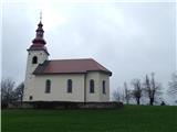 2
2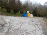 3
3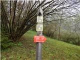 4
4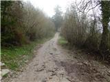 5
5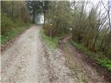 6
6 7
7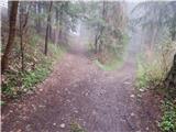 8
8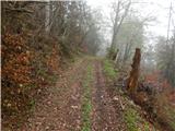 9
9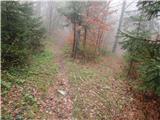 10
10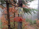 11
11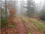 12
12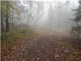 13
13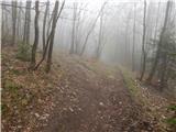 14
14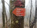 15
15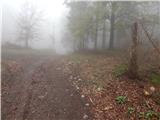 16
16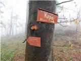 17
17 18
18 19
19 20
20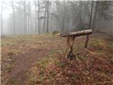 21
21 22
22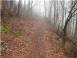 23
23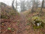 24
24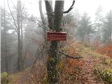 25
25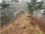 26
26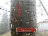 27
27 28
28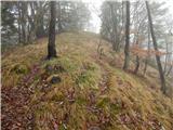 29
29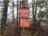 30
30
Discussion about the trail Možjanca - Skutman
|
| ijik3028. 04. 2016 |
Lepo opisano,manjka samo še opis poti od Skutmana naprej po grebenu dol na Zapečnikovo planino in krožno nazaj(križišče kjer sta dve rdeči tabli) na pot proti Štefanji gori ali Možjanci...LP Ivan
|
|
|
|
| ijik3017. 06. 2016 |
Odslej je na vrhu Skutman tudi vpisna knjiga...
|
|
|