Mrše - Sveti Socerb (Artviže)
Starting point: Mrše (749 m)
| Lat/Lon: | 45,5903°N 14,0389°E |
| |
Time of walking: 1 h
Difficulty: easy marked way
Altitude difference: 68 m
Altitude difference po putu: 115 m
Map:
Recommended equipment (summer):
Recommended equipment (winter):
Views: 19.324
 | 1 person likes this post |
Access to the starting point:
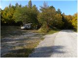
From the motorway Ljubljana - Koper, take the exit Hrpelje-Kozina and then continue in the direction of Ilirska Bistrica. Just after Materija, leave the main road and turn left onto the local road in the direction of Hotična, Mrše and Artviže. Continue along the narrower ascending road, which soon leads to a crossroads where the road to Hotična branches off to the left, and we continue to the right here and drive to the next crossroads, where we turn left towards Mršy and Artviže (Markovščina on the right). Continue ascending and the road leads to the next junction, where you go left again (right Orehek at Materija). Continue through Mrše, and we park shortly above the village in a convenient roadside parking place.
Path description:
From the starting point, follow the marked footpath in the direction of Artviž. The path, which initially follows cart track, immediately enters the forest, through which it continues for a few minutes with almost no change in altitude. After a good 5 minutes of walking, the signs direct us to the right to the slightly narrower cart track, which begins to climb gently and leads us almost completely to the nearby asphalt road. Continue parallel to the road, following the markings carefully, as you may quickly lose your way due to the heavi overgrowth. The path crosses a little higher up the weaker cart track, after which it climbs moderately, then lays down and leads us past some clearings to the wider cart track, where we take a sharp left. Continue briefly on the wide cart track and then, at the point where it starts to descend more visibly, take a sharp right (the branch is less well marked) onto the slightly narrower but marked cart track. From here we continue for a short distance through the forest or lane of bushes, and then the path past the hunting observation post leads us to a larger meadow, from which we have a fine view of the village of Artviže and the church of St. Socerba above it. Walk for a few minutes along the meadow, then the path leads to an asphalt road, which you quickly climb up to a crossroads in the immediate vicinity of the village of Artviže.
Here, continue left into the village and walk past the organic farm to the next crossroads, where you continue to the right (20 metres to the left is the registration box at Artviže).
From the centre of the village, continue along the asphalt road, which is not marked. At the crossroads, keep to the left (the turnoffs to the courtyard are overlooked), and the road quickly leads above the village, where the asphalt ends. The ascent continues on a grassy slope with a view, which takes a few minutes to reach the Church of St. Socerba, located on the highest peak of the Brkini Mountains.

Pictures:
 1
1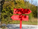 2
2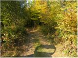 3
3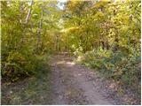 4
4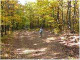 5
5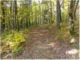 6
6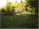 7
7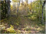 8
8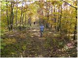 9
9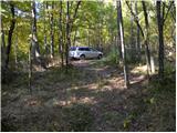 10
10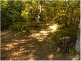 11
11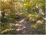 12
12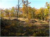 13
13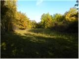 14
14 15
15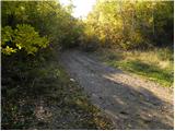 16
16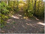 17
17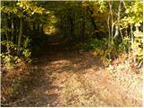 18
18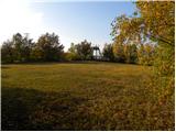 19
19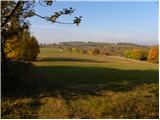 20
20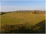 21
21 22
22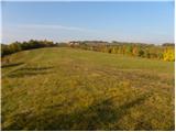 23
23 24
24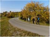 25
25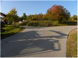 26
26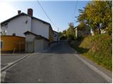 27
27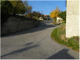 28
28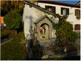 29
29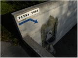 30
30 31
31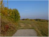 32
32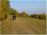 33
33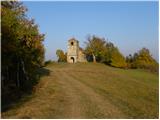 34
34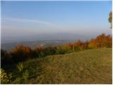 35
35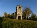 36
36
Discussion about the trail Mrše - Sveti Socerb (Artviže)
|
| B21. 11. 2011 |
Pot je del SPP, nova kontrolna točka pa je tudi Artviže (vpisna knjiga je v, žig pa je montiran na skrinjici).Za omenjeno novo KT in del SPP od Razdrtega do Vremščice in dalje v Škocjanske jame (nova KT SPP, žig je v recepciji in tudi na skrinjici zunaj, v skrinjici je tudi vpisna knjiga)ter v Podgrad pri Vremah in na Artviže ter Mrše in v Markovščino pa skrbi PD Sežana.
|
|
|
|
| smatjaz4. 05. 2013 |
Ali morda kdo ve kje točno se nahaja žig v Artvižah ? Hvala 
|
|
|
|
| julius4. 05. 2013 |
V skrinjici nasproti spomenika. Možno pa je, da so ga namstili pod skrinjico.
|
|
|
|
| B25. 05. 2013 |
Zgoraj sem napisal: "Vpisna knjiga je v, žig pa je montiran na skrinjici". - Že od tedaj, ko smo jo montirali...
|
|
|
|
| Šuška24. 05. 2015 |
Danes obiskala Artviže, štartala iz parkirišča, ki je na sliki. Naj samo povem, da so table zdaj ko je poraščeno z listjem slabo vidne, prav tako je slabo vidnih kar nekaj markacij v gozdu. Sicer pa pot primerna za vse in je lahko prav en tak lep nedeljski izlet. Žig za SPP pa je pri lastnikih v hiši nasproti stebra, kjer je vpisna skrinjica. 
|
|
|
|
| balon8. 06. 2016 |
Pozdravljeni, zanima me koliko je dolga tura, če pot od Artviž podaljšamo do Škocjanskih jam? In kje poteka ta pot? Balončki 
|
|
|
|
| pojoča travica8. 06. 2016 |
V smeri od Škocjanskih jam do Artviž je označeno 2uri 30min.V obratni smeri verjetno manj, ker greš navzdol. Pot poteka po gozdu, travniku, malo tudi po cesti. Iz Mrš prideš gor, potem pa greš na drugo stran dol, mimo kraja Podgrad pri Vremah. Lepo je.
|
|
|
|
| Kleemen23. 03. 2020 |
Na začetku poti iz Mrš do Artviž katastrofalno označena pot, veliko poti in skoraj nikjer nobene markacije. Tudi sredi vasi nobene oznake/markacije za spomenik/žig.
|
|
|
|
| padez24. 09. 2020 |
SPP od Markovscine do Skocjanskih jam je urejena in odlicno oznacena, tako z tablicami kot markacijami. Preverjeno, prehodil predvcerajsnji...
|
|
|
|
| NeH17. 04. 2021 10:28:14 |
Pot Mrše - Artviže je lepo označena ves čas. Res prijeten sprehod.
|
|
|
|
| rokeg29. 05. 2023 18:35:47 |
Danes prehojena pot od Markovščine. Pot gre večinoma res po cesti, zato sem sam šel skozi Hotično in mimo sv. Pantaleja, še na nekaj predvsem trnatih vrhov ob poti (Majnik (ta ni niti dostopen zaradi trnja), Tržič in Vrhe) in prišel na cesto pri sliki 1. Cesta naprej proti Artvižam je trenutno zaprta zaradi širitve, pot, ki vodi večinoma ob cesti pa je lepo označena, le na kakšnem odcepu je potrebno biti pozoren, da ne zaideš. Trikotni žig je na svojem mestu pri spomeniku na skrinjici, ovalni žig za SPP pa imajo v hiši nasproti vpisne skrinjice.
Kaj se pa s cerkvico sv. Socerba dogaja oz. okoli nje??? Cesta do vrha razrita in okoli cerkve vse skopano zaradi ceste, cerkev je ograjena in zgleda kot gradbišče, do nje se da le z druge (vzhodne) strani ali pa hodiš po travi mimo gradbišča.
Sestopil sem čež Žernjavce v eno res odmaknjeno dolino potoka Padež. Po sami dolini se je cesta precej vlekla. Vlak v Gornjih Ležečah pa mi je ušel, kljub resnemu "laufanju", pa ni imel nobene zamude. Nato pa je ušel še avtobus na križišču za omenjeno dolino...
|
|
|