Nagybakónak - Hubertus vadászház (Kőszikla szurdok ut)
Starting point: Nagybakónak (170 m)
| Lat/Lon: | 46,55372°N 17,04373°E |
| |
Name of path: Kőszikla szurdok ut
Time of walking: 45 min
Difficulty: difficult marked way
Altitude difference: 115 m
Altitude difference po putu: 140 m
Map:
Recommended equipment (summer): helmet
Recommended equipment (winter):
Views: 165
 | 1 person likes this post |
Access to the starting point:
Leave the Pince/Tornyszentmiklos - Budapest/Budapest motorway at the Nagykanizsa kelet/Kaposvár exit. At two roundabouts go in the direction of Kaposvár and at the third roundabout go in the direction of Zalakaros/Zalakomár. Continue on the above-mentioned road, but only until the Nagyrécse turn-off, where you go left. Continue through the village and after the village turn left towards Galambok and at the next crossroads turn right towards Nagybakónak.
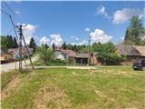
When you reach the village, you will see signs for Forrás, which will take you to a grassy parking area, where you park.
Path description:
From the parking lot, we continue westwards, and orientation is easy, as the huge TV tower, located just north of our destination, is clearly visible from the path. The road then passes between fields and the asphalt ends. A little further on, we reach a crossroads where the path by the springs branches off to the left, and we go right (there is another parking lot on the left).
The path continues along the fence, but only for about a hundred metres, and then we will see a green direction sign on a tree, where we go left into a meadow, where the path leads us past a hunting observation post (the markings in this part are in poor condition). When we get a little further into the thick woods, we are helped by a tourist board.
The path ahead leads to the Kőszikla hill, where it becomes technically challenging. After a short walk, we reach the first ladders, which take us down over a rock step, and up the next ladders. The path ahead leads us along a stream bed, where there are some fallen trees.
The most interesting part of the route follows, which is also the most technically difficult. The way forward leads us through a rocky chute, which is protected by a metal ladder, and when we climb to the top, the most difficult part of the trail is behind us.
The path continues on to cart track, and again we see a large transmitter tower in front of us.
Some people take a shortcut here, but we continue left on cart track, which leads us onto a wider dirt road. Here we join the path leading along the springs and one of the paths from the village Újudvar.
Continue to the right and you will come to an asphalt road, which you follow northwards. The path ahead leads past a crucifix. Leave the road when you see the signs for the hut, which point you slightly downhill. A two-minute walk later, you arrive at the hut, where the terrace offers a beautiful view to the west.

Pictures:
 1
1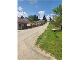 2
2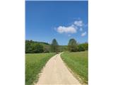 3
3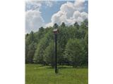 4
4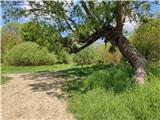 5
5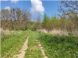 6
6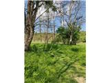 7
7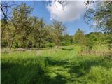 8
8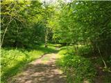 9
9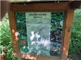 10
10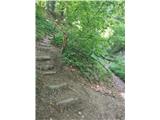 11
11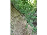 12
12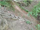 13
13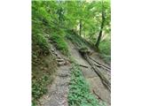 14
14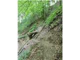 15
15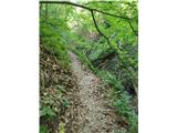 16
16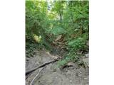 17
17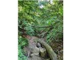 18
18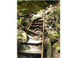 19
19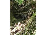 20
20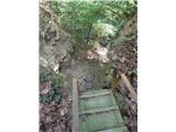 21
21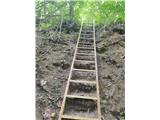 22
22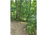 23
23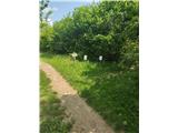 24
24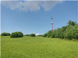 25
25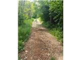 26
26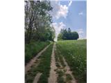 27
27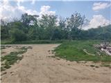 28
28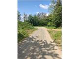 29
29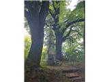 30
30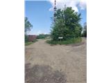 31
31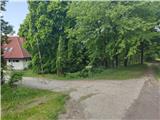 32
32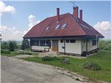 33
33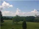 34
34
Discussion about the trail Nagybakónak - Hubertus vadászház (Kőszikla szurdok ut)