Nassfeld - Creta di Aip / Trogkofel (Via Ferrata Crete Rosse)
Starting point: Nassfeld (1540 m)
| Lat/Lon: | 46,5609°N 13,2758°E |
| |
Name of path: Via Ferrata Crete Rosse
Time of walking: 4 h 30 min
Difficulty: very difficult marked way
Altitude difference: 739 m
Altitude difference po putu: 810 m
Map: Tabacco 18
Recommended equipment (summer): helmet, self belay set
Recommended equipment (winter): helmet, self belay set, ice axe, crampons
Views: 10.143
 | 1 person likes this post |
Access to the starting point:
Cross the border crossing at Ratece and drive through Trbiž / Tarvisio, Ukve / Ugovizzo to Tablja / Pontebba, where you turn right after the signs "Passo di Pramollo / Nassfeld" (Wetlands in Slovenian). At the pass, drive past the lake to the Austrian side, where you park in a large parking lot.
Path description:
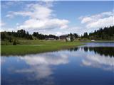
From the parking lot at the Mokrine/Nassfeld Pass, follow the dirt road after the Rosskofel and Trogkofel signs. After a few hundred metres, leave the road and the signs lead you left onto a track that leads through meadows and past an artificial lake for artificial snow. The path then passes through a sparse forest and crosses the ski area and numerous streams. Soon you come to a crossroads where signs direct you left onto a path that runs alongside the ski resort, climbs slightly steeper and leads you in 15 minutes to the road by the Tressdorfer hut.
At the crossroads, which is about 100 metres from the hut and from where there is a fine view towards our destination Creta di Aip, take the road to the right, which descends slightly. At the right-hand bend, leave the road and rejoin the footpath. The path continues to descend through a sparse forest and crosses a number of streams to reach a crossroads, where you turn right after the Trogkofel signs (route 413). Following a slightly overgrown path that runs alongside the streams, you reach a small mountain pasture and turn left onto the path that runs alongside the ski resort. The path climbs slightly steeper and after half an hour's walk over the ski slope you reach the border ridge between Itali and Austria, from where you have a very nice view of Creta di Aip, Konjski Spike / Monte Cavallo / Rosskofel and the Lomasti bivouac, which is only a few minutes' descent on the Italian side. At the border ridge, we turn right and the trail leads us again to the crossroads in gentle ascents and descents.
Turn left onto route 403 and after a few minutes' walk you will reach the entrance to the climbing route. The way forward is along an almost vertical gully and is protected by a rope. In a few places we can also use a few crampons to help us. In the upper part, the path is blocked by a large rock, so we have to climb under it. From the rock, where the registration book is, we have only a few metres to climb on the crampons and the climbing part of the route is behind us. From here on, the route is no longer difficult and we soon have beautiful views of the Austrian side. When the path from the Austrian side (Uiberlacher Steig), which is slightly less difficult, joins us from the right, we have only a few minutes to walk to the top on a sloping path.

Pictures:
 1
1 2
2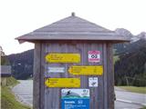 3
3 4
4 5
5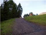 6
6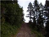 7
7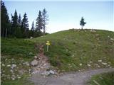 8
8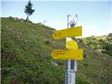 9
9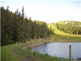 10
10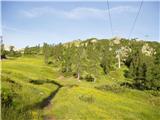 11
11 12
12 13
13 14
14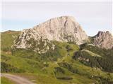 15
15 16
16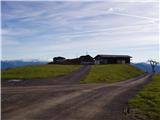 17
17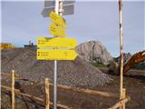 18
18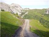 19
19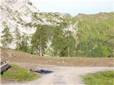 20
20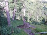 21
21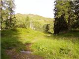 22
22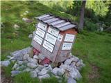 23
23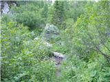 24
24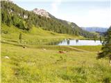 25
25 26
26 27
27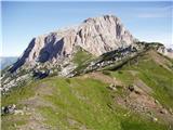 28
28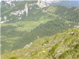 29
29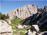 30
30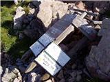 31
31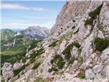 32
32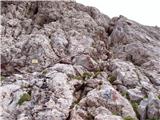 33
33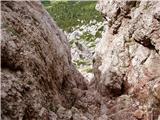 34
34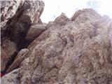 35
35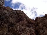 36
36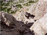 37
37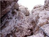 38
38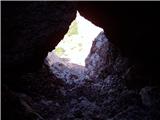 39
39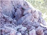 40
40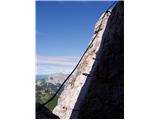 41
41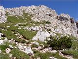 42
42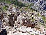 43
43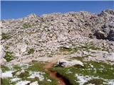 44
44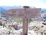 45
45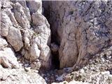 46
46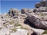 47
47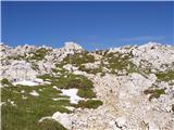 48
48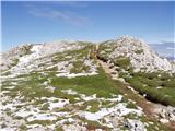 49
49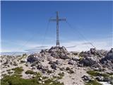 50
50
Discussion about the trail Nassfeld - Creta di Aip / Trogkofel (Via Ferrata Crete Rosse)
|
| trebez18. 11. 2014 |
Odlična tura,vendar sem jo opravil v celoti
z italijanske strani.Razgledi z vrha so čudoviti po skoraj celih Karnijskih Alpah.
Ferrata ni preveč zahtevna vendar je obvezen varovalni pas in seveda čelada!
|
|
|
|
| Robie3. 09. 2023 11:16:15 |
Višina po poti je cca 1500m, ferrata v dobrem stanju, pot proti vrhu pa malo težje sledljiva. Za spust pa priporočam pot - Uiberlacher Steig.
|
|
|