Nova Štifta - Koča na Kamnem griču
Starting point: Nova Štifta (624 m)
| Lat/Lon: | 45,7451°N 14,6631°E |
| |
Time of walking: 1 h 35 min
Difficulty: easy marked way
Altitude difference: 392 m
Altitude difference po putu: 480 m
Map:
Recommended equipment (summer):
Recommended equipment (winter):
Views: 5.971
 | 2 people like this post |
Access to the starting point:
Take the regional road from Ljubljana to Kočevje or vice versa. At the village Žlebič you will see signs for Nova Štifta and Sodražica, which will direct you to the right (from Kočevje and Ribnica to the left). Continue to the village of Lipovščica, where the sign for Nova Štifta will direct you left up the ascending road. Follow this road to the parking lot near the church in Nova Štifta.
Path description:
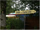
From the parking lot near the church, continue along the road towards Dom na Travna Gora. After a few dozen steps, the road leads to the first crossroads, where you continue straight on (left down, village Ravnik Dol). Continue walking on the folded macadam road, which leads past the quarry to the next crossroads, where you continue straight on the footpath (the footpath is located between the two roads). The way forward is initially moderate, then climbs relatively steeply through the dense forest. Higher up, the path crosses a forest road and rejoins it after a short climb. Here, continue left along the road, which you leave after a few dozen steps, as the signs direct you left to cart track. Cart track first climbs gently over a partly overgrown meadow and then leads to a chapel and a memorial to the National Liberation Monument. There is a short, gentle descent and the path leads back to a dirt road, which you follow to the left. Just a little further on, the road forks and we continue to the left along the lower road, which leads us within a two-minute walk to Doma na Travna Gora.
From the house, continue right across the meadow, where you will quickly reach another dirt road, which you will reach just at a small crossroads. From the crossroads, turn left along the dirt road, which continues without any significant change in elevation. The way forward leads us past the mountain signs, and we walk along the road from here for about 500 metres, or until we reach a place where signs in a parking area direct us to the right. After a few metres of walking, at the point where the path passes into the forest, we see the mountain markings for Koča na Kamnem griču.
The way forward initially climbs up the gently sloping and usually quite muddy cart track, which after a few minutes climbs steeper. When the steepness subsides, you reach a poorly marked crossroads, where you continue to the right. Continue walking along the wider but poorly marked cart track, which after a short descent turns into a dirt road, which quickly leads to the next crossroads. Continue to the left, along the worse macadam road towards Kamný hill. At a small turning point the road changes to cart track, and here we continue straight on (poorly marked) along the pleasant cart track, which leads us out of the woods onto pleasant grassy slopes. On the other side of the meadow you arrive at a marked crossroads, where you continue to the right in the direction of the hut, to which you have a 5-minute climb up the moderately steep cart track, which climbs over the aforementioned meadow. S parkirišča v bližini cerkve nadaljujemo po cesti v smeri Doma na Travna Gora. Že po nekaj deset korakih hoje nas cesta pripelje na prvo križišče, kjer nadaljujemo naravnost (levo navzdol, vas Ravnik Dol). S hojo nadaljujemo po zložni makadamski cesti, ki nas mimo kamnoloma pripelje do naslednjega križišča, kjer pa nadaljujemo naravnost na pešpot (pešpot se nahaja med obema cestama). Pot naprej se sprva zmerno, nato pa razmeroma strmo vzpenja skozi strnjen gozd. Pot višje preči gozdno cesto in se ji čez krajši vzpon ponovno priključi. Tu nadaljujemo levo, po cesti, katero pa po nekaj deset korakih zapustimo, saj nas markacije usmerijo levo na cart track. Cart track se najprej zložno vzpne čez deloma zaraščen travnik, nato pa nas pripelje do kapelice in obeležja NOB. Sledi kratek rahel spust in pot nas ponovno pripelje do makadamske ceste, kateri sledimo v levo. Le malo naprej se cesta razcepi, mi pa nadaljujemo levo po spodnji cesti, ki nas v dveh minutah hoje pripelje do Doma na Travna Gora.
Od doma nadaljujemo desno čez travnik, kjer hitro prispemo do druge makadamske ceste, katero pa dosežemo ravno na manjšem križišču. S križišča nadaljujemo levo po makadamski cesti, ki se nadaljuje brez večjih sprememb višine. Pot naprej nas vodi mimo planinskih tabel, mi pa od tu po cesti hodimo še približno 500 metrov oz. do mesta, kjer nas markacije na nekakšnem parkirišču usmerijo desno. Po nekaj metrih hoje, na mestu, kjer pot preide v gozd opazimo še planinske oznake za Kočo na Kamnem griču.
Pot naprej se sprva vzpenja po zložnem in običajno precej blatnem cart track, ki se že po nekaj minutah strmeje vzpne. Ko strmina popusti pridemo na slabo označeno razpotje, kjer nadaljujemo desno. S hojo nadaljujemo po vse širšem, a slabo markiranem cart track, ki se po krajšem spustu spremeni v makadamsko cesto, le ta pa nas hitro pripelje na naslednje razpotje. Nadaljujemo levo, po slabši makadamski cesti v smeri Kamnega griča. Na manjšem obračališču se cesta spremeni v cart track, mi pa tu nadaljujemo naravnost (slabo označeno) po prijetnem cart track, ki nas iz gozda pripelje na prijetna travnata pobočja. Na drugi strani travnika prispemo na označeno razpotje, kjer nadaljujemo desno v smeri koče, do katere imamo še 5 minut vzpona po zmerno strmem cart track, ki se vzpenja čez že prej omenjeni travnik.

Pictures:
 1
1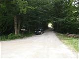 2
2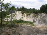 3
3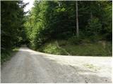 4
4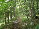 5
5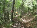 6
6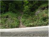 7
7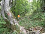 8
8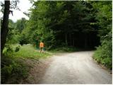 9
9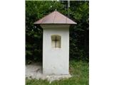 10
10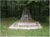 11
11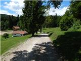 12
12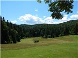 13
13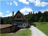 14
14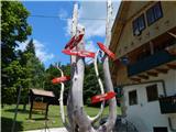 15
15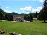 16
16 17
17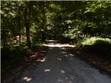 18
18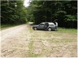 19
19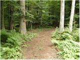 20
20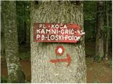 21
21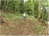 22
22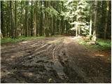 23
23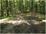 24
24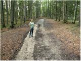 25
25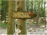 26
26 27
27 28
28 29
29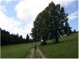 30
30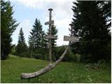 31
31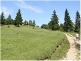 32
32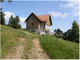 33
33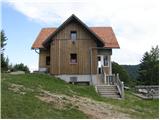 34
34
Discussion about the trail Nova Štifta - Koča na Kamnem griču