Novo Selo Okićko - Dom pod Okićem
Starting point: Novo Selo Okićko (335 m)
| Lat/Lon: | 45,7389°N 15,7034°E |
| |
Time of walking: 30 min
Difficulty: easy marked way
Altitude difference: 76 m
Altitude difference po putu: 140 m
Map:
Recommended equipment (summer):
Recommended equipment (winter):
Views: 2.000
 | 1 person likes this post |
Access to the starting point:
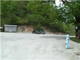
Leave the Zagreb-Karlovac motorway at the Zdenčina exit. Go straight ahead at the traffic lights. Only in Klinča Sela we will go left at one crossroads (the arrow is unusually placed lower down on the fence). Now we just keep going and we arrive in the village of Novo Selo Okićko. When you get to the bus turnaround, park your vehicle in a suitable place.
Path description:
From the bus turnaround in Novo Selo Okićkem, head north down to the wider road. The path descends to an abandoned chapel at which there is a crossroads. From the chapel, continue right along the initially still wide cart track, which you quickly leave, as the path leads you left onto a narrower path. Initially, the path is on a slope, but then it descends to a nearby stream. Cross the stream, then start climbing through the forest. After a steep climb of a few minutes, you will come to the edge of the forest, where there is a hunting observation post.
The path immediately returns to the forest and starts descending again, then leads out of the forest and onto a meadow. Here, the path from the village of Sveti Martin pod Okićem joins us from the right. The path continues to climb steeply along the edge of the forest, and then, when we return to the forest, it is laid. It is then about a 5-minute walk to the foot of Okić Peak. Then cross the Okićnica stream and you will arrive at the Doma pod Okićem (near the Okićem, three paths branch off to the right towards the Okić summit wall).

Pictures:
 1
1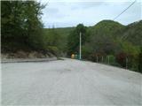 2
2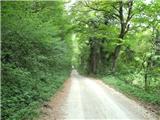 3
3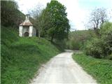 4
4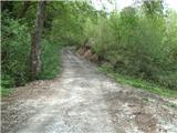 5
5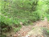 6
6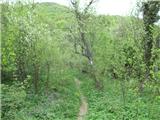 7
7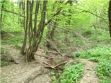 8
8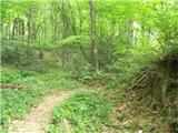 9
9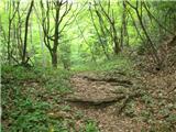 10
10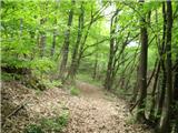 11
11 12
12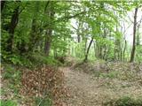 13
13 14
14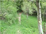 15
15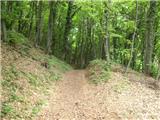 16
16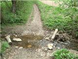 17
17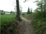 18
18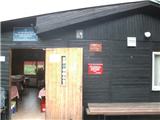 19
19
Discussion about the trail Novo Selo Okićko - Dom pod Okićem