Starting point: Nuskova (237 m)
| Lat/Lon: | 46,81065°N 16,02895°E |
| |
Time of walking: 30 min
Difficulty: easy marked way
Altitude difference: 109 m
Altitude difference po putu: 109 m
Map: Pomurje 1:50.000
Recommended equipment (summer):
Recommended equipment (winter):
Views: 214
 | 0 people like this post |
Access to the starting point:
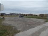
Drive to Gederovci (to get here from Murska Sobota or Radenci), then continue driving to Kuzma. After Rogašovci you will arrive in Nuskova, and a little after the road sign marking the end of Nuskova, turn left into the nearby parking lot, which is located along the main road. Park in the part of the parking lot along the main road, the other part is for buses.
Path description:
At the parking lot, signs for the Vrbovo trail and Slatinski vrelec direct you to a side road that continues westwards. The side road soon crosses the Ledava River, and a little further on, turn right at the crossroads onto a dirt road, where you will also find signs for the Slatinski vrelec. Leave the dirt road quickly and go left over the small bridge, then continue along the boardwalk to the Slatina Spring Nuskova.
From the slatine spring, return to the asphalt road and then start the initially easy ascent. When you reach the houses, the road becomes a bit steeper and at the crossroads of the asphalt roads, keep to the right. Higher up, you pass a few more houses, and then, with fine views of the nearby Serdiški breg and the surrounding hills, you reach the highest point of the asphalt road. Go left here (straight ahead to the last house) onto the dirt road and walk to the nearby grassy summit.
Starting point - slatinski vrelec 0:05, slatinski vrelec - Beli breg 0:25.
Description and pictures refer to March 2021.

Pictures:
 1
1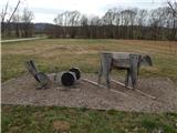 2
2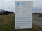 3
3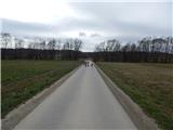 4
4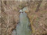 5
5 6
6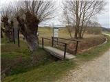 7
7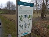 8
8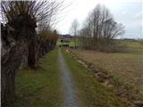 9
9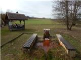 10
10 11
11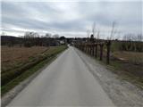 12
12 13
13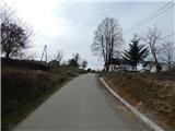 14
14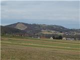 15
15 16
16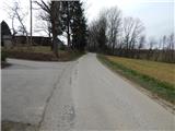 17
17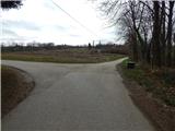 18
18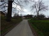 19
19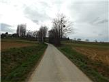 20
20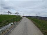 21
21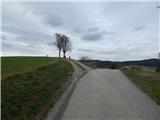 22
22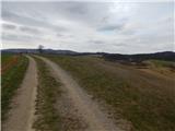 23
23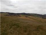 24
24
Discussion about the trail Nuskova - Beli breg